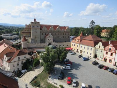
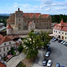
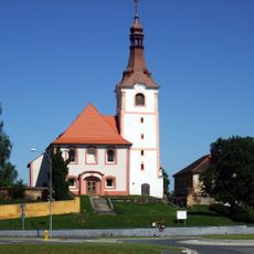
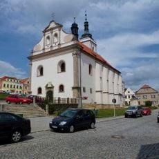
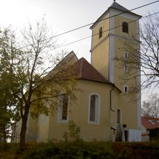
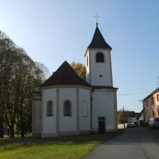
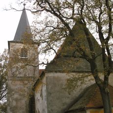
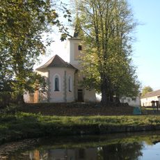
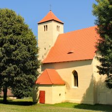
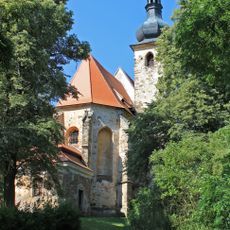
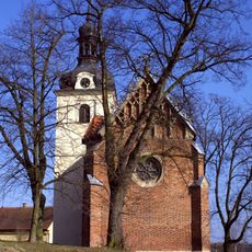
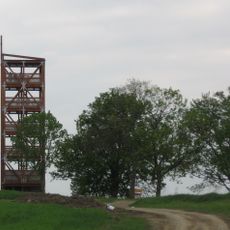
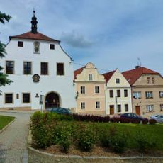
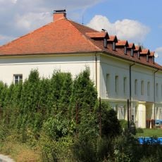
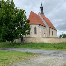
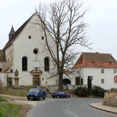
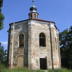
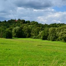
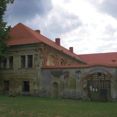
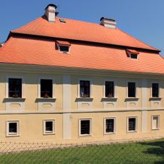
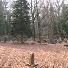
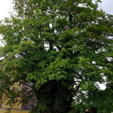
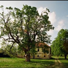
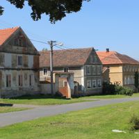
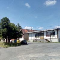
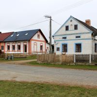
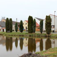
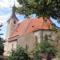
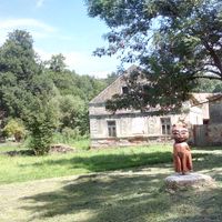
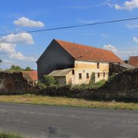
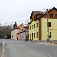
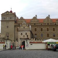
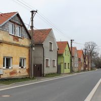
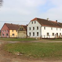
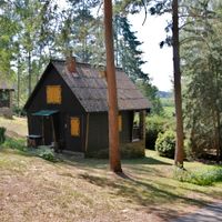
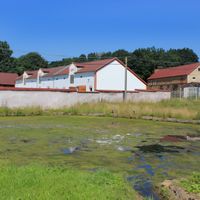
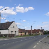
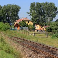
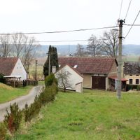
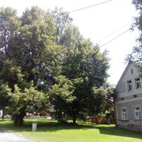
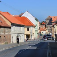
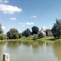
Horšovský Týn, town in the Czech Republic
Location: Domažlice District
Location: správní obvod obce s rozšířenou působností Horšovský Týn
Elevation above the sea: 376 m
Shares border with: Hostouň, Srby, Vidice, Mířkov, Křenovy, Semněvice, Puclice, Osvračín, Meclov, Bukovec, Blížejov
Email: podatelna@muht.cz
Website: http://horsovskytyn.cz
GPS coordinates: 49.52976,12.94409
Latest update: April 7, 2025 08:00
Horšovský Týn Castle
133 m
Church of Saint Martin (Blížejov)
4.7 km
Church of Saints Peter and Paul
13 m
Church of Saint Apollinaris
414 m
Church of Saint Michael
5.3 km
Church of Saint Vitus
8.1 km
Church of Saint Lawrence
9.6 km
Church of Saint Wenceslaus
7.1 km
Church of the Assumption of the Virgin Mary
7.3 km
Church of Saint Anne (Horšovský Týn)
1.9 km
Saint Nicholas church
8.4 km
Šibeniční vrch (rozhledna)
1.5 km
Town hall in Horšovský Týn
65 m
Chotiměř
6.2 km
All Saints church
2.2 km
Church of Saints Vitus, Wenceslaus and Adalbert
239 m
Loreto chapel (Horšovský Týn)
625 m
Tasnovice (hill fort)
9.6 km
Čečovice (castle)
8.3 km
Castello di Bukovec
7.3 km
Castle Tasnovice
8.9 km
Blížejov (castle)
4.7 km
Alej ke sv. Anně
1.8 km
Stations of the Cross in Horšovský Týn
1.9 km
Chapel of Saint John of Nepomuk
6.3 km
Jewish cemetery in Puclice
5.1 km
Javor pod zámkem
196 m
Javor u Vdovského domu
164 mReviews
Visited this place? Tap the stars to rate it and share your experience / photos with the community! Try now! You can cancel it anytime.
Discover hidden gems everywhere you go!
From secret cafés to breathtaking viewpoints, skip the crowded tourist spots and find places that match your style. Our app makes it easy with voice search, smart filtering, route optimization, and insider tips from travelers worldwide. Download now for the complete mobile experience.
A unique approach to discovering new places❞
— Le Figaro
All the places worth exploring❞
— France Info
A tailor-made excursion in just a few clicks❞
— 20 Minutes