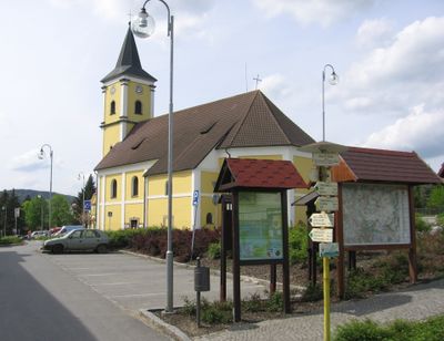
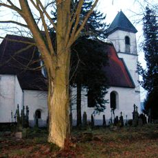
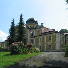
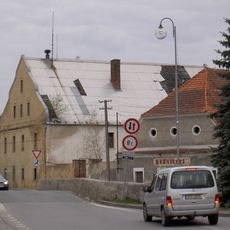
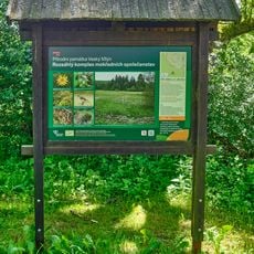
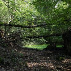
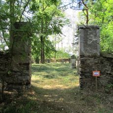
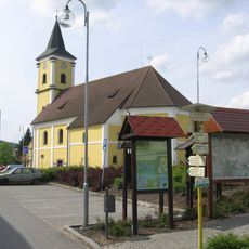
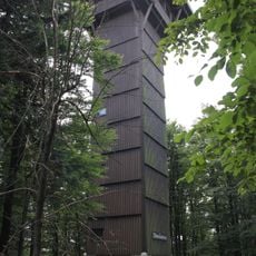
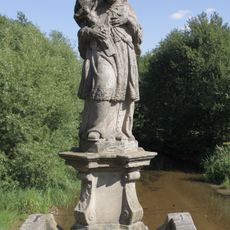
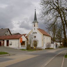
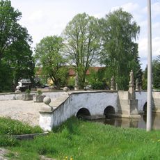
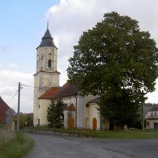
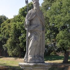
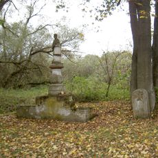
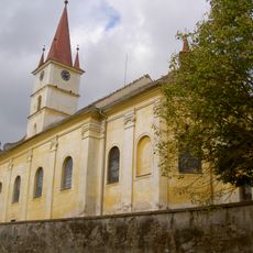
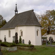
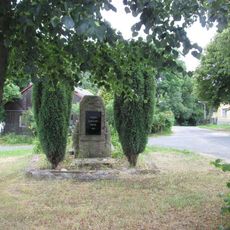
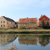
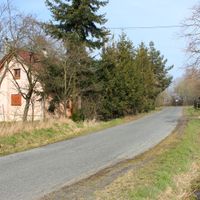
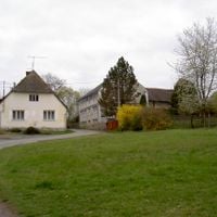
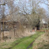
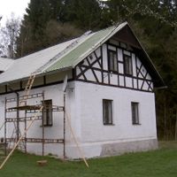
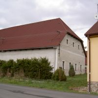
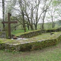
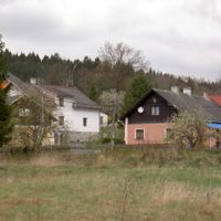
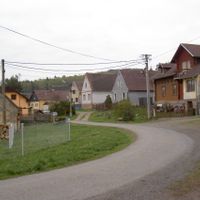
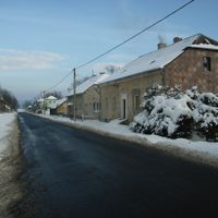
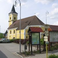
Bělá nad Radbuzou, town in the Czech Republic
Location: Domažlice District
Location: správní obvod obce s rozšířenou působností Domažlice
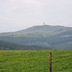
Elevation above the sea: 442 m
Shares border with: Hostouň, Rybník, Stráž, Třemešné, Mutěnín, Stadlern, Schönsee, Eslarn
Email: starosta@belanr.cz
Website: http://belanr.cz
GPS coordinates: 49.59127,12.71765
Latest update: March 15, 2025 10:41
Church of the Exaltation of the Holy Cross
2.6 km
Castle Diana
9.8 km
Plattenberg
7.4 km
Weingartnerfels
9.7 km
Castle in Bělá nad Radbuzou
294 m
Pleš
7.3 km
Malý Zvon
8.2 km
Veský mlýn
10.4 km
Mutěnínský lom
4.8 km
Jewish cemetery in Mutěnín
6.1 km
Church of Our Lady of Sorrows
76 m
Lípa v Bystřici u Bělé nad Radbuzou
2.6 km
Pfarrhaus
5.1 km
Rectory
2.6 km
Nad Hutí
7.4 km
Dub v Čečíně
2 km
Ořešák v Doubravce
2.7 km
Böhmerwald Tower
9.7 km
Statue of Saint John of Nepomuk on the bridge in Bělá nad Radbuzou
93 m
Katholische Kirche St. Maria
13 km
Most Nádražní ulice přes Radbuzu v Bělé nad Radbuzou
217 m
Baroque stone bridge over the Radbuza in Bělá nad Radbuzou
87 m
Church of Saint Bartholomew
5.5 km
Statue of Saint Erasmus on the bridge in Bělá nad Radbuzou
98 m
Statue of John of Nepomuk
5.5 km
Church of Saint James the Greater
5.1 km
Church of the Assumption of the Virgin Mary
5.4 km
Památník v obci Dehetná
5.4 kmReviews
Visited this place? Tap the stars to rate it and share your experience / photos with the community! Try now! You can cancel it anytime.
Discover hidden gems everywhere you go!
From secret cafés to breathtaking viewpoints, skip the crowded tourist spots and find places that match your style. Our app makes it easy with voice search, smart filtering, route optimization, and insider tips from travelers worldwide. Download now for the complete mobile experience.
A unique approach to discovering new places❞
— Le Figaro
All the places worth exploring❞
— France Info
A tailor-made excursion in just a few clicks❞
— 20 Minutes