
Uherčice, village in Břeclav District of South Moravian region
Location: Хустопече
Location: Břeclav District
Location: Хустопече
Elevation above the sea: 169 m
Shares border with: Vranovice, Nosislav, Přísnotice, Popice, Pouzdřany, Velké Němčice, Starovice
Email: obec@uhercice.cz
Website: http://uhercice.cz
GPS coordinates: 48.96783,16.65344
Latest update: March 12, 2025 18:52
Pouzdřany Castle
3.6 km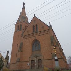
Kostel svatého Jana Křtitele
122 m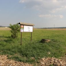
Plácky
2.4 km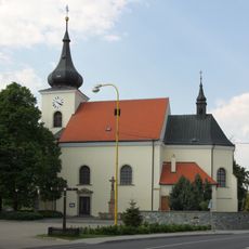
Church of Saints Wenceslaus and Vitus
3 km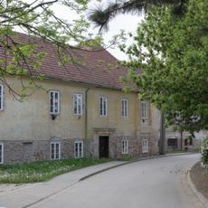
Vodní mlýn Velké Němčice
2.8 km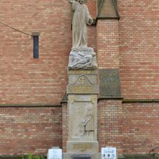
World Wars memorial in Uherčice
125 m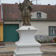
Statue of John of Nepomuk in Uherčice
40 m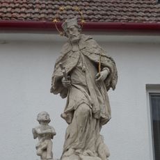
Socha svatého Jana Nepomuckého
2.8 km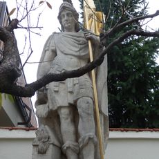
Socha svatého Floriána
4.3 km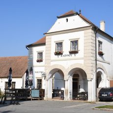
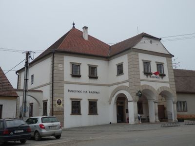
Town hall in Uherčice
138 m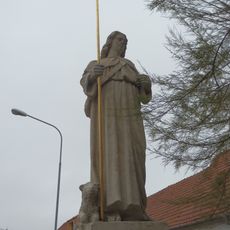
Socha svatého Vendelína
4.2 km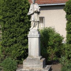
Socha svatého Jana Nepomuckého
2.9 km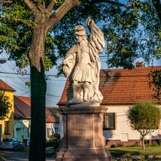
Socha svatého Floriána
3.2 km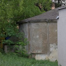
Kaštílek
3 km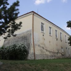
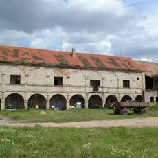
Zámek Velké Němčice
2.9 km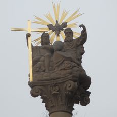
Sousoší Nejsvětější Trojice
4.6 km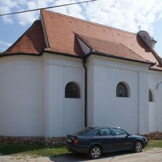
Kaple svatého Rocha, Šebestiána a Rozálie
4.1 km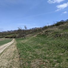
Hochberk
3.2 km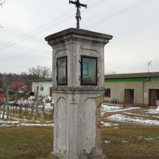
Column shrine in Uherčice
725 m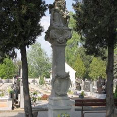
Sousoší Piety
3 km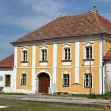
Fara
4.2 km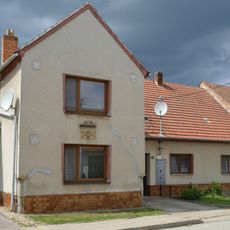
Usedlost čp. 92
4.1 km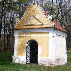
Chapel of Saint Rosalia
3.3 km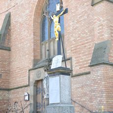
Kříž před kostelem v Uherčicích
113 m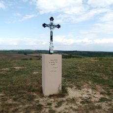
Wayside cross
2.9 km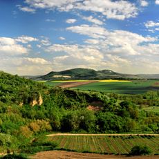
Pouzdřanská step - Kolby
2.2 km
Hochberk
3.2 km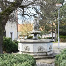
Fountain in Velké Němčice
2.9 kmVisited this place? Tap the stars to rate it and share your experience / photos with the community! Try now! You can cancel it anytime.
Discover hidden gems everywhere you go!
From secret cafés to breathtaking viewpoints, skip the crowded tourist spots and find places that match your style. Our app makes it easy with voice search, smart filtering, route optimization, and insider tips from travelers worldwide. Download now for the complete mobile experience.

A unique approach to discovering new places❞
— Le Figaro
All the places worth exploring❞
— France Info
A tailor-made excursion in just a few clicks❞
— 20 Minutes