
Branišovice, village in Brno-venkov District of South Moravian region
Location: správní obvod obce s rozšířenou působností Pohořelice
Location: Brno-Country District
Location: správní obvod obce s rozšířenou působností Pohořelice
Elevation above the sea: 194 m
Shares border with: Pohořelice, Olbramovice, Trnové Pole, Šumice, Vlasatice
Email: starosta@branisovice.cz
Website: http://branisovice.cz
GPS coordinates: 48.96284,16.43185
Latest update: March 24, 2025 06:16
Vlasatice Castle
4.7 km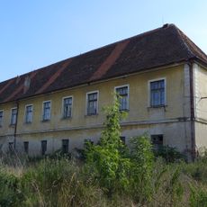
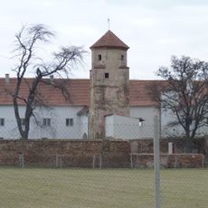
Branišovice Castle
321 m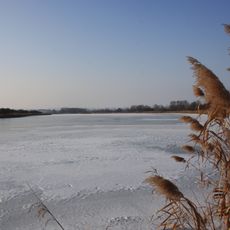
Šumický rybník
3.1 km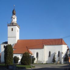
Church of Saint James the Greater
4.3 km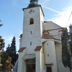
Church of Saint John the Baptist
5 km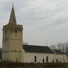
Church of Saint Giles
4.4 km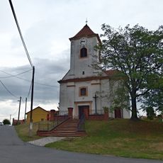
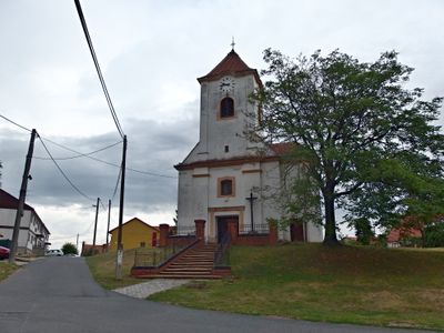
Church of Saint Lawrence
56 m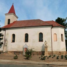
Church of Our Lady of Sorrows
4.6 km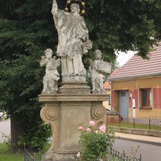
Socha svatého Jana Nepomuckého
4.1 km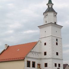
Town hall in Olbramovice
4.2 km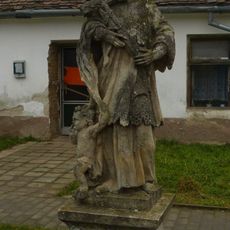
Socha svatého Jana Nepomuckého
4.4 km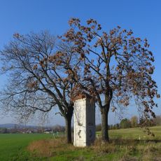
Trojboká poklona
4.6 km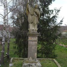
Socha svatého Jana Nepomuckého
3.2 km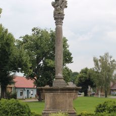
Maria column in Olbramovice
4.2 km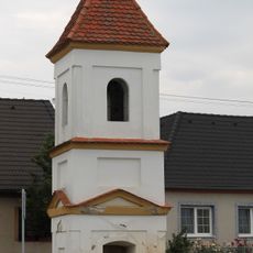
Bell tower in Lidměřice
3.2 km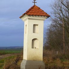
Boží muka
3 km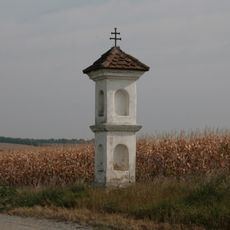
Boží muka
4.5 km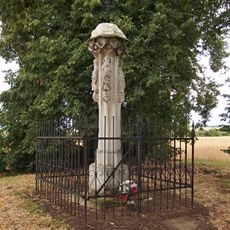
Boží muka
4.6 km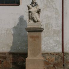
Sousoší Piety
4.6 km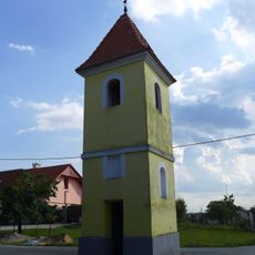
Bell tower in Branišovice
514 m
Olbramovice, zvonice u čp. 191
3.1 km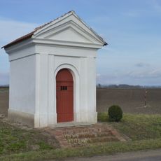
Chapel of Saint Anthony of Padua
4.5 km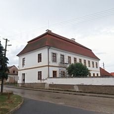
Rectory in Olbramovice
4.3 km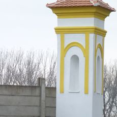
Column shrine in Troskotovice
4.5 km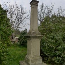
Krucifix
3.6 km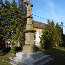
Krucifix
5 km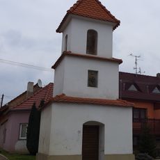
Bell tower in Šumice
3.5 km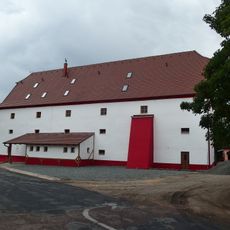
Sýpka v Branišovicích
183 mVisited this place? Tap the stars to rate it and share your experience / photos with the community! Try now! You can cancel it anytime.
Discover hidden gems everywhere you go!
From secret cafés to breathtaking viewpoints, skip the crowded tourist spots and find places that match your style. Our app makes it easy with voice search, smart filtering, route optimization, and insider tips from travelers worldwide. Download now for the complete mobile experience.

A unique approach to discovering new places❞
— Le Figaro
All the places worth exploring❞
— France Info
A tailor-made excursion in just a few clicks❞
— 20 Minutes