
Starovice, village in Břeclav District of South Moravian region
Location: Хустопече
Location: Břeclav District
Location: Хустопече
Elevation above the sea: 198 m
Shares border with: Uherčice, Hustopeče, Popice, Velké Němčice
Email: podatelna@starovice.cz
Website: http://starovice.cz
GPS coordinates: 48.95161,16.70661
Latest update: March 3, 2025 14:31
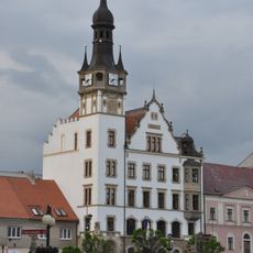
Town hall in Hustopeče
2.5 km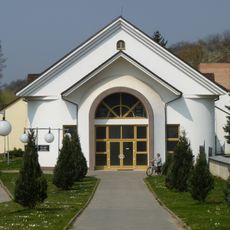
Crematorium in Hustopeče
2.4 km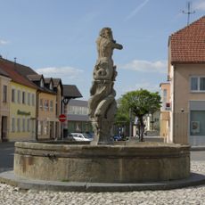
Kašna
2.5 km
Jewish cemetery in Hustopeče
2.4 km
Přední kopaniny
2.6 km
Protestant church in Hustopeče
2.4 km
Stará radnice
2.5 km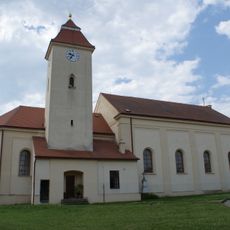
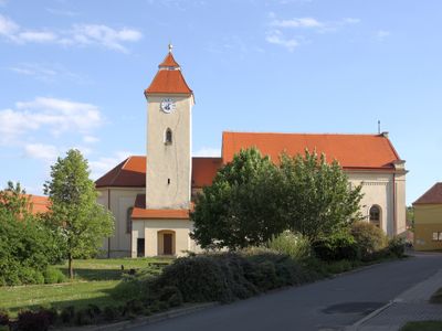
Church of Saint George
162 m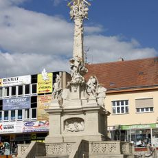
Holy Trinity Column in Hustopeče
2.6 km
Dům pánů z Vizovic
2.5 km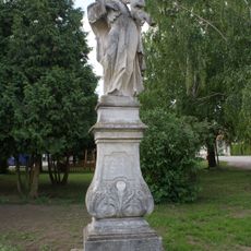
Socha svatého Antonína
136 m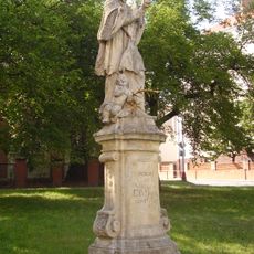
Statue of John of Nepomuk in Hustopeče
2.4 km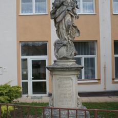
Socha Panny Marie Immaculaty
221 m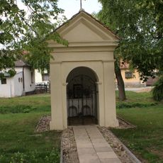
Chapel of Saint John of Nepomuk
291 m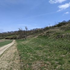
Hochberk
2.7 km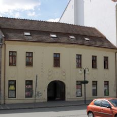
Dům čp. 10
2.5 km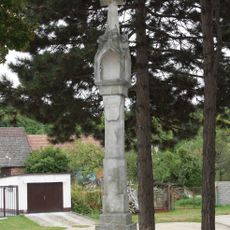
Gotická boží muka (Hustopeče)
2.5 km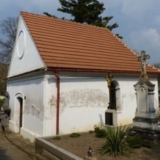
Cemetery chapel in Hustopeče
2.5 km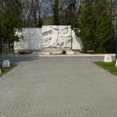
Hřbitov rudoarmějců v Hustopečích
2.4 km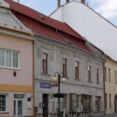
Dům čp. 35
2.5 km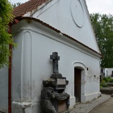
Pohřební kaple s náhrobkem F. Gottlieba a hlavním křížem
2.5 km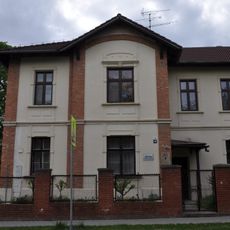
Evangelická fara v Hustopečích u Brna
2.4 km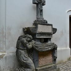
Franz Gottlieb grave
2.5 km
Hochberk
2.7 km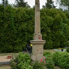
Main cross in Hustopeče Cemetery
2.5 km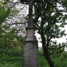
Wayside cross between Hustopeče and Šakvice
2.3 km
Přední kopaniny
2.6 km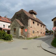
Historická budova střelnice
2.5 kmVisited this place? Tap the stars to rate it and share your experience / photos with the community! Try now! You can cancel it anytime.
Discover hidden gems everywhere you go!
From secret cafés to breathtaking viewpoints, skip the crowded tourist spots and find places that match your style. Our app makes it easy with voice search, smart filtering, route optimization, and insider tips from travelers worldwide. Download now for the complete mobile experience.

A unique approach to discovering new places❞
— Le Figaro
All the places worth exploring❞
— France Info
A tailor-made excursion in just a few clicks❞
— 20 Minutes