
Karlín, village in Hodonín District of South Moravian region
Location: Hodonín
Location: Hodonín District
Location: Hodonín
Elevation above the sea: 195 m
Shares border with: Nenkovice, Hovorany, Násedlovice
Email: obec.karlin@tiscali.cz
Website: http://obeckarlin.cz
GPS coordinates: 48.97579,16.97730
Latest update: April 2, 2025 22:55
Church of the Sacred Heart of Our Lord
3.5 km
Louky pod Kumstátem
4.7 km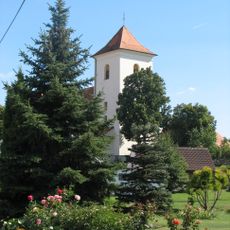
Church of Saint James the Greater (Želetice)
4.8 km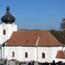
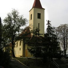
Church of Saint John the Baptist
2.8 km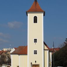
Church of Saint Michael
3.9 km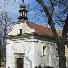
Chapel of Saint Wendelin
3.5 km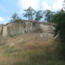
Výchoz
4 km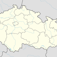
Spálený potok
5.3 km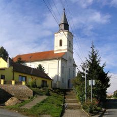
Church of Saint Bartholomew
5.4 km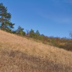
Sovince
4.4 km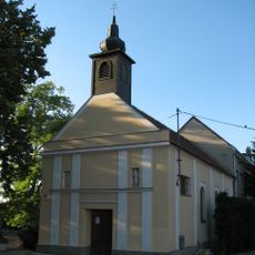
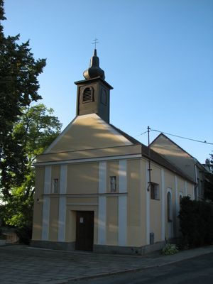
Chapel of Saint Charles Borromeo in Karlín
10 m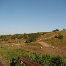
Zápověď u Karlína
871 m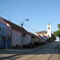
Church of Saints Martin and Cyril and Methodius (Násedlovice)
4.4 km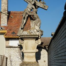
Socha svatého Kajetána
3.8 km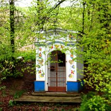
Chapel of Saints Cyril and Methodius
4.4 km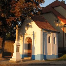
Kaple
4.7 km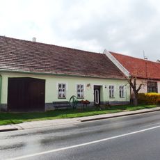
Dům čp. 213
4.7 km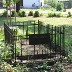
Náhrobek Friedricha Clausewitze
3.5 km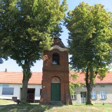
Zvonice
4 km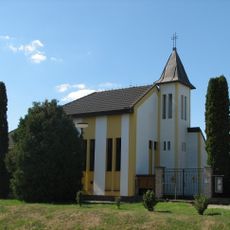
Chapel of Assumption
3.8 km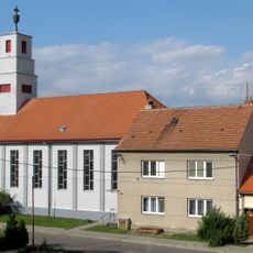
Hussite church
2.9 km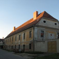
Biskupská rezidence
3.7 km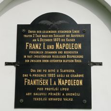
Pamětní deska na ukončení napoleonských válek
5.5 km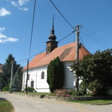
Chapel of Saint Florian
4.9 km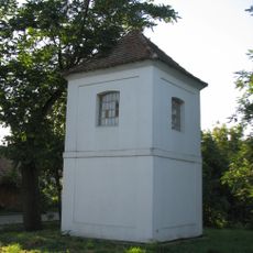
Chapel of Saint Wenceslaus
4 km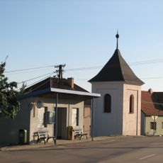
Evangelická zvonice v Násedlovicích
4.2 km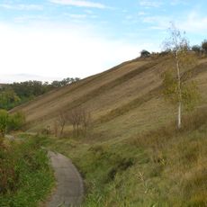
Louky pod Kumstátem
4.4 km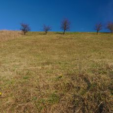
Na Adamcích
3.8 kmReviews
Visited this place? Tap the stars to rate it and share your experience / photos with the community! Try now! You can cancel it anytime.
Discover hidden gems everywhere you go!
From secret cafés to breathtaking viewpoints, skip the crowded tourist spots and find places that match your style. Our app makes it easy with voice search, smart filtering, route optimization, and insider tips from travelers worldwide. Download now for the complete mobile experience.

A unique approach to discovering new places❞
— Le Figaro
All the places worth exploring❞
— France Info
A tailor-made excursion in just a few clicks❞
— 20 Minutes