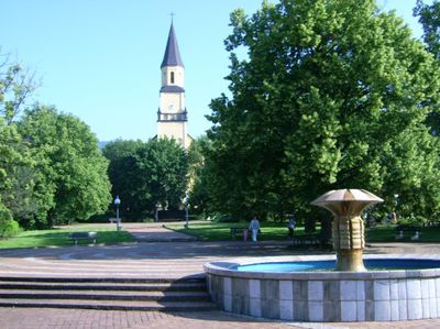
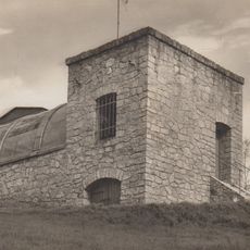
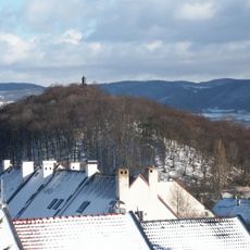
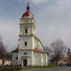
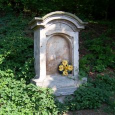
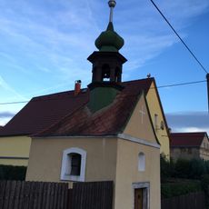
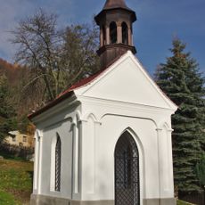
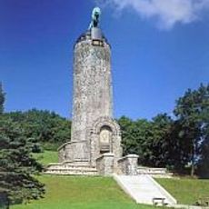
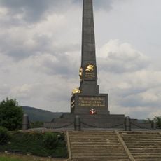
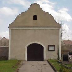
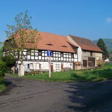
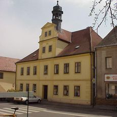
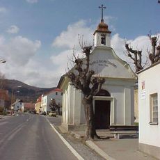
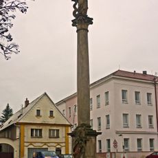
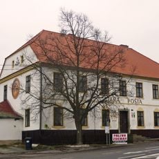
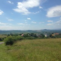
Chlumec, town in the Czech Republic
Location: Ústí nad Labem District
Elevation above the sea: 235 m
Shares border with: Krupka, Přestanov, Ústí nad Labem, Chabařovice, Telnice
Email: mesto@mesto-chlumec.cz
Website: http://mesto-chlumec.cz
GPS coordinates: 50.69980,13.93975
Latest update: March 3, 2025 03:36
Ústecká hvězdárna
3.5 km
Church of Saint Gall in Chlumec
52 m
Území bojiště u Přestanova, Chlumce a Varvažova
583 m
Footbridge Kočičí oči
1.2 km
Chapel of the Holy Trinity in Chlumec
250 m
Church of the Nativity of the Virgin Mary
3 km
Schinkel-Tabernakel von Kulm
1.7 km
Chapel of Saint Mary
3.2 km
Hřbitovní kaple
590 m
Town Museum Chabařovice
3.1 km
Chapel of Saint John of Nepomuk
1.4 km
Křížová cesta
235 m
Kaple
867 m
Kaple
3.2 km
Rakouský jubilejní pomník bitvy u Chlumce 1813
481 m
Statue of Ecce Homo from Vyklice in Chlumec
61 m
Most přes Chlumecký potok u kostela v Chlumci
19 m
Austrian monument to the Battle of Kulm in Varvažov
1.9 km
Chapel of Saint Michael
3.2 km
Martínkovna
42 m
Pietà in Chlumec (Ústí nad Labem District)
132 m
Radnice včetně šatlavy
3.1 km
Chapel of Saint Anthony of Padua
2 km
Francouzský pomník bitvy 1813
1.8 km
Sloup se sochou Panny Marie
3 km
Pomník bitvy roku 1813
1.4 km
Stará pošta Telnice
1.8 km
Pomník Fridricha Schöna na místě bývalého dolu Fridrich II
2.8 kmReviews
Visited this place? Tap the stars to rate it and share your experience / photos with the community! Try now! You can cancel it anytime.
Discover hidden gems everywhere you go!
From secret cafés to breathtaking viewpoints, skip the crowded tourist spots and find places that match your style. Our app makes it easy with voice search, smart filtering, route optimization, and insider tips from travelers worldwide. Download now for the complete mobile experience.
A unique approach to discovering new places❞
— Le Figaro
All the places worth exploring❞
— France Info
A tailor-made excursion in just a few clicks❞
— 20 Minutes