
Dolní Lhota, village in Ostrava-město District of Moravian Silesian region
Location: Ostrava-City District
Elevation above the sea: 292 m
Shares border with: Čavisov, Horní Lhota, Velká Polom, Ostrava
Website: http://dolnilhota.cz
GPS coordinates: 49.84235,18.09246
Latest update: April 23, 2025 20:52

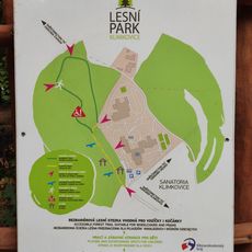
Educational Trail Lesní Park Klimkovice
3.8 km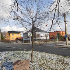
Lípa svobody Krásné Pole
2.4 km
Ostrava planetarium
3.8 km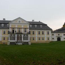
Zámek Kyjovice
3.6 km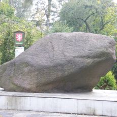
Porubský bludný balvan
4.9 km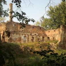
Velkopolom Fortress
2.3 km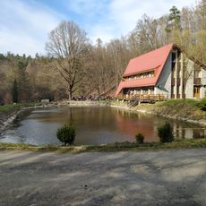
Čertův Mlýn
4.5 km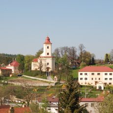
Church of Saint James the Greater
4.6 km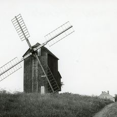
Windmill in Ostrava (district Poruba), Czech Republic
4.8 km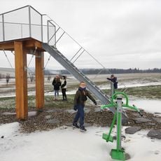
Vyhlídková plošina Krásné Pole
2.6 km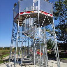
Stříbrná věž
4.1 km
Oherův běžecký okruh
3.9 km
Stará vodárna
4.5 km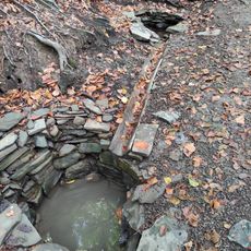
Liduščiny studánky
4.2 km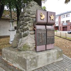
World War I and II memorial in Vřesina
3.5 km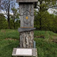
Bítov
4.9 km
Buky v Krásném Poli
2.5 km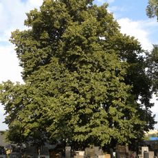
Lípa ve Velké Polomi
2.5 km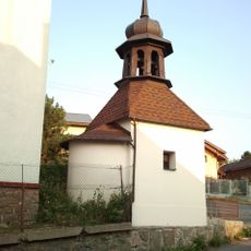
Chapel of Saint Anthony of Padua
3.2 km
Mother and Child
4.9 km
Hrob a pomník příslušníků 1. tankové brigády
106 m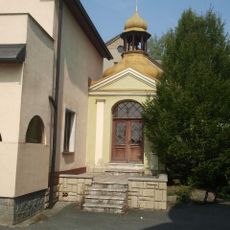
Kaple
2.5 km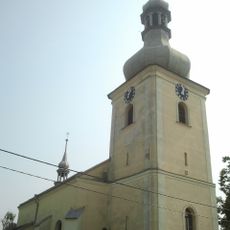
Church of Saint Wenceslaus
2.5 km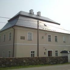
Fara
2.5 km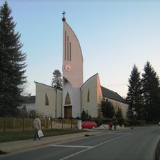
Church of Saint Anthony of Padua
3.1 km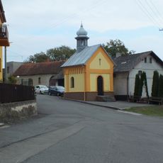
Chapel of Saint Matthew
4.3 km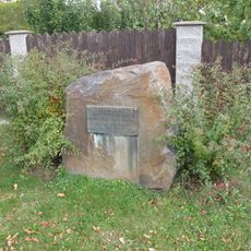
Pomník padlým v Budišovicích
4.3 km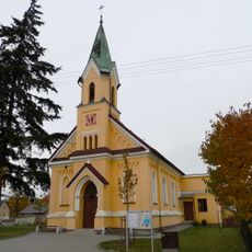
Chapel of Saint Vitus
3.8 kmReviews
Visited this place? Tap the stars to rate it and share your experience / photos with the community! Try now! You can cancel it anytime.
Discover hidden gems everywhere you go!
From secret cafés to breathtaking viewpoints, skip the crowded tourist spots and find places that match your style. Our app makes it easy with voice search, smart filtering, route optimization, and insider tips from travelers worldwide. Download now for the complete mobile experience.

A unique approach to discovering new places❞
— Le Figaro
All the places worth exploring❞
— France Info
A tailor-made excursion in just a few clicks❞
— 20 Minutes