
Bedřichov, village in Blansko District of South Moravian region
Location: obvod obce s rozšířenou působností Boskovice
Location: Blansko District
Elevation above the sea: 603 m
Shares border with: Kunštát, Černovice, Strhaře, Brumov, Lhota u Lysic, Kunčina Ves, Kozárov
Email: obecniurad.bedrichov@tiscali.cz
Website: http://obecbedrichov.cz
GPS coordinates: 49.46121,16.46535
Latest update: March 9, 2025 13:54

Rychvald
3.4 km
Sýkoř
4.5 km
Osiky Castle
3.6 km
Babylon (Blansko District)
2 km
Church of Saint Stanislaus
3.4 km
Přírodní park Lysicko
3.5 km
Žižkův stůl
1.4 km
Horní Židovka
3.7 km
Hersica
2 km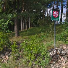
Padělky
3.3 km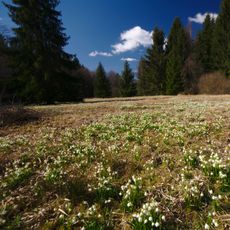
Ploník (nature reserve)
3.5 km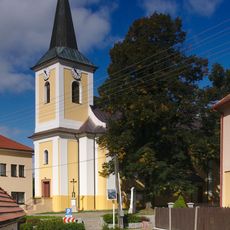
Church of Saint Nicholas
164 m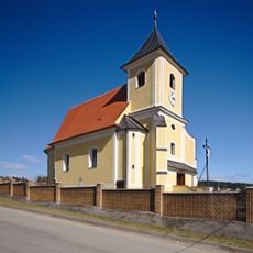
Church of Saint John the Baptist
4 km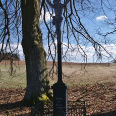
Kříž
3.4 km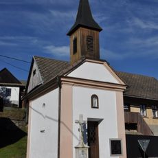
Chapel of Saints Cyril and Methodius
3.8 km
Fara
4 km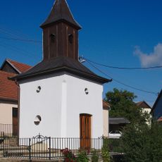
Chapel of the Nativity of the Virgin Mary
2.4 km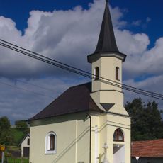
Chapel of the Assumption
2.8 km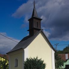
Chapel of the Virgin Mary of the Rosary
3.5 km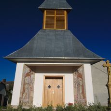
Chapel
2.7 km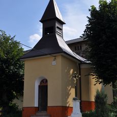
Chapel of Saints Cyril and Methodius
1.8 km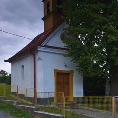
Chapel of Saint Philomena
3.3 km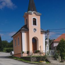
Chapel of Saint Anne
2 km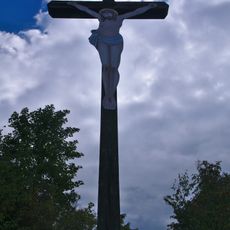
Kříž
3.1 km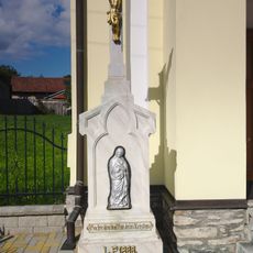
Kříž
2.8 km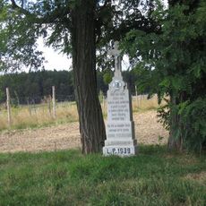
Pamětní kříž jižně od Bedřichova u silnice na Kozárov
600 m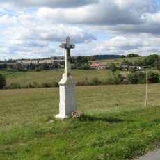
Pamětní kříž jižně od Kozárova u silnice k rozcestí Rašov
2.2 km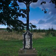
Pamětní kříž na severním okraji Kozárova u křižovatky silnic
1.7 kmVisited this place? Tap the stars to rate it and share your experience / photos with the community! Try now! You can cancel it anytime.
Discover hidden gems everywhere you go!
From secret cafés to breathtaking viewpoints, skip the crowded tourist spots and find places that match your style. Our app makes it easy with voice search, smart filtering, route optimization, and insider tips from travelers worldwide. Download now for the complete mobile experience.

A unique approach to discovering new places❞
— Le Figaro
All the places worth exploring❞
— France Info
A tailor-made excursion in just a few clicks❞
— 20 Minutes