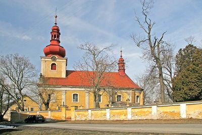
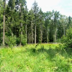
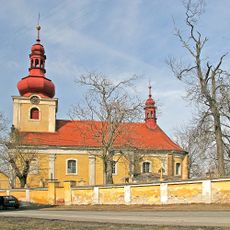
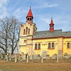
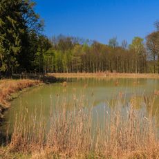
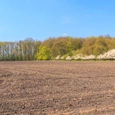
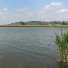
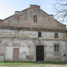
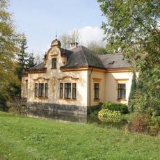
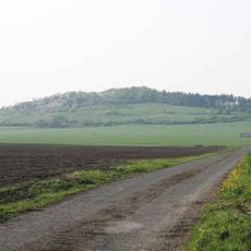
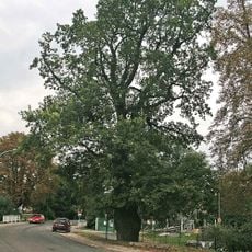
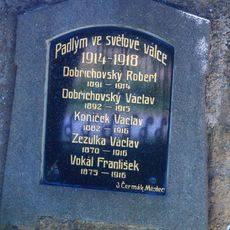
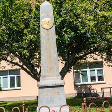
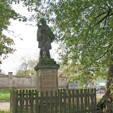
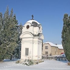
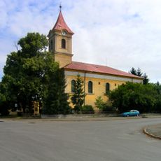
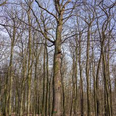
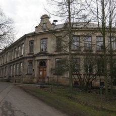
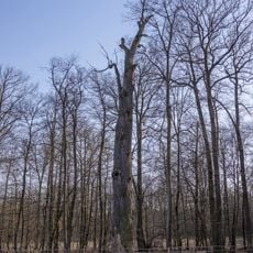
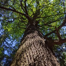
Žehuň, village in Kolín District of Central Bohemian region
Location: Kolín District
Location: administrative district Kolín
Elevation above the sea: 204 m
Shares border with: Kněžičky, Lovčice, Polní Chrčice, Choťovice, Hradčany, Dobšice
Email: ou-zehun@seznam.cz
Website: http://zehun.cz
GPS coordinates: 50.13554,15.29136
Latest update: April 1, 2025 09:59
Church of Saint Andrew
3.4 km
Kozí hůra
2.1 km
Neugebau
3.6 km
Žehuňsko - Báň
2.6 km
Dománovický les
4.6 km
Church of Saint Godehard
39 m
Church of the Nativity of the Virgin Mary
2.2 km
Čihadelské rybníky
4.7 km
Žiželický les
4.2 km
Ptačí oblast Žehuňský rybník – Obora Kněžičky
2.7 km
Václavíkův mlýn
107 m
Václavíkova vila
125 m
Ovčárská pahorkatina
2.9 km
Dub v Žehuni
298 m
Pomník padlých
2 km
Pomník padlých
3.3 km
Statue of John of Nepomuk in Žehuň
108 m
Dub v Podstáji II
4.5 km
Chapel of the Consecration of the Virgin Mary
3 km
Church of Saint John of Nepomuk
4.2 km
Dub v Podstáji III
4.6 km
Škola
27 m
Dub v Podstáji I
4.6 km
Dub letní v Plačku
5.5 km
Boží muka v aleji vedoucí z Polních Chrčic severně k rozhledně
2.5 km
Zvonička a kříž ve středu Opolánek
3.6 km
Fara
68 m
Česlová lávka přes výpusť Žehuňského rybníka
811 mReviews
Visited this place? Tap the stars to rate it and share your experience / photos with the community! Try now! You can cancel it anytime.
Discover hidden gems everywhere you go!
From secret cafés to breathtaking viewpoints, skip the crowded tourist spots and find places that match your style. Our app makes it easy with voice search, smart filtering, route optimization, and insider tips from travelers worldwide. Download now for the complete mobile experience.
A unique approach to discovering new places❞
— Le Figaro
All the places worth exploring❞
— France Info
A tailor-made excursion in just a few clicks❞
— 20 Minutes