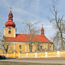
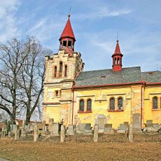
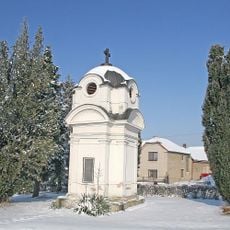
Kozí hůra, Natural monument in Choťovice, Czech Republic
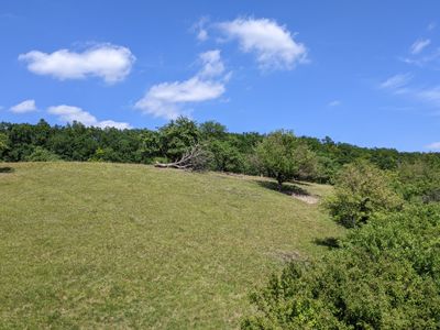
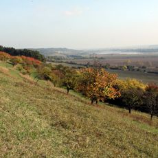
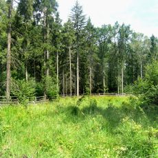
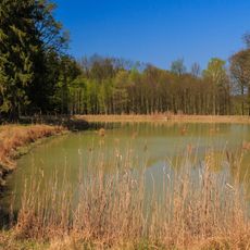
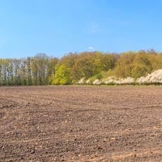
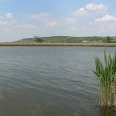
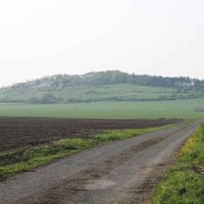
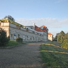
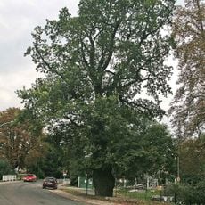
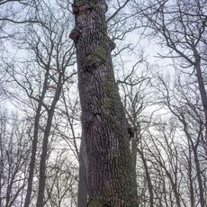
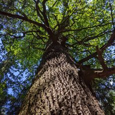
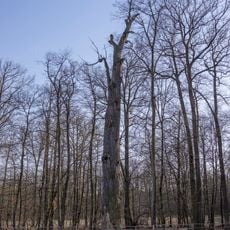
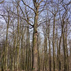
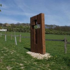
Kozí hůra is a natural monument with five distinct sections, featuring open grasslands with deciduous trees, oak-hornbeam forests, and wooded areas spread across elevations between 218 and 264 meters (715 and 866 feet). The total area spans 17.35 hectares (43 acres) with varied vegetation that creates different habitats for plants and animals.
The area received protection status on April 5, 2017 when regional authorities designated it as a natural monument. This official designation aimed to safeguard its diverse ecosystems for the future.
The southwest section functions as a game reserve where fallow deer and mouflon roam freely, shaping how the land is managed and used. These grazing animals are part of the everyday landscape that visitors encounter when walking through the area.
The site is accessible via a blue-marked hiking trail that connects Žehuň to Polní Chrčice. Since the D11 motorway divides different sections, visitors should plan their route carefully and follow the trail markings.
The geological foundation consists of chalk-era marl and clay covered by gravelly sediments, creating soil conditions that support rare plant communities found nowhere else nearby. This specific composition is why certain specialized species thrive in this location.
The community of curious travelers
AroundUs brings together thousands of curated places, local tips, and hidden gems, enriched daily by 60,000 contributors worldwide.