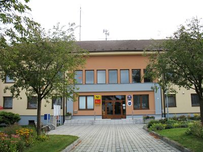
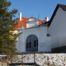
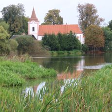
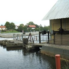
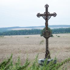
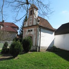
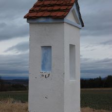
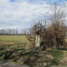
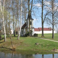
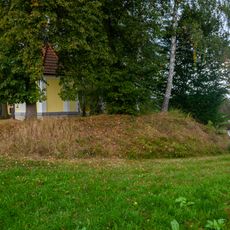
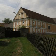
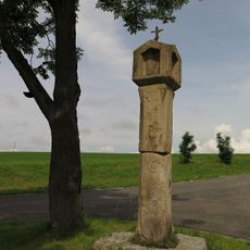
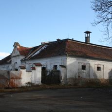
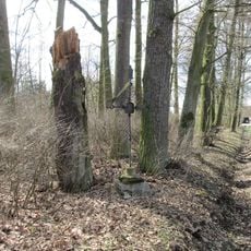
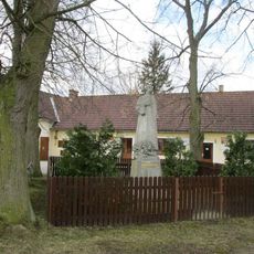
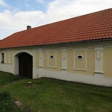
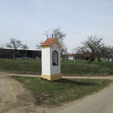
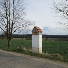
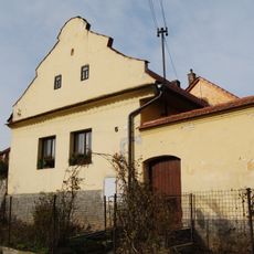
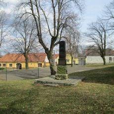
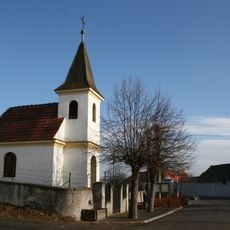
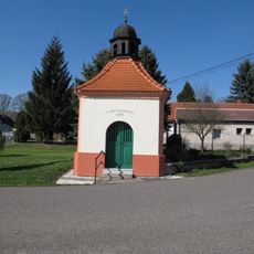
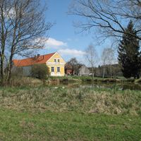
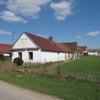
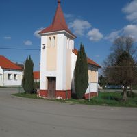
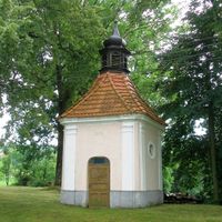
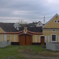
Žimutice, village in České Budějovice District of South Bohemian region
Location: České Budějovice District
Location: SO ORP Týn nad Vltavou
Elevation above the sea: 443 m
Shares border with: Horní Kněžeklady, Temelín, Týn nad Vltavou, Modrá Hůrka, Čenkov u Bechyně, Hluboká nad Vltavou, Dolní Bukovsko, Dobšice, Bečice, Záhoří, Hodětín, Březnice, Hartmanice
Email: ou@zimutice.cz
Website: http://zimutice.cz
GPS coordinates: 49.20379,14.51045
Latest update: March 6, 2025 18:24
Štátule
5 km
Hněvkovice Castle
4.8 km
Litoradlice
6.2 km
Church of Saint Martin
153 m
Church of the Assumption of the Virgin Mary
2.8 km
Hněvkovice watermill and weir
4.9 km
Wayside cross
6.4 km
Návesní kaplička včetně zvonku
2.3 km
Column shrine U Zejfa in Hartmanice
3.5 km
Krucifix II.
3.6 km
Kaple Panny Marie
1.7 km
Tvrz U kapličky
1.7 km
Pořežany 12
3.7 km
Usedlost čp. 12
5.8 km
Boží muka
5.3 km
Bzí Castle
3.3 km
Krucifix I.
3.4 km
Kaplička svatého Jana Nepomuckého
4.3 km
Socha mistra Jana Husa v Horních Kněžekladech
2.4 km
Usedlost čp. 5
6.1 km
Kaplička u Hartmanic
3.9 km
Zemědělský dvůr čp. 35
3.7 km
Boží muka u Předčic
4.8 km
Usedlost čp. 5
5.4 km
Pomník padlým ve Bzí
3.2 km
Pomník padlým v Hartmanicích
4 km
Chapel of Saint Vitus
1.5 km
Kaple v Předčicích
4.5 kmReviews
Visited this place? Tap the stars to rate it and share your experience / photos with the community! Try now! You can cancel it anytime.
Discover hidden gems everywhere you go!
From secret cafés to breathtaking viewpoints, skip the crowded tourist spots and find places that match your style. Our app makes it easy with voice search, smart filtering, route optimization, and insider tips from travelers worldwide. Download now for the complete mobile experience.
A unique approach to discovering new places❞
— Le Figaro
All the places worth exploring❞
— France Info
A tailor-made excursion in just a few clicks❞
— 20 Minutes