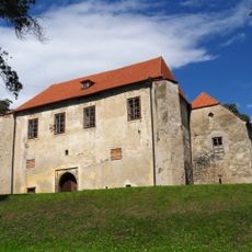
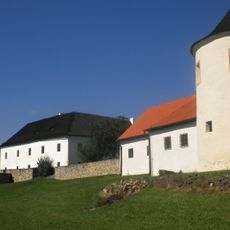
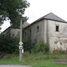
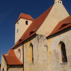
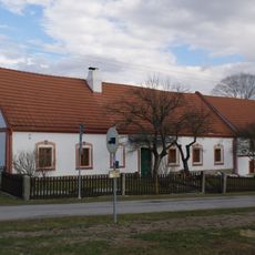
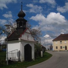
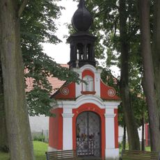
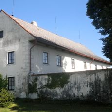
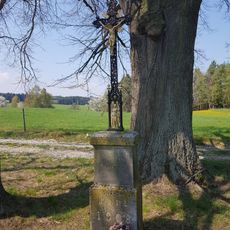
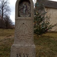
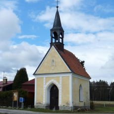
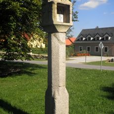
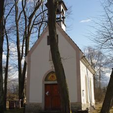
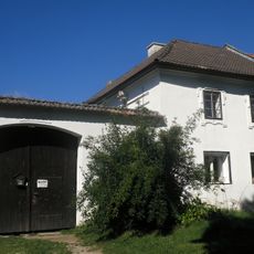
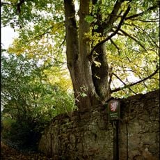
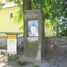
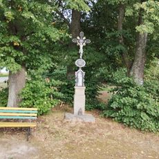
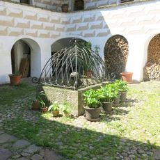
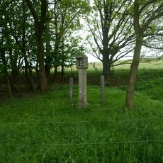
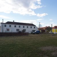
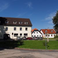
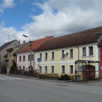
Žár, village in České Budějovice District of South Bohemian region
Location: České Budějovice District
Location: SO ORP Trhové Sviny
Elevation above the sea: 518 m
Shares border with: Olešnice, Trhové Sviny, Nové Hrady, Horní Stropnice, Kamenná
Email: obeczar@quick.cz
Website: https://obeczar.cz
GPS coordinates: 48.80694,14.70819
Latest update: March 4, 2025 05:06
Cuknštejn Fortress
4.7 km
Žumberk Fortress
2.4 km
Svébohy Castle
3.1 km
Church of the Beheading of Saint John the Baptist
2.3 km
Usedlost čp. 8
1.7 km
Cemetery in Žumberk
2.1 km
Chapel
4.1 km
Kaplička
3.1 km
Boží muka v Žumberku u hřbitova
2 km
Fara
2.2 km
Chapel of Virgin Mary
1.7 km
Kříž pod lipami
3 km
Column shrine at the road to Rychnov
4.4 km
Wayside shrine in Pěčín
2.8 km
Kaple sv. Jana Evangelisty
2.4 km
Column shrine
2.2 km
Boží muka u Chudějovské lípy
2 km
Kaple v Krčíně
3.9 km
Usedlost čp. 15
2.3 km
Chudějovická lípa
2 km
Kříž u kostela v Žumberku
2.3 km
Kříž na hřbitově v Žumberku
2.1 km
Žumberský jilm
2.1 km
Klažarský šikmý dub
2.9 km
Sloup u kostela v Žumberku
2.3 km
Kříž u rozcestí na Kamennou
2.2 km
Kašna na nádvoří tvrze v Žumberku
2.4 km
Boží muka u Božejova
2.1 kmReviews
Visited this place? Tap the stars to rate it and share your experience / photos with the community! Try now! You can cancel it anytime.
Discover hidden gems everywhere you go!
From secret cafés to breathtaking viewpoints, skip the crowded tourist spots and find places that match your style. Our app makes it easy with voice search, smart filtering, route optimization, and insider tips from travelers worldwide. Download now for the complete mobile experience.
A unique approach to discovering new places❞
— Le Figaro
All the places worth exploring❞
— France Info
A tailor-made excursion in just a few clicks❞
— 20 Minutes