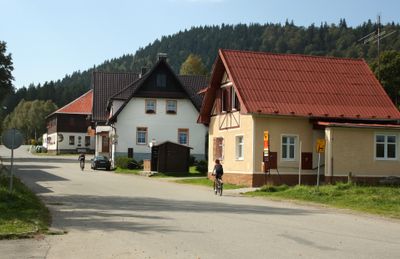
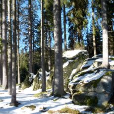
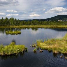
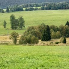
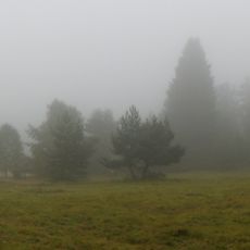
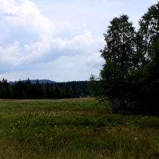
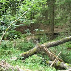
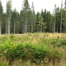
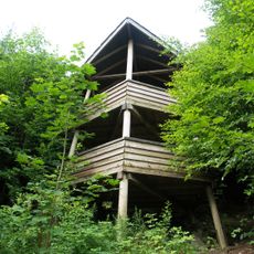
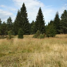
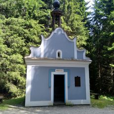
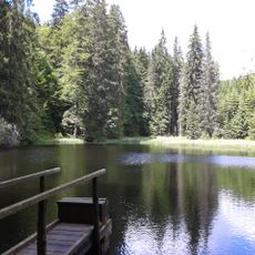
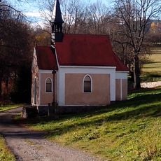
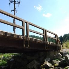
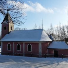
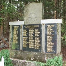
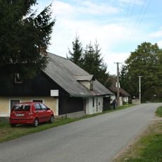
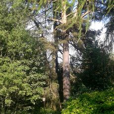
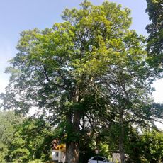
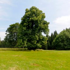
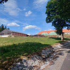
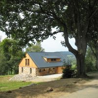
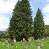
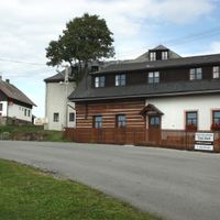
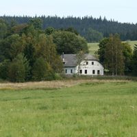
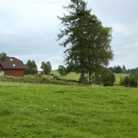
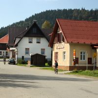
Borová Lada, village in Prachatice District of South Bohemian region
Location: Prachatice District
Location: administrative district of the municipality with expanded powers Vimperk
Elevation above the sea: 895 m
Shares border with: Kvilda, Horní Vltavice, Vimperk, Nové Hutě, Zdíkov, Strážný, Mauther Forst
Email: borovalada@sumavanet.cz
Website: http://borova-lada.cz
GPS coordinates: 48.98993,13.65987
Latest update: March 23, 2025 06:11
Šumava National Park
15.2 km
Chalupská slať
921 m
Monument to the Kings of Šumava
2.9 km
Beer pot
2.7 km
Pasecká slať
5.3 km
Tetřeví studánka
2.7 km
Radost
7.6 km
Buková slať
4.3 km
Polecká nádrž
5.3 km
Church of Saint Martin
2.2 km
Gold placer claim in Lipka
5.8 km
Najmanka
6.5 km
Pravětínská Lada
2.7 km
Rozhledna Vyhlídka
722 m
Pod Šindlovem
3.7 km
Chapel of Saint Anne
847 m
Nádrž U Tokaniště
3.9 km
Chapel of Saint Anne (Stará Lipka)
6.5 km
Most cesty k pomníku Králům Šumavy přes Teplou Vltavu
2.9 km
Church of the Sacred Heart (Nové Hutě)
5.5 km
World War I memorial in Knížecí Pláně
5.3 km
Dům čp. 11
2.4 km
Novohuťský modřín
5.5 km
Tis červený
2.9 km
Novohuťský klen
5.6 km
Buk lesní
2.8 km
Lípa velkolistá
3 km
Račí dvůr (Anenský Dvůr)
6.4 kmReviews
Visited this place? Tap the stars to rate it and share your experience / photos with the community! Try now! You can cancel it anytime.
Discover hidden gems everywhere you go!
From secret cafés to breathtaking viewpoints, skip the crowded tourist spots and find places that match your style. Our app makes it easy with voice search, smart filtering, route optimization, and insider tips from travelers worldwide. Download now for the complete mobile experience.
A unique approach to discovering new places❞
— Le Figaro
All the places worth exploring❞
— France Info
A tailor-made excursion in just a few clicks❞
— 20 Minutes