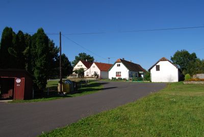
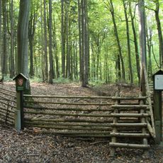
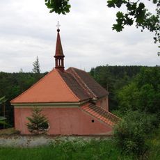
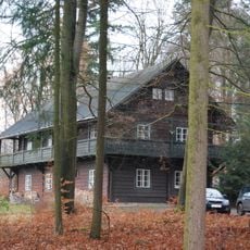
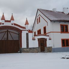
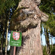
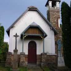
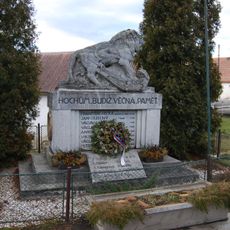
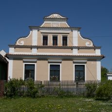
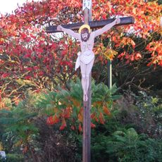
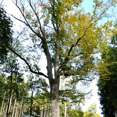
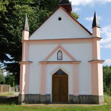
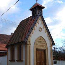
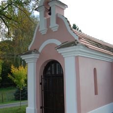
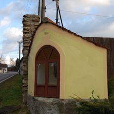
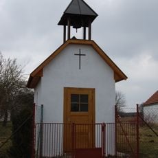
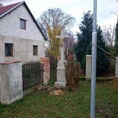
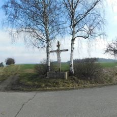
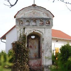
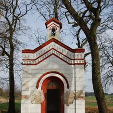
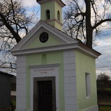
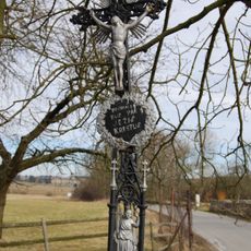
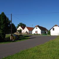
Jetětice, village in Písek District of South Bohemian region
Location: Písek District
Location: správní obvod obce s rozšířenou působností Milevsko
Elevation above the sea: 447 m
Shares border with: Oslov, Podolí I, Křenovice, Květov, Temešvár, Stehlovice
Email: obec.jetetice@tiscali.cz
Website: http://jetetice.cz
GPS coordinates: 49.38603,14.29264
Latest update: March 3, 2025 04:21
Podolsko Bridge
3.5 km
Červená railway bridge (the old)
2.9 km
Rukávečská obora
2.8 km
Rukávečská obora
3.2 km
St. Bartolomews Church (Červená)
4.1 km
Tyrolský dům
3.8 km
Červený Újezdec Castle
5.2 km
Mostek přes potok v Rukávečské oboře
3.3 km
Chapel of Saint John of Nepomuk (Stehlovice)
2.4 km
Památník turistické stezky jihovýchodně od Květova
3.9 km
Chapel of Saint Hubertus
3.8 km
Dub u Květovské obory
2.2 km
Chapel of the Nativity of the Virgin Mary
113 m
World War I memorial in Podolí
3.1 km
Usedlost čp. 3
4.7 km
Kříž
4.1 km
Květovský buk
1.8 km
Chapel of Saint Joseph
3.9 km
Chapel of Our Lady Queen
3.2 km
Chapel of Saint John of Nepomuk
4.3 km
Chapel of Saint Florian
3.1 km
Chapel of Our Lady of Lourdes
1.6 km
Kříž u nádraží Vlastec
5.5 km
Kříž mezi Jamným a Temešvárem
4.8 km
Chapel of Saint John of Nepomuk
5.2 km
Chapel of Saint Rosalia
5.1 km
Kaple v Květově
4.6 km
Kříž v Květově na křižovatce
4.6 kmReviews
Visited this place? Tap the stars to rate it and share your experience / photos with the community! Try now! You can cancel it anytime.
Discover hidden gems everywhere you go!
From secret cafés to breathtaking viewpoints, skip the crowded tourist spots and find places that match your style. Our app makes it easy with voice search, smart filtering, route optimization, and insider tips from travelers worldwide. Download now for the complete mobile experience.
A unique approach to discovering new places❞
— Le Figaro
All the places worth exploring❞
— France Info
A tailor-made excursion in just a few clicks❞
— 20 Minutes