
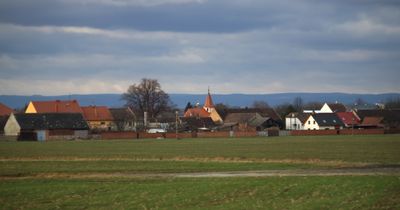
Císařov, village in Přerov District of Olomouc region
Location: Přerov District
Location: správní obvod obce s rozšířenou působností Přerov
Elevation above the sea: 201 m
Shares border with: Rokytnice, Troubky, Citov, Brodek u Přerova
Email: ou@cisarov.cz
Website: http://cisarov.cz
GPS coordinates: 49.46605,17.35263
Latest update: March 8, 2025 12:32
Pivovar s vodním mlýnem
4 km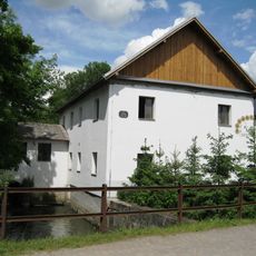
Watermill in Citov
2.5 km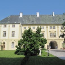
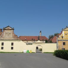
Rokytnice Castle
2.9 km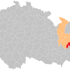
Přerov (klein district)
5 km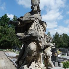
Socha svatého Amanda
3.9 km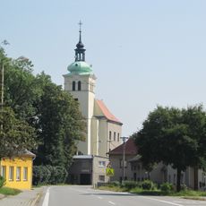
Church of Saint James the Greater
2.9 km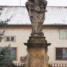
Socha svaté Anny Samétřetí
351 m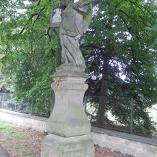
Socha anděla
5.2 km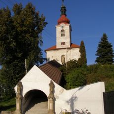
Church of the Assumption of the Virgin Mary
3.8 km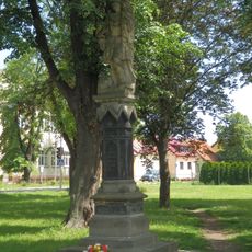
Socha svatého Floriána
3.8 km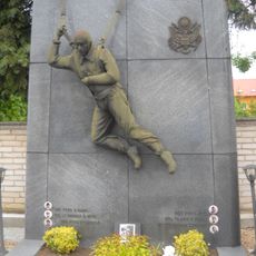
Pomník americkým letcům
3.9 km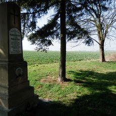
Pomník bojiště z roku 1866
4.6 km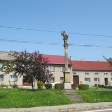
Sloup se sochou svatého Františka Xaverského
2.7 km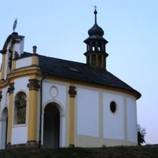
Chapel of Saint Francis Xavier
3.5 km
Usedlost čp. 45
354 m
Church of Saints Cyril and Methodius
4.2 km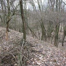
Hradiště
4.2 km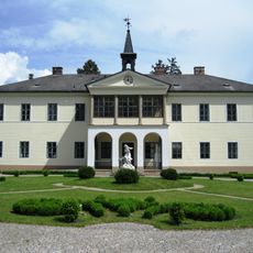
Citov
1.9 km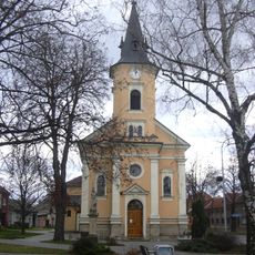
Church of Saint John the Baptist
2.2 km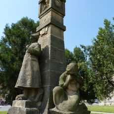
Pomník obětem 1. světové války
3.8 km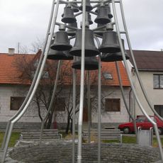
Zvonkohra na Masarykově náměstí v Brodku u Přerova
2.2 km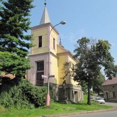
Chapel of the Exaltation of the Holy Cross
4.7 km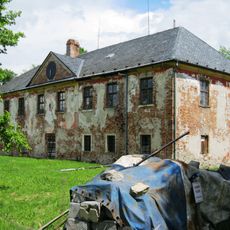
Zámek Nenakonice
5.1 km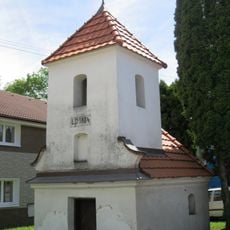
Chapel of Saint Anne
4.7 km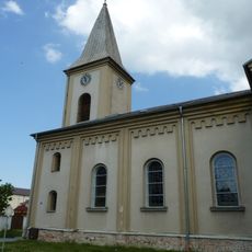
Church of Saint Margaret
3.8 km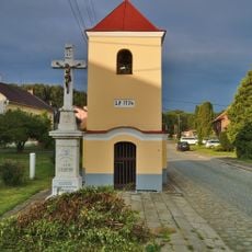
Chapel of Saint John of Nepomuk
4.9 km
Chapel of Saint John of Nepomuk
4.2 km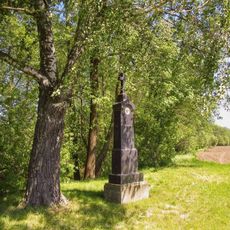
Kříž severně od Věrovan u silnice
5.4 kmReviews
Visited this place? Tap the stars to rate it and share your experience / photos with the community! Try now! You can cancel it anytime.
Discover hidden gems everywhere you go!
From secret cafés to breathtaking viewpoints, skip the crowded tourist spots and find places that match your style. Our app makes it easy with voice search, smart filtering, route optimization, and insider tips from travelers worldwide. Download now for the complete mobile experience.

A unique approach to discovering new places❞
— Le Figaro
All the places worth exploring❞
— France Info
A tailor-made excursion in just a few clicks❞
— 20 Minutes