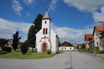
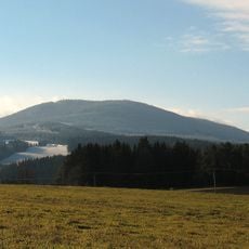
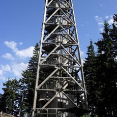
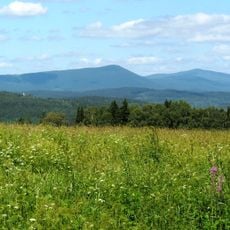
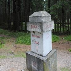
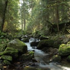
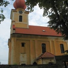
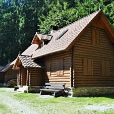
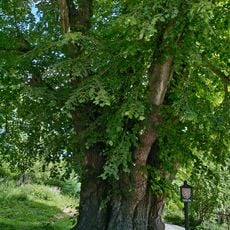
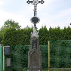
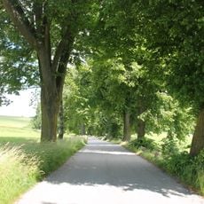
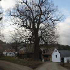
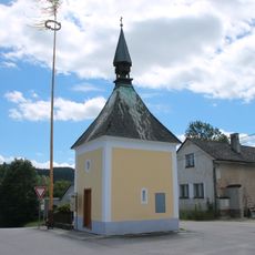
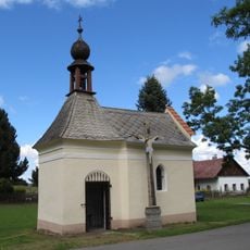
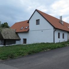
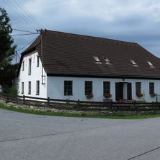
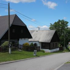
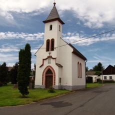
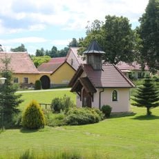
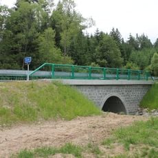
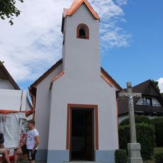
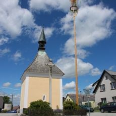
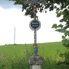
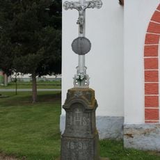
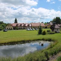
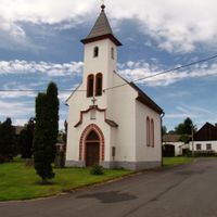
Buk, village in Prachatice District, Czech Republic
Location: Prachatice District
Location: administrative district of the municipality with expanded powers Vimperk
Elevation above the sea: 823 m
Shares border with: Horní Vltavice, Kratušín, Drslavice, Vimperk, Volary, Záblatí, Radhostice, Svatá Maří, Šumavské Hoštice
Email: obec.buk@tiscali.cz
Website: http://obecbuk.cz
GPS coordinates: 49.03800,13.84516
Latest update: March 3, 2025 22:28
Kubany
5.6 km
Rozhledna Boubín
5.6 km
Milešický prales
5.9 km
Křížový smrk
5.9 km
Čertova stráň
4.2 km
Church of Saints Philip and James
2.1 km
Poušť
3.5 km
Boubínský zámeček
6.2 km
Lípa u Machova Mlýna
1.5 km
Kříž v Buku
241 m
Alej v Buku
381 m
Lípa širokolistá
4.7 km
Chapel of Saint John of Nepomuk
2.9 km
Kaple Panny Marie
2.7 km
Chapel of Our Lady of Mount Carmel
2 km
Usedlost čp. 1
3.6 km
Usedlost čp. 5
134 m
Usedlost čp. 25
1.6 km
Usedlost čp. 7
2.7 km
Usedlost čp. 6
2.7 km
Chapel of Our Lady of Sorrows
14 m
Chapel of St. Cyril and Methodius
1.4 km
Kaple ve Vyšovatce
1.1 km
Road bridge over the Naháč between Buk and Svatá Maří
1.5 km
Kříž u kaple ve Vícemilech
1.4 km
Kříž u kaple v Trhoníně
2.7 km
Kříž u rozcestí hlavní silnice u Buku
902 m
Kříž u kaple Panny Marie Sedmibolestné v Buku
19 mReviews
Visited this place? Tap the stars to rate it and share your experience / photos with the community! Try now! You can cancel it anytime.
Discover hidden gems everywhere you go!
From secret cafés to breathtaking viewpoints, skip the crowded tourist spots and find places that match your style. Our app makes it easy with voice search, smart filtering, route optimization, and insider tips from travelers worldwide. Download now for the complete mobile experience.
A unique approach to discovering new places❞
— Le Figaro
All the places worth exploring❞
— France Info
A tailor-made excursion in just a few clicks❞
— 20 Minutes