
Daskabát, village in Olomouc District of Olomouc region
Location: Olomouc District
Location: administrative district of Czech municipality with expanded powers Olomouc
Elevation above the sea: 337 m
Shares border with: VÚ Libavá, Velký Újezd, Přáslavice, Tršice, Doloplazy
Email: ou.daskabat@quick.cz
Website: http://obecdaskabat.cz
GPS coordinates: 49.57855,17.44728
Latest update: March 11, 2025 18:30

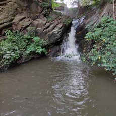
Tršický vodopád
4.1 km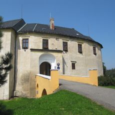
Tršice Castle
4.1 km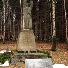
Monumento Zákřovský Žalov
5.6 km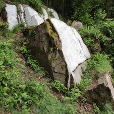
Bílý kámen
4.6 km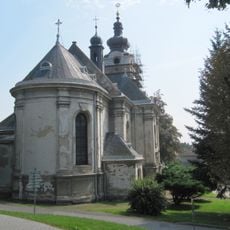
Church of the Nativity of the Virgin Mary
4.3 km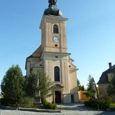
Church of Saint James the Greater
2.6 km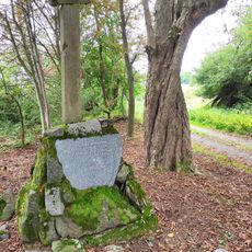
Kamenný kříž
5.5 km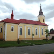
Church of Saints Cyril and Methodius
2.6 km
Windmill in Lazníčky
3.9 km
Kostel Nejsvětější Trojice
5.9 km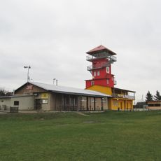
Rozhledna Božka
4.4 km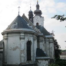
Římskokatolická farnost Tršice
4.3 km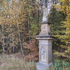
Kamenný kříž v Kyjanicích
5.4 km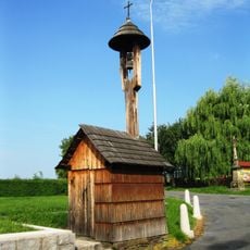
Cultural monuments in Zákřov
3.6 km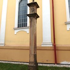
Boží muka
2.6 km
Žába
4.3 km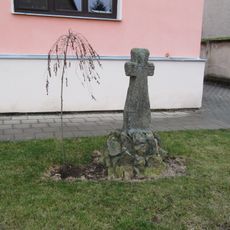
Smírčí kříž
5 km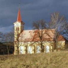
Church of Sacred Heart
6.3 km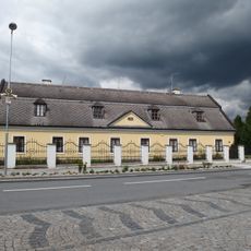
Přepřahací poštovní stanice Velký Újezd
2.4 km
Vrchnostenský špitál
2.6 km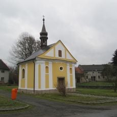
Chapel of Saint Praxedes
5.5 km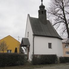
Chapel of Saint Sebastian
4.3 km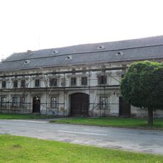
Usedlost čp. 41
4.4 km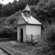
Kaplička v Hlubočkách v Mariánském Údolí
5.6 km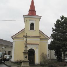
Chapel of Saint Francis of Assisi
4.9 km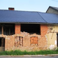
Usedlost čp. 18
4.7 km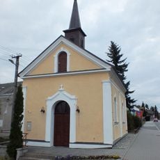
Chapel of Saint John of Nepomuk
267 m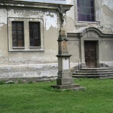
Pamětní kříž před kostelem Narození Panny Marie v Tršicích
4.3 kmReviews
Visited this place? Tap the stars to rate it and share your experience / photos with the community! Try now! You can cancel it anytime.
Discover hidden gems everywhere you go!
From secret cafés to breathtaking viewpoints, skip the crowded tourist spots and find places that match your style. Our app makes it easy with voice search, smart filtering, route optimization, and insider tips from travelers worldwide. Download now for the complete mobile experience.

A unique approach to discovering new places❞
— Le Figaro
All the places worth exploring❞
— France Info
A tailor-made excursion in just a few clicks❞
— 20 Minutes