
Trpín, village in Svitavy District of Pardubice region
Location: Svitavy District
Location: správní obvod obce s rozšířenou působností Polička
Elevation above the sea: 598 m
Shares border with: Bystré, Olešnice, Rovečné, Velké Tresné, Svojanov, Kněževes, Hartmanice
Email: obec.trpin@worldonline.cz
Website: http://trpin.cz
GPS coordinates: 49.59525,16.40165
Latest update: March 12, 2025 19:05

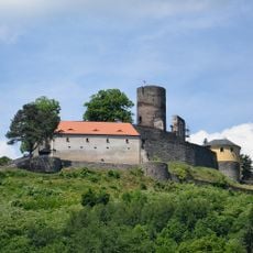
Svojanov Castle
3.6 km
Church of Saint Martin
3.5 km
Evangelical church
3.3 km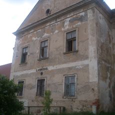
Castle Lamberk
3 km
Kavinský potok
1.2 km
V Jezdinách
2.5 km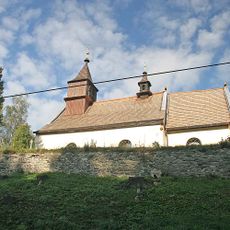
Church of Saint Nicholas
3.3 km
Nyklovický potok
1.6 km
Chapel of Saint Mary Magdalene
1.9 km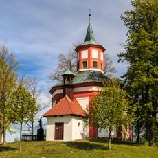
Chapel of Saint John of Nepomuk
4.2 km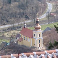
Church of Saints Peter and Paul (Svojanov)
3.2 km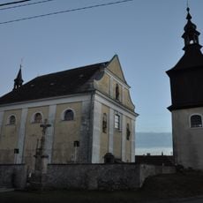
Church of Saint Wenceslaus (Trpín)
319 m
Evangelická fara v Rovečném
3.3 km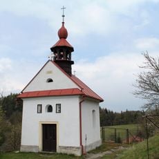
Chapel of the Assumption
2.9 km
Usedlost Kněževes čp. 17
1.7 km
Dům čp. 9
4.2 km
Chapel of Saint John of Nepomuk
4.2 km
Dům čp. 4
4.2 km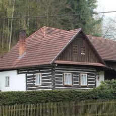
Jobova Lhota čp. 19
2.8 km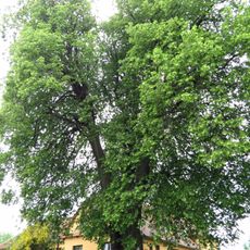
Lípa v Trpíně
121 m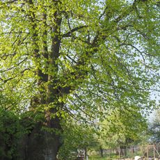
Lípa velkolistá před čp. 31
155 m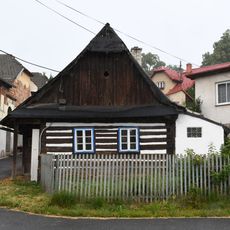
Homestead Nr. 18
2.7 km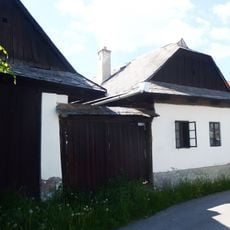
Dům čp. 8
4.3 km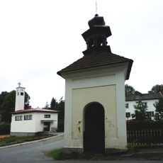
Chapel of the Exaltation of the Holy Cross
4.2 km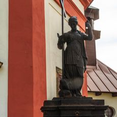
Náhrobek
4.2 km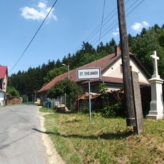
Kříž jižně od Skalského Dvoru u křižovatky
2.9 km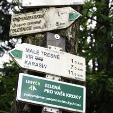
Rozcestník Tresenský potok
3.4 km
Náhrobek
4.2 kmVisited this place? Tap the stars to rate it and share your experience / photos with the community! Try now! You can cancel it anytime.
Discover hidden gems everywhere you go!
From secret cafés to breathtaking viewpoints, skip the crowded tourist spots and find places that match your style. Our app makes it easy with voice search, smart filtering, route optimization, and insider tips from travelers worldwide. Download now for the complete mobile experience.

A unique approach to discovering new places❞
— Le Figaro
All the places worth exploring❞
— France Info
A tailor-made excursion in just a few clicks❞
— 20 Minutes