North European Plain, Physiographic province in Northern Europe.
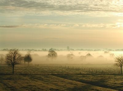
The North European Plain is a flat landscape region stretching from Belgium through Germany to Poland. The area is characterized by gentle terrain, ranging from sea level to about 200 meters in elevation.
The plain formed during the Ice Age when glaciers left behind sediments and moraines. These glacial deposits created the foundation for the flat topography that defines the landscape today.
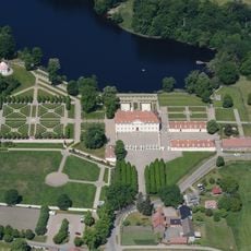
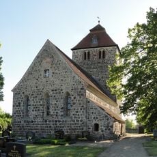
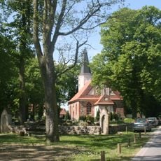
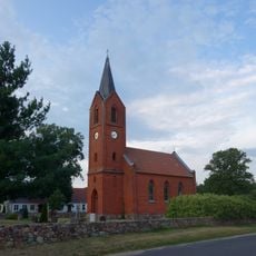
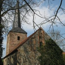
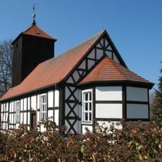
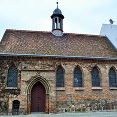
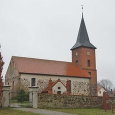
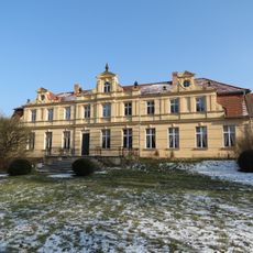
The plain is inhabited by different peoples who have preserved their traditions in architecture, crafts, and local celebrations. This diversity appears in village layouts and in how communities use and shape their landscape.
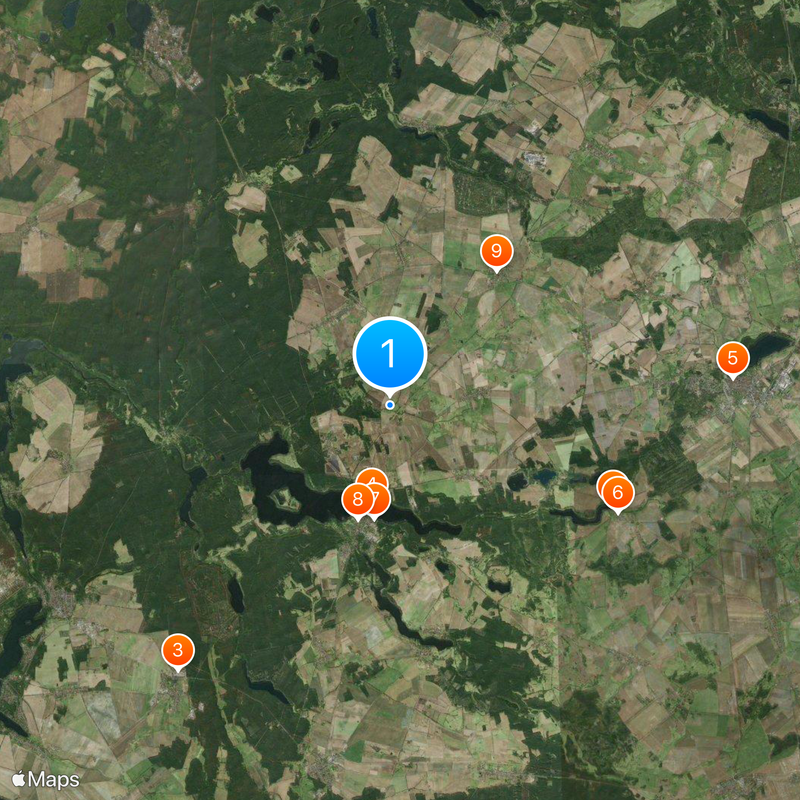
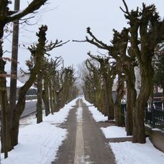
Visitors will find a largely flat landscape easy to explore on foot, by bicycle, or by car. The dense road network and regular villages throughout make flexible route planning simple and straightforward.
The region is crossed by several major rivers including the Rhine, Elbe, and Vistula that shape its drainage system. These waterways have connected the different areas and influenced trade and settlement for thousands of years.
The community of curious travelers
AroundUs brings together thousands of curated places, local tips, and hidden gems, enriched daily by 60,000 contributors worldwide.