
Bystřice pod Lopeníkem, village in Uherské Hradiště District of Zlín region
Location: Uherské Hradiště District
Location: Угерски Брод
Elevation above the sea: 365 m
Shares border with: Nezdenice, Komňa, Lopeník, Bánov
Email: obec.bystrice@quick.cz
Website: http://bystricepodlopenikem.cz
GPS coordinates: 48.97482,17.76405
Latest update: March 12, 2025 06:10

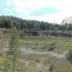
Lom Rasová
3.5 km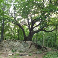
Zuvačov
2.3 km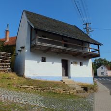
Memorial of J. A. Comenius
3.4 km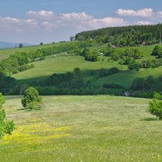
U Zvonice
4.2 km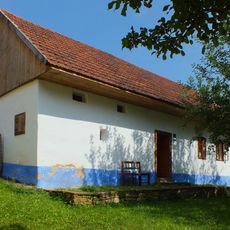
Neutering museum in Komňa
3.5 km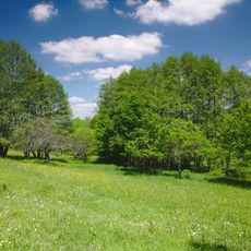
Grun
3.9 km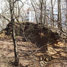
Skalky
1.7 km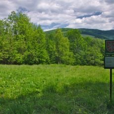
Kalábová
4.2 km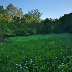
Mravenčí louka
4.3 km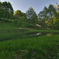
V Krátkých
4.7 km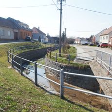
Most přes Nivničku v Bystřici pod Lopeníkem u čp. 8
363 m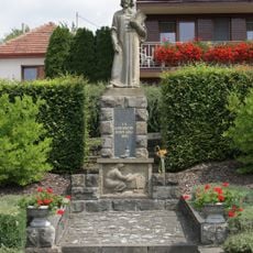
Statue of Comenius in Komňa
3.4 km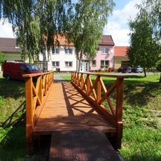
Lávka přes Nivničku v Suché Lozi proti čp. 119
3.6 km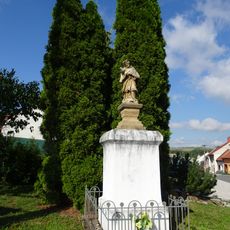
Socha svatého Jana Nepomuckého
3.8 km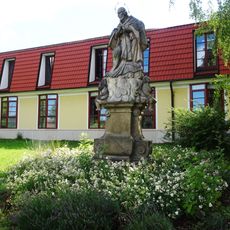
Socha svatého Jana Nepomuckého
3.9 km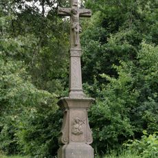
Morový hřbitov s křížem
3.6 km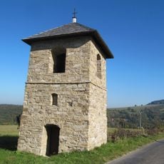
Zvonice
3.7 km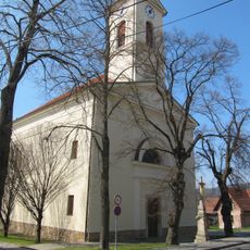
Church of Saint James the Greater
3.5 km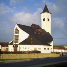
Church of Saint Ludmila
3.7 km
Špýchar usedlosti čp. 73
3.5 km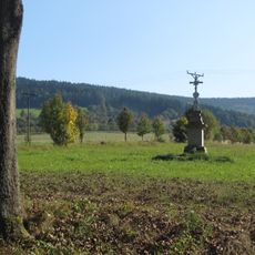
Krucifix
3.1 km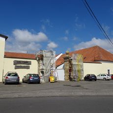
Zemědělský dvůr čp. 97
3.9 km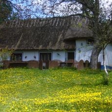
Usedlost čp. 141
4.1 km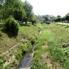
Most přes Nivničku v Suché Lozi proti čp. 26
3.5 km
Remízy u Bánova
1.8 km
Pomník padlým sovětským letcům u hlavní silnice jihovýchodně od Komňi
3.6 km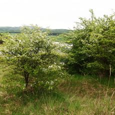
Remízy u Bánova
2.2 km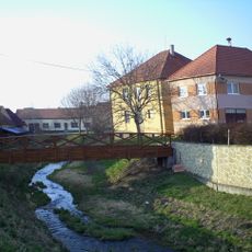
Footbridge over the Nivnička in Suchá Loz nearby the fire station
3.7 kmReviews
Visited this place? Tap the stars to rate it and share your experience / photos with the community! Try now! You can cancel it anytime.
Discover hidden gems everywhere you go!
From secret cafés to breathtaking viewpoints, skip the crowded tourist spots and find places that match your style. Our app makes it easy with voice search, smart filtering, route optimization, and insider tips from travelers worldwide. Download now for the complete mobile experience.

A unique approach to discovering new places❞
— Le Figaro
All the places worth exploring❞
— France Info
A tailor-made excursion in just a few clicks❞
— 20 Minutes