
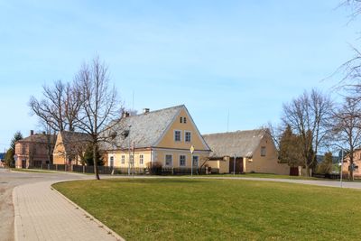
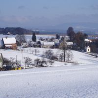
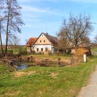
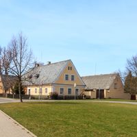
Hořičky, village in Náchod District of Hradec Králové region
Location: Náchod District
Location: správní obvod obce s rozšířenou působností Náchod
Elevation above the sea: 440 m
Shares border with: Vestec, Libňatov, Lhota pod Hořičkami, Brzice, Litoboř, Slatina nad Úpou, Mezilečí
Email: obec.horicky@quick.cz
Website: http://horicky.cz
GPS coordinates: 50.44480,15.99362
Latest update: April 15, 2025 06:37
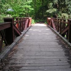
Červený most
3.5 km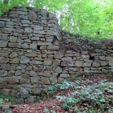
Červená Hora Castle
4.1 km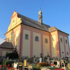
Church of the Holy Spirit
289 m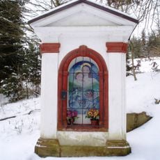
Chapel of Virgin Mary
4 km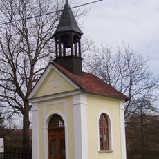
Chapel of the Assumption
2.7 km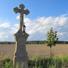
Krucifix
2.1 km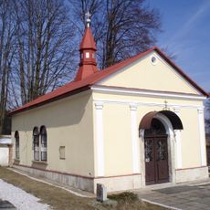
Chapel of Virgin Mary
2.2 km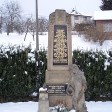
Pomnik poległych w czasie I wojny światowej w Slatinie nad Úpou
3.4 km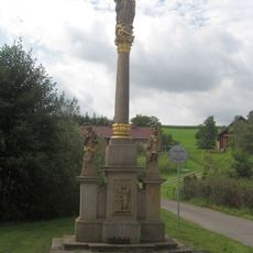
Kolumna Maryjna w Slatinie nad Úpou
3.5 km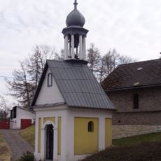
Chapel of Virgin Mary (Litoboř)
1.6 km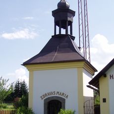
Chapel of Virgin Mary in Křižanov
1.9 km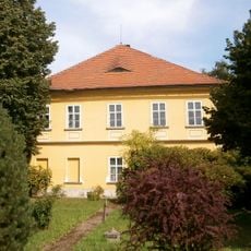
Gospodarstwo Tilschów w Mezilečí
1.2 km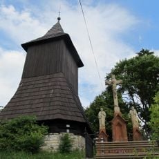
Slatinska dzwonnica
3.5 km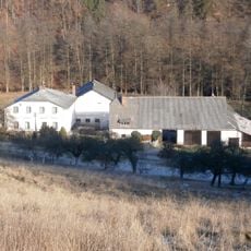
Slatinski młyn
4.1 km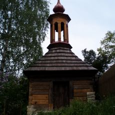
Dzwonnica w Mezilečí
1.2 km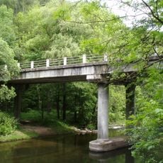
Slatinský most
4 km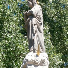
Kolumna z figurą Najświętszej Maryi Panny w Mezilečí
1.2 km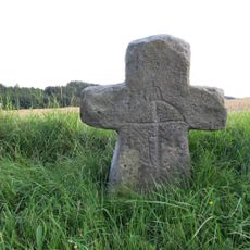
Smírčí kříž
1.4 km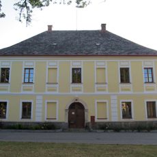
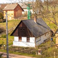
Rectory in Hořičky
281 m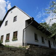
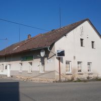
Dům čp. 46
1.7 km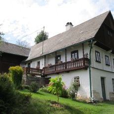
Dům Josefa Wlčka
3.2 km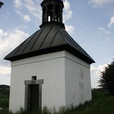
Kaple
4.1 km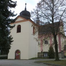
Bell tower in Hořičky
278 m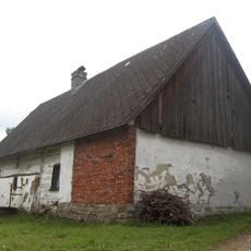
Dům čp. 89
3.3 km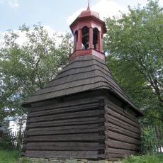
Zvonička
2.3 km
Tvrz
1.9 km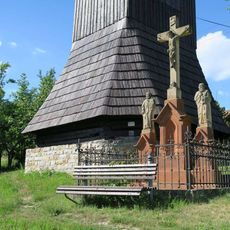
Pamětní kříž ve Slatině nad Úpou
3.5 km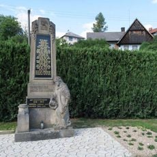
Pomník padlým ve Slatině nad Úpou
3.4 kmReviews
Visited this place? Tap the stars to rate it and share your experience / photos with the community! Try now! You can cancel it anytime.
Discover hidden gems everywhere you go!
From secret cafés to breathtaking viewpoints, skip the crowded tourist spots and find places that match your style. Our app makes it easy with voice search, smart filtering, route optimization, and insider tips from travelers worldwide. Download now for the complete mobile experience.

A unique approach to discovering new places❞
— Le Figaro
All the places worth exploring❞
— France Info
A tailor-made excursion in just a few clicks❞
— 20 Minutes