
Dyjákovice, village in Znojmo District of South Moravian region
Location: Znojmo
Location: Znojmo District
Elevation above the sea: 185 m
Shares border with: Hrádek, Velký Karlov, Hevlín, Laa an der Thaya
Email: obecdyjakovice@quick.cz
Website: http://dyjakovice.cz
GPS coordinates: 48.77191,16.30096
Latest update: March 11, 2025 13:58

Chapel of Saint Ulrich
2.5 km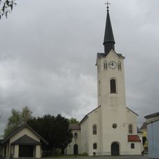
Pfarrkirche Wulzeshofen
5.9 km
Church of Saints Peter and Paul (Hrádek)
2.4 km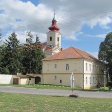
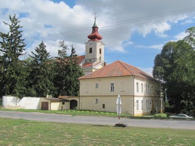
Church of Saint Michael (Dyjákovice)
170 m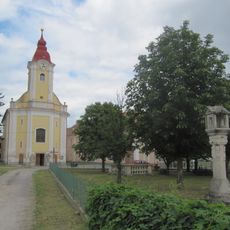
Church of the Assumption of the Virgin Mary
6.2 km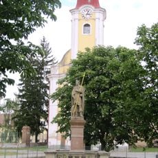
Socha svatého Rocha
6.2 km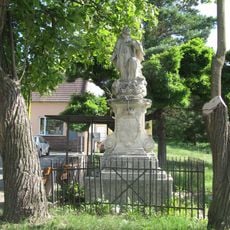
Socha svatého Jana Nepomuckého
2.4 km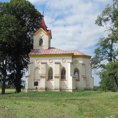
Kaple Panny Marie Lurdské
714 m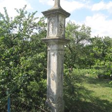
Boží muka
691 m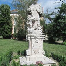
Statue of John of Nepomuk in Dyjákovice
56 m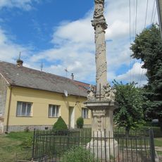
Sloup se sochou Panny Marie Immaculaty
130 m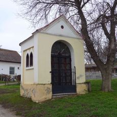
Kaple Panny Marie Matky Církve
684 m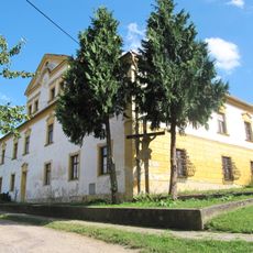
Fara
2.4 km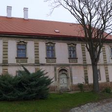
Rectory in Dyjákovice
155 m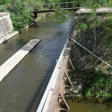
Mühlbachaquädukt
5.4 km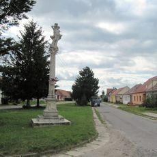
Sloup se sochou svatého Šebestiána
284 m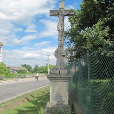
Boží muka
494 m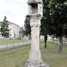
Boží muka
6.2 km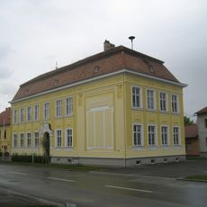
Volksschule Wulzeshofen
6 km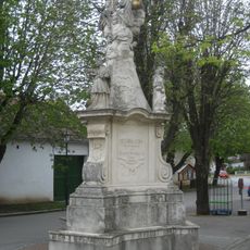
Pest-/Dreifaltigkeitssäule
6 km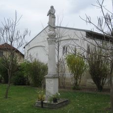
Mariensäule Maria Immaculata
6.1 km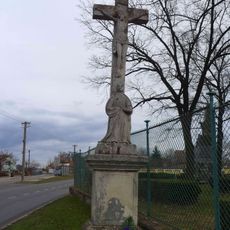
Krucifix
173 m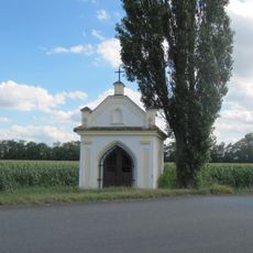
Kaple
2.7 km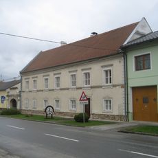
Pfarrhof
6 km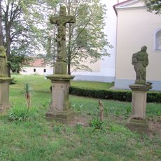
Sousoší
188 m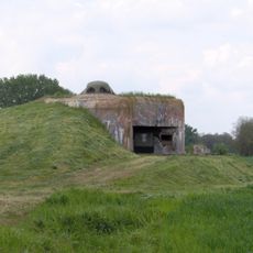
MJ-S 15 Závora casemate
2.8 km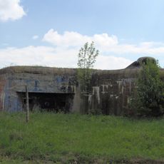
MJ-S 16 Výběžek casemate
4.1 km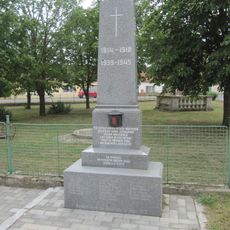
Pomník obětem válek v Hevlíně
6.2 kmVisited this place? Tap the stars to rate it and share your experience / photos with the community! Try now! You can cancel it anytime.
Discover hidden gems everywhere you go!
From secret cafés to breathtaking viewpoints, skip the crowded tourist spots and find places that match your style. Our app makes it easy with voice search, smart filtering, route optimization, and insider tips from travelers worldwide. Download now for the complete mobile experience.

A unique approach to discovering new places❞
— Le Figaro
All the places worth exploring❞
— France Info
A tailor-made excursion in just a few clicks❞
— 20 Minutes