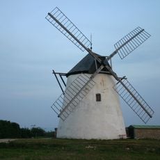
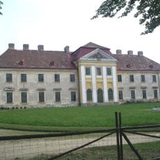
Znojmo District, Administrative district in South Moravian Region, Czech Republic.
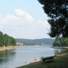
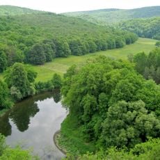
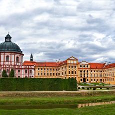
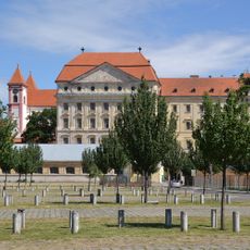
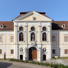
Znojmo District is an administrative region covering about 1,590 square kilometers (614 square miles) in southern Moravia, featuring rolling hills, farmland, and the winding Thaya River running through its landscape. The area comprises multiple municipalities organized into a patchwork of agricultural land and scattered villages.
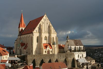
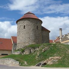
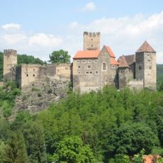
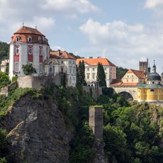
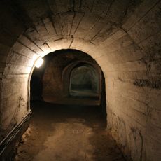
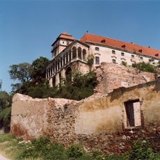
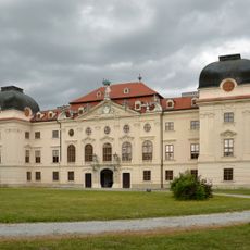
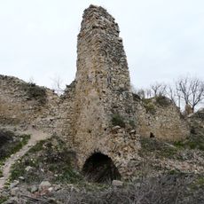
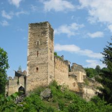
The district originated as a border region between major medieval territories and developed over centuries shaped by its proximity to what is now Austria. This location influenced settlement patterns and economic activities from early times through to the modern administrative structure.
Vineyards throughout the district show how winemaking traditions remain part of everyday rural life, with families tending their vines using methods passed down over time.
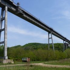
The district connects to major cities through highway I/38 toward Jihlava and highway I/53 toward Brno, with regular bus services linking its various municipalities. Visitors will find a workable network of local roads that makes exploring the region and its towns fairly straightforward.
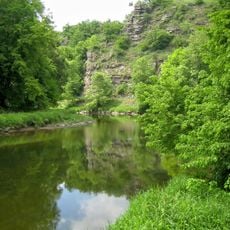
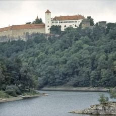
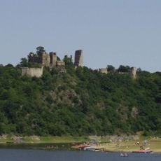
The district encompasses Podyjí National Park, which protects a river valley and rare wildlife along the Austrian border in a landscape that few travelers typically venture to explore. The park represents one of the oldest protected natural areas in the region.
The community of curious travelers
AroundUs brings together thousands of curated places, local tips, and hidden gems, enriched daily by 60,000 contributors worldwide.