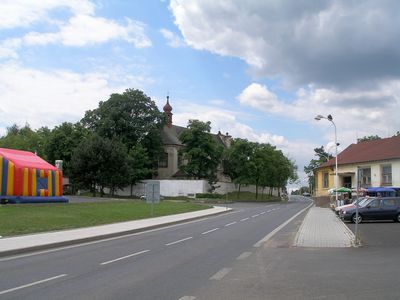
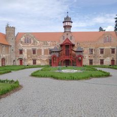
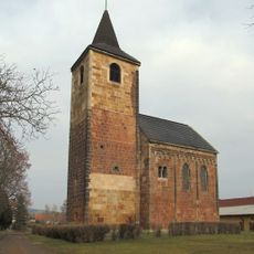
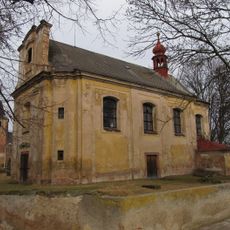
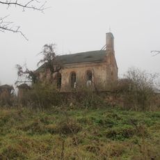
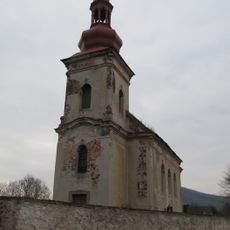
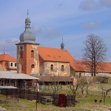
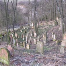
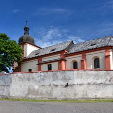
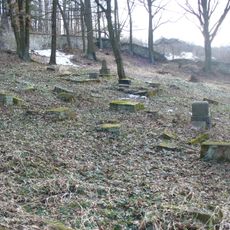
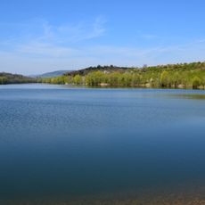
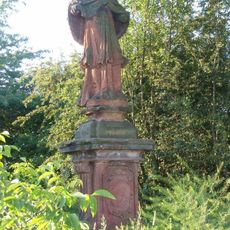
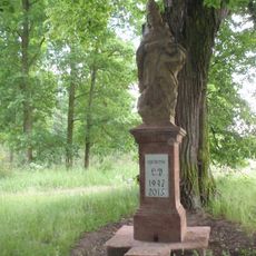
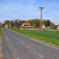
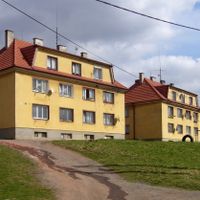
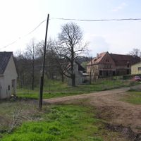
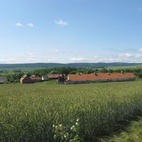
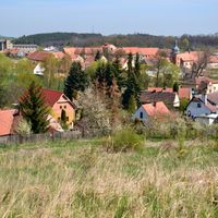
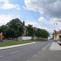
Vroutek, town in the Czech Republic
Location: Louny District
Location: správní obvod obce s rozšířenou působností Podbořany
Elevation above the sea: 332 m
Shares border with: Blatno, Valeč, Podbořany, Petrohrad, Lubenec, Nepomyšl, Kryry, Očihov
Email: podatelna@vroutek.net
Website: http://vroutek.net
GPS coordinates: 50.18009,13.37994
Latest update: March 11, 2025 09:44
Lužec Castle
3.1 km
Lina
7.5 km
Church of Saint James the Greater
35 m
Křečov Castle
7.9 km
Church of Saint Giles
6 km
Vrbina u Nové Vsi
7.8 km
Mlýnce Castle
5.1 km
Jalovcové stráně nad Vrbičkou
7 km
Dětanský chlum
5.7 km
Vochlice lookout tower
5.5 km
Skytaly Castle
5.9 km
Church of Saint John the Baptist
74 m
Římskokatolická farnost Vroutek
77 m
Church of the Assumption in Přibenice
4.7 km
Church of Saint Margaret
5.9 km
Church of Saint Martin (Vidhostice)
2.7 km
Jewish cemetery in Drahonice
4.5 km
Římskokatolická farnost Vidhostice
2.7 km
Stained glass museum
6 km
Church of Saint Wenceslaus
8.2 km
Jewish cemetery in Podbořanský Rohozec
8.4 km
Vidhostice Reservoir
2.4 km
Stronghold Vidhostice
3 km
Socha Madony
6 km
Maria column in Vroutek
210 m
Hospoda - kino
254 m
Socha svatého Jana Nepomuckého u čp. 180 ve Vroutku
3.8 km
Socha svatého Prokopa
3.1 kmReviews
Visited this place? Tap the stars to rate it and share your experience / photos with the community! Try now! You can cancel it anytime.
Discover hidden gems everywhere you go!
From secret cafés to breathtaking viewpoints, skip the crowded tourist spots and find places that match your style. Our app makes it easy with voice search, smart filtering, route optimization, and insider tips from travelers worldwide. Download now for the complete mobile experience.
A unique approach to discovering new places❞
— Le Figaro
All the places worth exploring❞
— France Info
A tailor-made excursion in just a few clicks❞
— 20 Minutes