Louny District

Log in to your account

AroundUs is a community-driven map of interesting places, built by curious explorers like you. It grows with every review, story, and photo you share.
Connect to save your favorite spots, contribute locations, and create personalized routes.
Continue with Google
Continue with Apple
Continue with X
Continue with Facebook
Continue with email
By continuing, you accept our Terms and Conditions and our Privacy Policy
Create an account
Add to collection
Map
Suggest a change
Share

Louny District, Administrative district in Ústí nad Labem Region, Czech Republic.

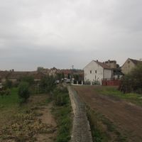
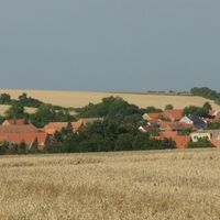
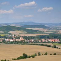
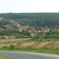
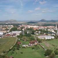
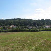
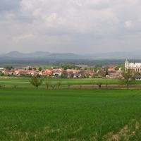
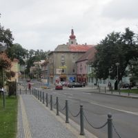
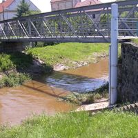
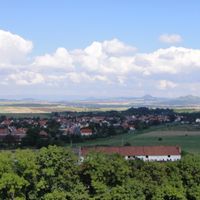
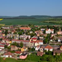
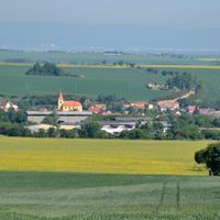
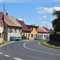
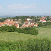
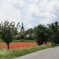
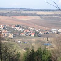
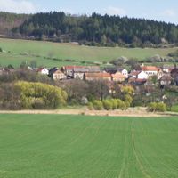
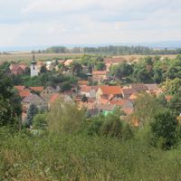
The Louny District covers an area with farmland, rolling hills, and several municipalities connected by an extensive road network. The region spans roughly 1,121 square kilometers with varying landscapes managed from administrative centers like Louny, Podbořany, and Žatec.

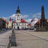
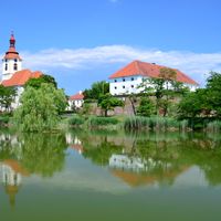
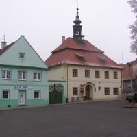
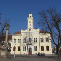
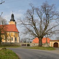
The district emerged as an administrative unit with the founding of its capital city Louny, which gained royal town status under King Ottokar II. This early recognition shaped the region's development and made Louny the center for surrounding municipalities.

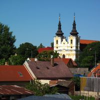
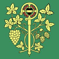
Žatec maintains a long tradition of hops cultivation deeply rooted in the region and still attracting visitors today. Across the surrounding municipalities, regular events keep local customs and craft traditions alive.

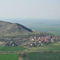
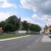
The region sits in the rain shadow of the Ore Mountains, creating specific climate conditions for farming. Visitors find administrative services spread across several centers, making different parts of the district easily accessible.

The hops cultivation methods in Žatec follow traditions that are internationally protected and represent a specialty of this district. This specialization has shaped the local economy for centuries and remains a key part of regional identity.

Location: Ústí nad Labem Region

Capital city: Louny

Shares border with: Rakovník District, Karlovy Vary District, Kladno District, Teplice District, Most District, Chomutov District, Litoměřice District, Plzeň-North District

GPS coordinates: 50.35722,13.79694

Latest update: December 8, 2025 13:42

Photos
Reviews

Visited this place? Tap the stars to rate it and share your experience / photos with the community! Try now! You can cancel it anytime.

« Louny District - Administrative district in Ústí nad Labem Region, Czech Republic » is provided by Around Us (aroundus.com). Images and texts are derived from Wikimedia project under a Creative Commons license. You are allowed to copy, distribute, and modify copies of this page, under the conditions set by the license, as long as this note is clearly visible.

Discover hidden gems everywhere you go!

From secret cafés to breathtaking viewpoints, skip the crowded tourist spots and find places that match your style. Our app makes it easy with voice search, smart filtering, route optimization, and insider tips from travelers worldwide. Download now for the complete mobile experience.

Around Us App Screenshot

A unique approach to discovering new places

Le Figaro

All the places worth exploring

France Info

A tailor-made excursion in just a few clicks

20 Minutes