Enable Location

We need your location to show you interesting places around you

Discover nearby places

Find interesting locations and hidden gems around you

Precise directions

Get accurate directions and distances to places

Your location is never shared with other users. It's only used when you tap the location button.

Žatec

Log in to your account

Start exploring — it's free

Trusted by 61,956 travelers worldwide

Continue with Google
Continue with Apple
or

We will send you a code to connect

By continuing, you accept our Terms and Conditions and our Privacy Policy

Check your inbox

We've sent a pincode in your inbox. Please enter the code below.

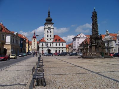
Žatec, Royal city in Louny District, Czech Republic.

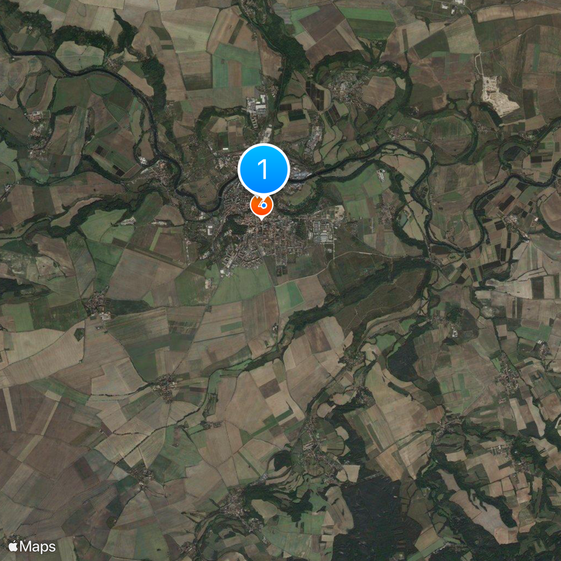
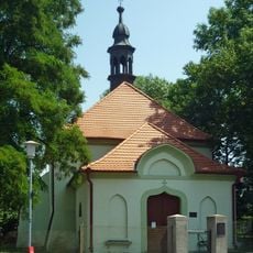
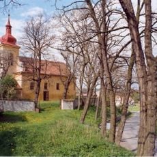
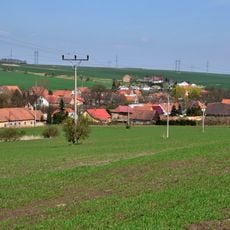
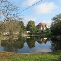
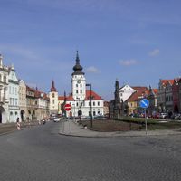
Žatec is a royal town in Louny District situated along the Ohře River. The historic town center features traditional buildings, while surrounding farmland is dedicated to hop cultivation.

The town was first mentioned in a Latin chronicle in 1004 and received royal privileges from King Ottokar II in 1265. These rights allowed it to develop as a major hop trading center.

The September Dočesná festival brings farmers, brewers, and visitors together to celebrate the hop harvest season. This tradition reflects how deeply hop cultivation is woven into the town's identity.

The town center has multiple accommodation options, restaurants, and good transport connections. Prague is about 68 kilometers to the southeast and easily accessible.

Saaz noble hops have been grown here since the 13th century, a variety known worldwide for its quality. This long tradition led to UNESCO World Heritage recognition in 2023.

The community of curious travelers

AroundUs brings together thousands of curated places, local tips, and hidden gems, enriched daily by 60,000 contributors worldwide.

Start exploring
Location
Elevation above the sea
233 m
Reference
CZ0424566985
Part of
Žatec and the Landscape of Saaz Hops
Shares border with
Měcholupy, Čeradice, Zálužice, Žiželice, Libočany, Staňkovice, Liběšice, Libořice, Podbořany, Holedeč
GPS coordinates
50.32726,13.54586
Latest update
December 20, 2025 01:48
« Žatec - Royal city in Louny District, Czech Republic » is provided by Around Us (aroundus.com). Images and texts are derived from Wikimedia project under a Creative Commons license. You are allowed to copy, distribute, and modify copies of this page, under the conditions set by the license, as long as this note is clearly visible.

Discover hidden gems everywhere you go!

From secret cafés to breathtaking viewpoints, skip the crowded tourist spots and find places that match your style. Our app makes it easy with voice search, smart filtering, route optimization, and insider tips from travelers worldwide. Download now for the complete mobile experience.

Around Us App Screenshot

A unique approach to discovering new places

Le Figaro

All the places worth exploring

France Info

A tailor-made excursion in just a few clicks

20 Minutes

Around Us
Travel Guide & Maps
Download

Send to your phone

QR Code
1

Open the camera app on your mobile.

2

Point at the QR code with your camera. A notification will appear.

3

Tap the notification to open the link.