Louny

Log in to your account

AroundUs is a community-driven map of interesting places, built by curious explorers like you. It grows with every review, story, and photo you share.
Connect to save your favorite spots, contribute locations, and create personalized routes.
Continue with Google
Continue with Apple
Continue with X
Continue with Facebook
Continue with email
By continuing, you accept our Terms and Conditions and our Privacy Policy
Create an account
Add to collection
Map
Suggest a change
Share

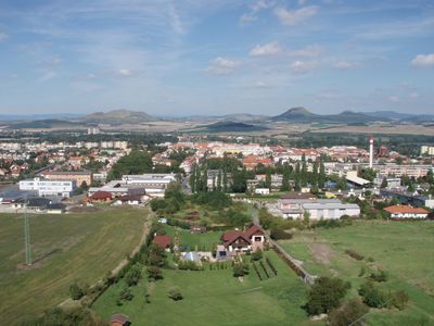
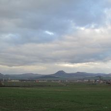
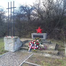
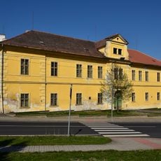
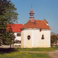
Louny, Historic town in Lower Ohře Table, Czech Republic.

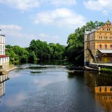
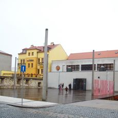
Louny sits on the Ohře River and displays well-preserved Gothic architecture throughout its streets and central areas. A 275-meter inundation bridge connects the town with the route toward Leipzig, highlighting its historical role as a major intersection point.

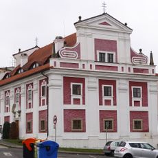
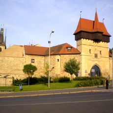
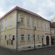
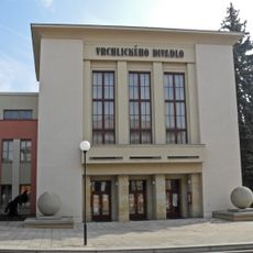
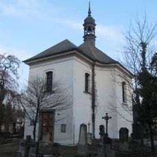
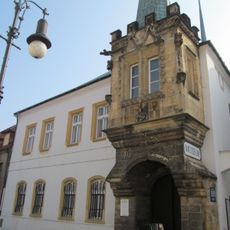
King Ottokar II established this town in the 1260s at the crossing of major trade routes, triggering rapid growth and the construction of fortifications. This strategic location made it a regional hub that continued developing over the centuries.

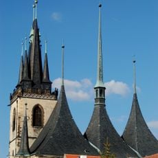
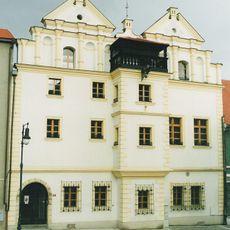
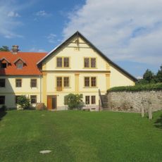
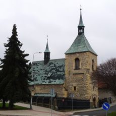
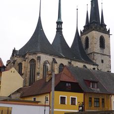
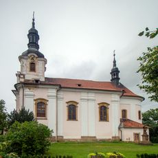
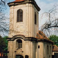
The Church of Saint Nicholas shapes the town center with its late Gothic design and distinctive roof form that echoes the surrounding landscape. The building itself, completed in the early 1500s, shows how prosperity allowed residents to invest in such impressive religious structures.

The town has three working train stations that make it a railway hub with connections to major cities and industrial centers across the region. Visitors can easily reach other parts of Bohemia from here.

The town is home to the deepest mineral spring in the Czech Republic, located about 1,200 meters (3,937 feet) below the surface. The water from this spring has properties similar to the famous mineral waters of Borzomi and Vichy, giving it therapeutic value.

Location: Louny District

Location: správní obvod obce s rozšířenou působností Louny

Inception: 12 century

Elevation above the sea: 185 m

Reference: CZ0424565971

Shares border with: Raná, Smolnice, Chlumčany, Chraberce, Černčice, Postoloprty, Cítoliby, Jimlín, Lenešice, Chožov, Blšany u Loun, Brodec, Vršovice, Líšťany, Dobroměřice

Email: podatelna@mulouny.cz

Website: http://mulouny.cz

GPS coordinates: 50.35708,13.79676

Latest update: December 20, 2025 11:55

Photos
Reviews

Visited this place? Tap the stars to rate it and share your experience / photos with the community! Try now! You can cancel it anytime.

Administrative divisions
« Louny - Historic town in Lower Ohře Table, Czech Republic » is provided by Around Us (aroundus.com). Images and texts are derived from Wikimedia project under a Creative Commons license. You are allowed to copy, distribute, and modify copies of this page, under the conditions set by the license, as long as this note is clearly visible.

Discover hidden gems everywhere you go!

From secret cafés to breathtaking viewpoints, skip the crowded tourist spots and find places that match your style. Our app makes it easy with voice search, smart filtering, route optimization, and insider tips from travelers worldwide. Download now for the complete mobile experience.

Around Us App Screenshot

A unique approach to discovering new places

Le Figaro

All the places worth exploring

France Info

A tailor-made excursion in just a few clicks

20 Minutes