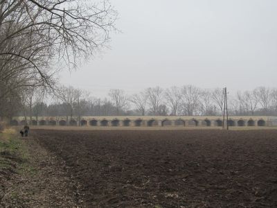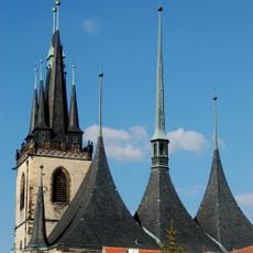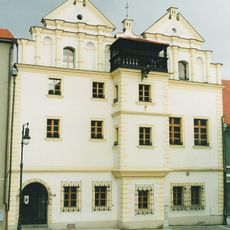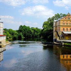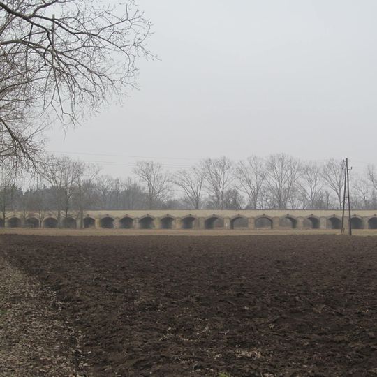
Inundation bridge in Louny, Foreshore bridge near Louny, Czech Republic
The Inundation Bridge in Louny is a masonry bridge built of sandstone and opal blocks on a wide arc plan. It is 272 metres long, eight metres wide and seven metres high to the parapet, with forty one-metre-wide pillars linked by barrel vaults spanning six metres. Above each arch a gutter drains the roadway.
A first flood bridge over the meadows between Louny and Dobroměřice was probably built in the early 16th century; a stone replacement was erected in 1543–1544 under miller Jakub of Litoměřice, and its roadway was paved in 1562. The present bridge was built in connection with the Napoleonic Wars to secure the army's movement along the road to Leipzig: the first six arches were completed in 1804, most of the remaining 36 by 1816, and the final form was reached in 1863.
The bridge lies on the old land route from Prague to Most and on to Saxony, and the suburb beyond the Ohře is still called Benátky (Venice). The first written mention of a bridge over the river dates from 1295, when the Louny widow Mečka left her farmstead in Dobroměřice to the town to fund repairs of the wooden bridge. The stone flood bridge was paved in 1562 and repaired and widened in 1585–1587 with stone from quarries near Lipenec.
The bridge is easy to access via road III/25013, with the surrounding area being flat and straightforward to navigate. Visitors should bring water on warm days and pay attention to local weather conditions.
At 272 metres, it is the longest structure of its kind in the Czech Republic. Above each of the forty arches sits a stone gutter, or gargoyle, that drains the roadway. The bridge was listed as a cultural monument in 1964.
The community of curious travelers
AroundUs brings together thousands of curated places, local tips, and hidden gems, enriched daily by 94,482 contributors worldwide.