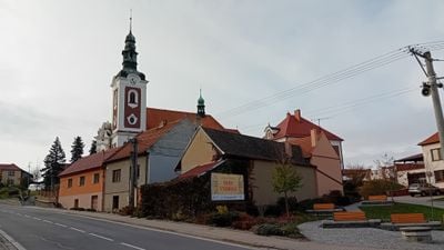
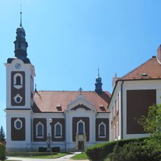
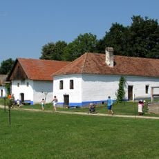
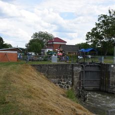
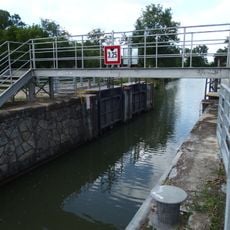
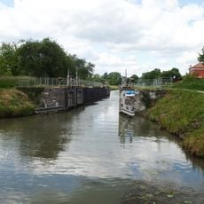
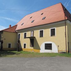
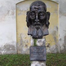
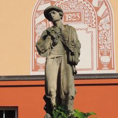
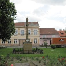
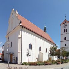
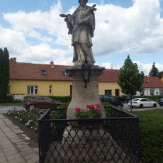
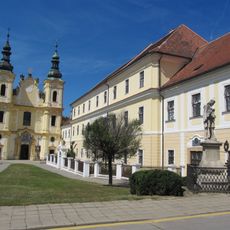
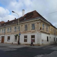
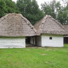
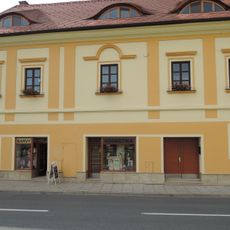
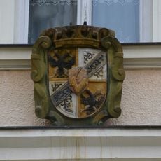
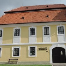
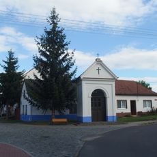
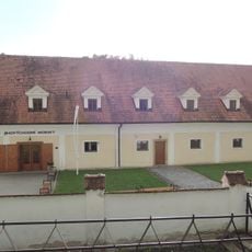
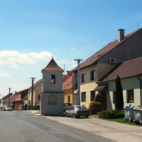
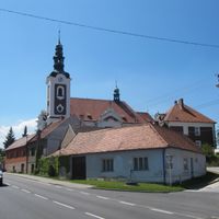
Vnorovy, village in Hodonín District of South Moravian region
Location: Мораву
Location: Hodonín District
Elevation above the sea: 182 m
Shares border with: Strážnice, Kněždub, Kozojídky, Žeraviny, Veselí nad Moravou, Bzenec
Email: obec@vnorovy.cz
Website: http://vnorovy.cz
GPS coordinates: 48.93097,17.35050
Latest update: March 6, 2025 12:22
Strážnice Chateau
3.8 km
Church of Saint Elisabeth of Thuringia
294 m
Synagogue in Strážnice
3.9 km
Church of the Assumption
4.4 km
Chain bridge in Strážnice
3.8 km
Jewish cemetery in Strážnice
3.9 km
Plavební komora Vnorovy II
1.9 km
Muzeum vesnice jihovýchodní Moravy
4.2 km
Plavební komora Vnorovy I
1.7 km
Plavební komora Strážnice I
3.3 km
Plavební komora Strážnice II
3.5 km
Průžkův mlýn
4.4 km
Pomník Jana Amose Komenského za kostelem Nanebevzetí ve Strážnici
4.4 km
Socha vinaře
4.1 km
Maria column in Strážnice
4.3 km
Church of Saint Martin
4.3 km
Socha Svatého Jana Nepomuckého ve Strážnici na Piaristickém náměstí
4.4 km
Statue of Comenius in Strážnice
4.2 km
Piarist college
4.4 km
Socha svatého Floriána
1.3 km
Dům Abrahama Siebenscheina
4.2 km
Socha svatého Jana Nepomuckého
399 m
Usedlost čp. 12 z Vyškovce
4.2 km
Dům čp. 478
4.3 km
Rectory in Strážnice
4.3 km
Dům čp. 486
4.2 km
Chapel of Virgin Mary
1.4 km
Pivovar
4.1 kmReviews
Visited this place? Tap the stars to rate it and share your experience / photos with the community! Try now! You can cancel it anytime.
Discover hidden gems everywhere you go!
From secret cafés to breathtaking viewpoints, skip the crowded tourist spots and find places that match your style. Our app makes it easy with voice search, smart filtering, route optimization, and insider tips from travelers worldwide. Download now for the complete mobile experience.
A unique approach to discovering new places❞
— Le Figaro
All the places worth exploring❞
— France Info
A tailor-made excursion in just a few clicks❞
— 20 Minutes