
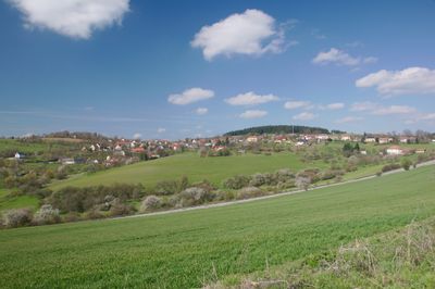
Rozseč nad Kunštátem, village in Blansko District of South Moravian region
Location: obvod obce s rozšířenou působností Boskovice
Location: Blansko District
Elevation above the sea: 628 m
Shares border with: Kunštát, Rozsíčka, Tasovice, Makov, Petrov, Louka
Email: obec@rozsec.cz
Website: http://rozsec.cz
GPS coordinates: 49.52443,16.46306
Latest update: March 2, 2025 23:02
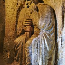
The Cave of the Blaník Knights
3.6 km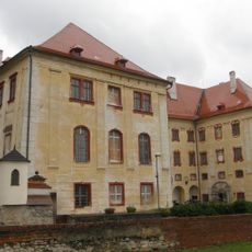
Kunštát Castle
4.2 km
Burianova rozhledna
3.8 km
Louka
2.4 km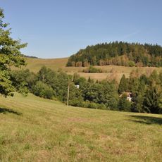
Prírodný park Halasovo Kunštátsko
3.7 km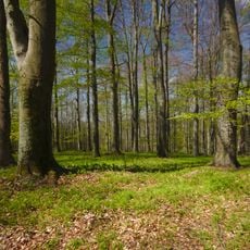
Loucká Obora
3 km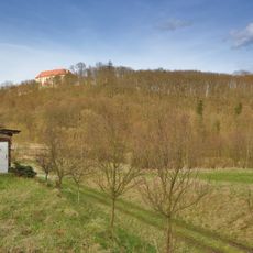
Kunštátská obora
4.4 km
Cukl a Rozsečské rašeliniště
1.1 km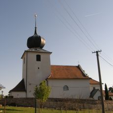
Church of Saint Mary Magdalene
3 km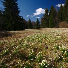
Ploník (nature reserve)
4.3 km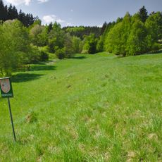
Louky pod Kulíškem
2.4 km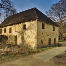
Vodní mlýn
4.1 km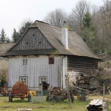
Watermill in Crhov
3.2 km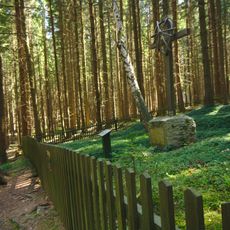
Lesní hřbitůvek Žalov
3.4 km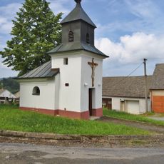
Chapel of Saint Florian
3.7 km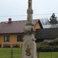
Wayside cross in Crhov
3.1 km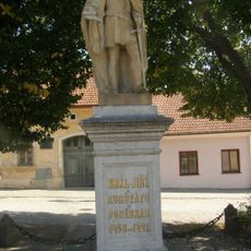
Statue of George of Poděbrady in Kunštát
4.4 km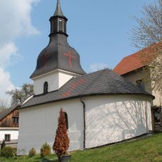
Chapel of Holy Trinity
1.6 km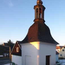
Bell tower in Rozsíčka
3.1 km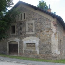
Panský pivovar v Kunštátu
4.4 km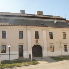
Dům čp. 99
4.4 km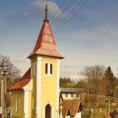
Chapel of the Nativity of the Virgin Mary
4.3 km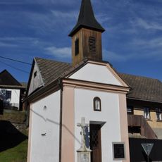
Chapel of Saints Cyril and Methodius
3.4 km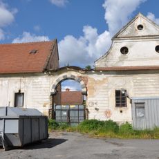
Podzámecký panský dvůr
4.4 km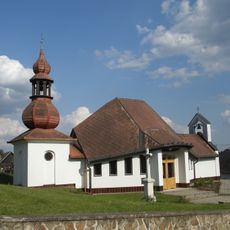
Zvonice
34 m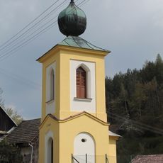
Chapel of Saints Peter and Paul
2.2 km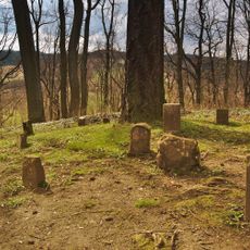
Psí hřbitov
4.3 km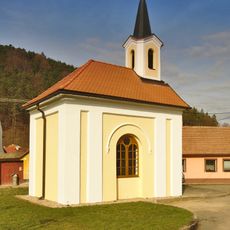
Chapel of Our Lady of the Snow
3.9 kmReviews
Visited this place? Tap the stars to rate it and share your experience / photos with the community! Try now! You can cancel it anytime.
Discover hidden gems everywhere you go!
From secret cafés to breathtaking viewpoints, skip the crowded tourist spots and find places that match your style. Our app makes it easy with voice search, smart filtering, route optimization, and insider tips from travelers worldwide. Download now for the complete mobile experience.

A unique approach to discovering new places❞
— Le Figaro
All the places worth exploring❞
— France Info
A tailor-made excursion in just a few clicks❞
— 20 Minutes