
Rataje, village in Tábor District of South Bohemian region
Location: Tábor District
Location: správní obvod obce s rozšířenou působností Tábor
Elevation above the sea: 410 m
Shares border with: Bernartice, Stádlec, Haškovcova Lhota, Dobronice u Bechyně, Radětice
Email: posta@ratajeobec.cz
Website: http://ratajeobec.cz
GPS coordinates: 49.35022,14.44577
Latest update: March 16, 2025 05:30
Dobronice
4.2 km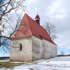
Church of the Assumption of the Virgin Mary
4.1 km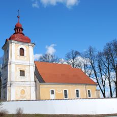
Church of Holy Trinity
62 m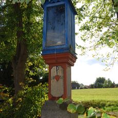
Boží muka Krista Trpitele
3.2 km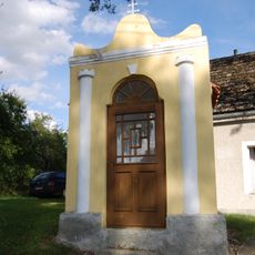
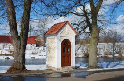
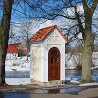
Chapel of Saint John of Nepomuk
2.8 km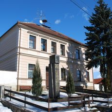
Monument to fallen soldiers in Rataje
32 m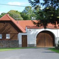
House No 45 in Rataje, Tábor District
288 m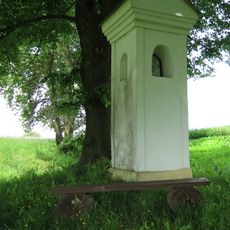
Boží muka
3.6 km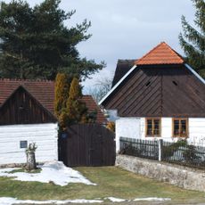
Usedlost čp. 7
3.7 km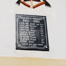
World War I memorial in Zběšice
2.4 km
Wayside cross in Stádlec, Czechia
3.2 km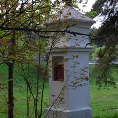
Boží muka
3.7 km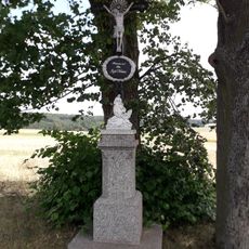
Kříž severně od Křídy
3.6 km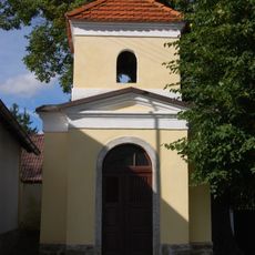
Chapel of Saint Wenceslaus
2.9 km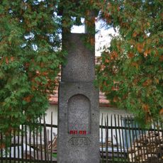
Zvonička
2.4 km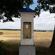
Boží muka západně od Křídy
2.9 km
Usedlost čp. 42
365 m
Kaple v Haškovcově Lhotě
2.5 km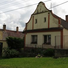
Usedlost čp. 9
145 m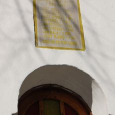
World War I memorial in Staré Sedlo
2.5 km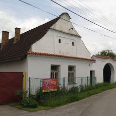
Usedlost čp. 74
3.3 km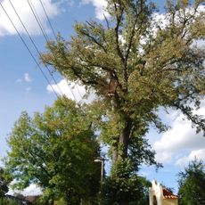
Srlínská lípa
2.8 km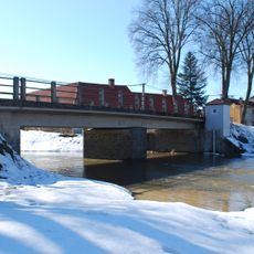
Most přes Smutnou v Ratajích
305 m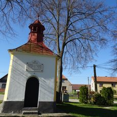
Kaple v Křídě
3.4 km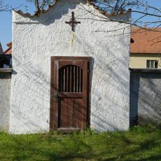
Výklenková kaplička v Haškovcově Lhotě u čp. 15
2.5 km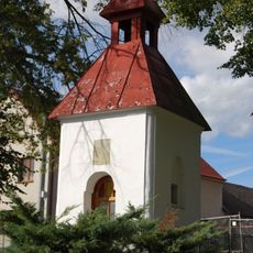
Chapel in Staré Sedlo
2.5 km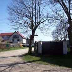
Kříž v Srlíně u rozcestí
2.9 km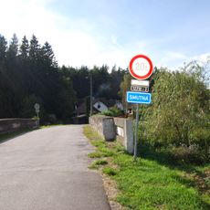
Most silnice III/12210 přes Smutnou v Srlíně
2.5 kmReviews
Visited this place? Tap the stars to rate it and share your experience / photos with the community! Try now! You can cancel it anytime.
Discover hidden gems everywhere you go!
From secret cafés to breathtaking viewpoints, skip the crowded tourist spots and find places that match your style. Our app makes it easy with voice search, smart filtering, route optimization, and insider tips from travelers worldwide. Download now for the complete mobile experience.

A unique approach to discovering new places❞
— Le Figaro
All the places worth exploring❞
— France Info
A tailor-made excursion in just a few clicks❞
— 20 Minutes