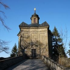
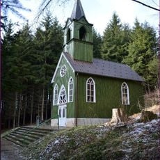
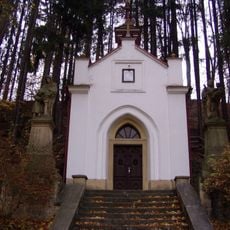
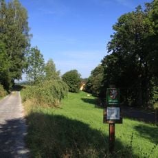
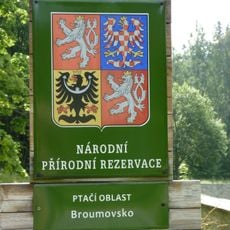
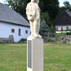
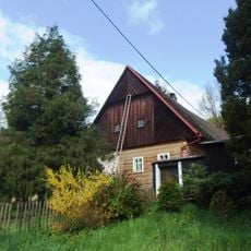
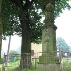
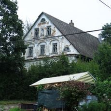
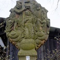
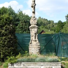
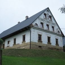
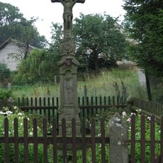
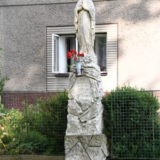
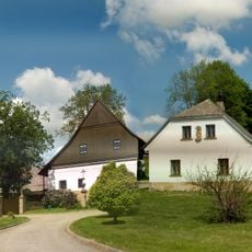
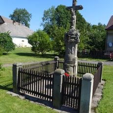
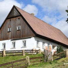
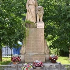
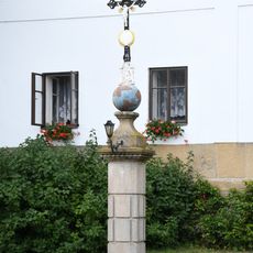
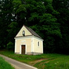
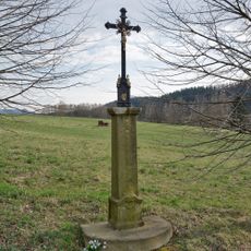
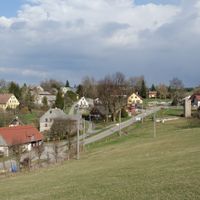
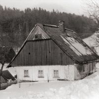
Suchý Důl, village in Náchod District of Hradec Králové region
Location: Náchod District
Location: správní obvod obce s rozšířenou působností Náchod
Elevation above the sea: 489 m
Website: http://www.suchydul.cz/
Shares border with: Křinice, Machov, Božanov, Police nad Metují, Martínkovice
Email: obec@suchydul.cz
Website: http://suchydul.cz
GPS coordinates: 50.54011,16.26546
Latest update: March 12, 2025 03:34
Hvězda chapel
3 km
Ticháčkova kaple
777 m
Supí koš
2.8 km
Chapel of Our Lady of Lourdes
610 m
Šafránová stráň
903 m
Ptačí oblast Broumovsko
2.1 km
Barešova lípa
584 m
Jansův kříž
1 km
Nemejtův kříž
717 m
Soubor soch Vambeřické cesty
1.3 km
Statue of John of Nepomuk
59 m
Sculpture of Crucifixion of Christ in Hlavňov
1.5 km
Peasants memorial in Suchý Důl
117 m
Usedlost čp. 36 a 37
3.1 km
Statue of John of Nepomuk
1.4 km
Suchý Důl čp. 27
147 m
Statue of the Coronation of Mary
172 m
Krucifix
2.2 km
Usedlost čp. 3
524 m
Krucifix
1.4 km
Statue of Virgin Mary in Suchý Důl
96 m
Suchý Důl čp. 1, 124, 125
180 m
Wayside cross in the center of Suchý Důl
116 m
Usedlost čp. 28
95 m
World Wars memorial in Suchý Důl
29 m
Wayside cross in front of homestead No. 1
156 m
Chapel of Saint Anna
2.9 km
Kříž u Trhovice
377 mReviews
Visited this place? Tap the stars to rate it and share your experience / photos with the community! Try now! You can cancel it anytime.
Discover hidden gems everywhere you go!
From secret cafés to breathtaking viewpoints, skip the crowded tourist spots and find places that match your style. Our app makes it easy with voice search, smart filtering, route optimization, and insider tips from travelers worldwide. Download now for the complete mobile experience.
A unique approach to discovering new places❞
— Le Figaro
All the places worth exploring❞
— France Info
A tailor-made excursion in just a few clicks❞
— 20 Minutes