
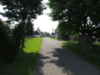
Rudolice v Horách, part of Hora Svaté Kateřiny in Most District
Location: Hora Svaté Kateřiny
Elevation above the sea: 821 m
GPS coordinates: 50.58083,13.41556
Latest update: March 16, 2025 12:34
Loučenská hornatina
3.9 km
Eduardův kámen
890 m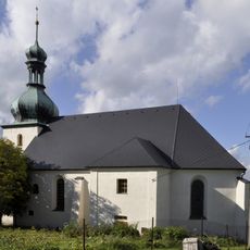
Church of Saint Catherine
3.1 km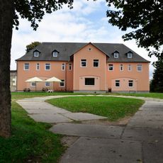
Kalek Castle
6 km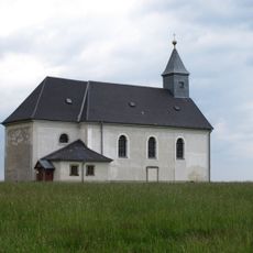
Church of Holy Trinity
609 m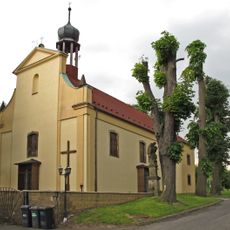
Church of Saint Michael
6 km
Buky a javory v Gabrielce
4.9 km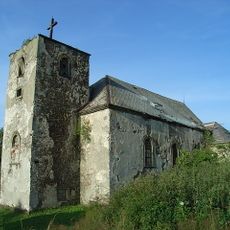
Kostel svatého Michaela archanděla
4.6 km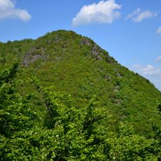
Rudolická hornatina
272 m
Pachenkov
2.9 km
Statue of Saint John of Nepomuk
4.5 km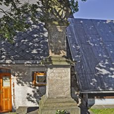
Pieta Statue in Hora Svaté Kateřiny
3.1 km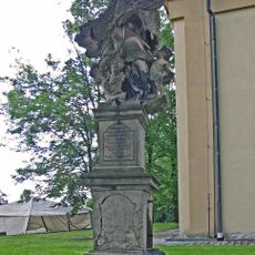
Statue of Saint John of Nepomuk
6 km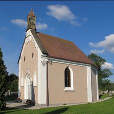
Chapel of the Resurrection of Christ
5.9 km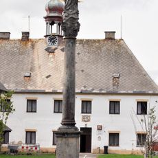
Sloup se sochou Panny Marie
3.2 km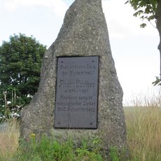
Anton-Günther-Gedenkstein in Hora Svaté Kateřiny
3.2 km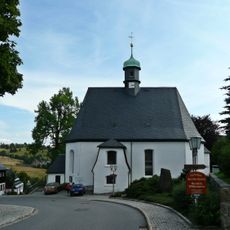
Kirche Deutschneudorf
4.2 km
Zvonička u Krušnohorského expresu v Dolní Hoře Svaté Kateřiny
3.4 km
Station 83 Grossenstein
946 m
Fortuna-Stolln
3.8 km
Hora Svaté Kateřiny compressor station
3.4 km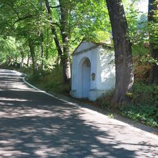
Kaplička svatého Jana Nepomuckého u silnice z Dolní Kateřiny
2.8 km
Kaplička svatého Bernarda v Dolní Hoře Svaté Kateřiny
3.4 km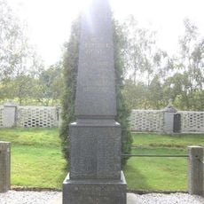
Pomník padlým v Brandově
6 km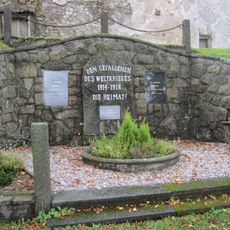
Pomník padlým z 1. a 2. světové války v Nové Vsi v Horách
4.6 km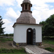
Chapel of Saint Anthony of Padua
2 km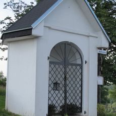
Chapel of Saint Anne
3.2 km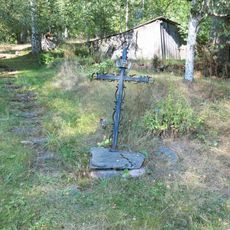
Kříž u cesty v dolní části Nové Vsi v Horách
4 kmReviews
Visited this place? Tap the stars to rate it and share your experience / photos with the community! Try now! You can cancel it anytime.
Discover hidden gems everywhere you go!
From secret cafés to breathtaking viewpoints, skip the crowded tourist spots and find places that match your style. Our app makes it easy with voice search, smart filtering, route optimization, and insider tips from travelers worldwide. Download now for the complete mobile experience.

A unique approach to discovering new places❞
— Le Figaro
All the places worth exploring❞
— France Info
A tailor-made excursion in just a few clicks❞
— 20 Minutes