Loučenská hornatina, Geomorphological subunit in Ústí nad Labem Region, Czech Republic.
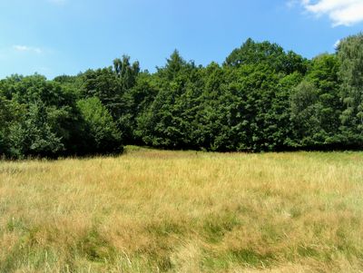
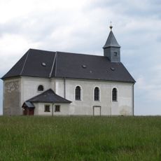
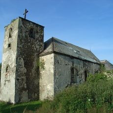
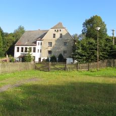
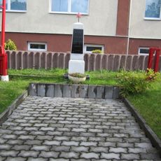
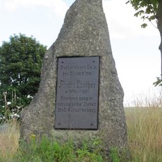
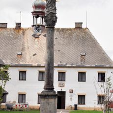
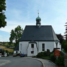
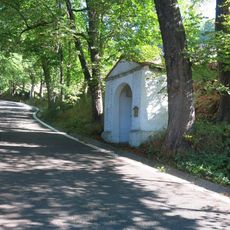
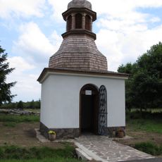
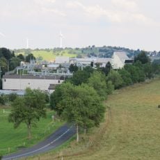
Loučenská hornatina is a geomorphological subunit in the Ústí nad Labem Region that spans multiple terrain types and distinct mountain units. The area features several reservoirs and lakes created by human activity, along with geological formations that reflect the broader structure of the Ore Mountains.
The area formed through geological processes that shaped the mountain landscape, then was deeply marked by mining activity starting in the late 1800s. Lignite extraction left lasting traces and led to the creation of artificial reservoirs that today define the region.
The area around Žatec maintains traditional hops farming passed down through generations, shaping the landscape with distinctive hop gardens. This local agriculture remains central to the regional identity and way of life.
The terrain is best explored on foot or by car, with artificial lakes serving as good reference points when navigating. Keep in mind that active and former mining areas alternate with natural landscapes, which helps when planning a route through the region.
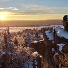
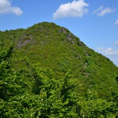
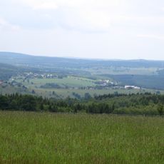
Jelení hora stands as the highest point at 1,016 meters and displays striking rock formations that set it apart from the surrounding area. This peak offers visitors a broad view of how the entire landscape is structured and connected.
Location: Ústí nad Labem Region
Part of: Ore Mountains
GPS coordinates: 50.58544,13.46978
Latest update: December 14, 2025 18:42
Eduardův kámen
3 km
Červená Jáma
2.6 km
Church of Saint Catherine
3.2 km
Church of Holy Trinity
3.7 km
Lniště Castle
2.5 km
Kostel svatého Michaela archanděla
1.5 km
Rudolická hornatina
3.7 km
Pachenkov
1.8 km
Novoveská vrchovina
2.3 km
Statue of Saint John of Nepomuk
1.7 km
Memorial of the Austro-Prussian War in Nová Ves v Horách
1.5 km
Pieta Statue in Hora Svaté Kateřiny
3.2 km
Pomník osvobození u obecního úřadu v Nové Vsi v Horách
1.4 km
Statues of Heracles and Triton in Jezeří
4.2 km
Anton-Günther-Gedenkstein in Hora Svaté Kateřiny
2.8 km
Sloup se sochou Panny Marie
3.3 km
Kirche Deutschneudorf
2.1 km
Zvonička u Krušnohorského expresu v Dolní Hoře Svaté Kateřiny
4.1 km
Fortuna-Stolln
3.6 km
Station 83 Grossenstein
2.9 km
Kříž u cesty v dolní části Nové Vsi v Horách
1.8 km
Kaplička svatého Bernarda v Dolní Hoře Svaté Kateřiny
4.1 km
Kaplička svatého Jana Nepomuckého u silnice z Dolní Kateřiny
3 km
Pomník padlým z 1. a 2. světové války v Nové Vsi v Horách
1.5 km
Chapel of Saint Anthony of Padua
3.5 km
Chapel of Saint Anne
2.7 km
Kříž u silnice v centru Nové Vsi v Horách
1.5 km
Hora Svaté Kateřiny compressor station
2.3 kmVisited this place? Tap the stars to rate it and share your experience / photos with the community! Try now! You can cancel it anytime.
Discover hidden gems everywhere you go!
From secret cafés to breathtaking viewpoints, skip the crowded tourist spots and find places that match your style. Our app makes it easy with voice search, smart filtering, route optimization, and insider tips from travelers worldwide. Download now for the complete mobile experience.
A unique approach to discovering new places❞
— Le Figaro
All the places worth exploring❞
— France Info
A tailor-made excursion in just a few clicks❞
— 20 Minutes