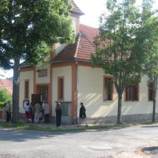
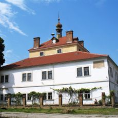
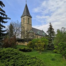
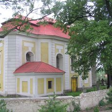
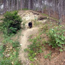
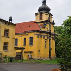
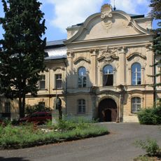
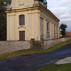
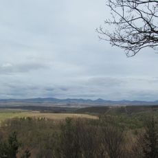
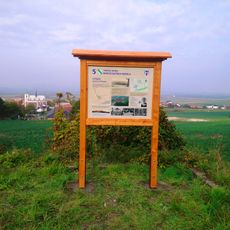
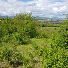
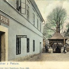
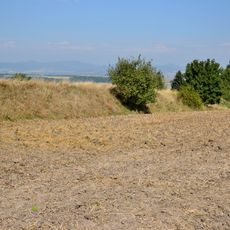
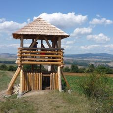
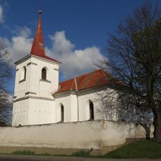
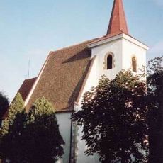
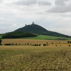
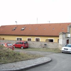
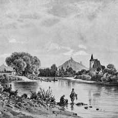
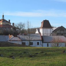
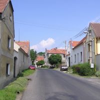
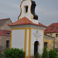
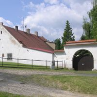
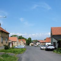
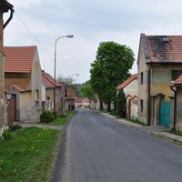
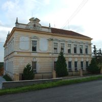
Peruc, municipality of the Czech Republic
Location: Louny District
Location: správní obvod obce s rozšířenou působností Louny
Elevation above the sea: 335 m
Shares border with: Slavětín, Křesín, Úherce, Počedělice, Koštice, Mšené-lázně, Vrbno nad Lesy, Evaň, Klobuky, Vraný, Vrbičany
Address: Oldřichova 49, 43907 Peruc 440 01 440 01
Email: info@peruc.cz
Website: http://peruc.cz
GPS coordinates: 50.34259,13.95994
Latest update: March 3, 2025 00:12
Oldřich Oak
380 m
Peruc Castle
242 m
Hussite church
256 m
Stradonice
3.3 km
Pátek Castle
4.5 km
Church of the Nativity of the Virgin Mary in Páleč
7.1 km
Church of Saint Nicholas
4.1 km
Štola Stradonice
3.2 km
Church of Saints Peter and Paul in Peruc
168 m
Šebín
5.3 km
Naučná stezka Perucko
165 m
Vraný
4.1 km
Church of the Assumption
4.4 km
V Hlubokém
2.2 km
Jewish cemetery in Hřivčice
3.4 km
Education trail of Konstantin Biebl
3.8 km
Evaňská rokle
6.8 km
Dům Rosenbaum na Peruci
290 m
Levousy
5.2 km
Stradonka
3.4 km
Church of Saints Peter and Paul
7.2 km
Church of Saint Wenceslaus
5.6 km
Hasenburger Tafel
6 km
Galerie U Plazíka
150 m
Římskokatolická farnost Křesín
5.6 km
Church of Saint Wenceslaus
5 km
Watermill in Pátek
4.6 km
Stations of the Cross in Vraný
4.2 kmReviews
Visited this place? Tap the stars to rate it and share your experience / photos with the community! Try now! You can cancel it anytime.
Discover hidden gems everywhere you go!
From secret cafés to breathtaking viewpoints, skip the crowded tourist spots and find places that match your style. Our app makes it easy with voice search, smart filtering, route optimization, and insider tips from travelers worldwide. Download now for the complete mobile experience.
A unique approach to discovering new places❞
— Le Figaro
All the places worth exploring❞
— France Info
A tailor-made excursion in just a few clicks❞
— 20 Minutes