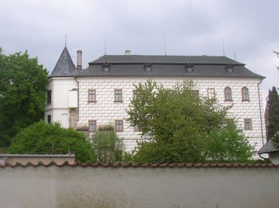
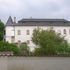
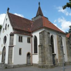
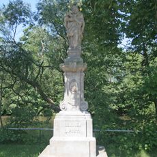
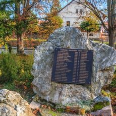
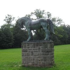
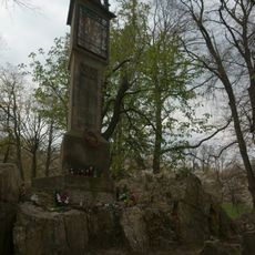
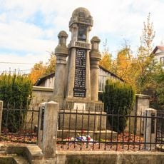
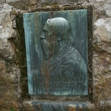
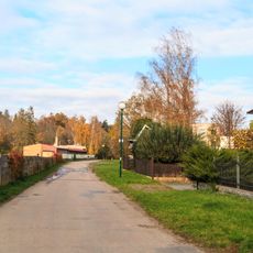
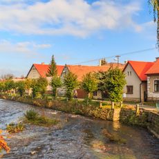
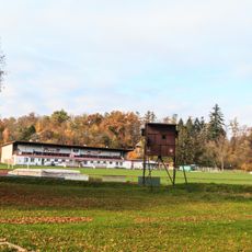
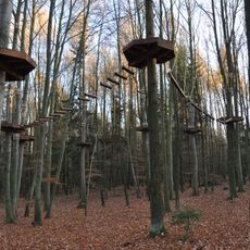
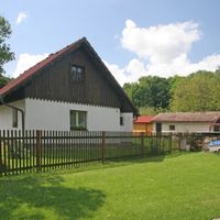
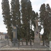
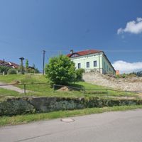
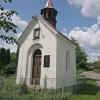
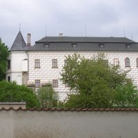
Slatiňany, town in the Czech Republic
Location: Chrudim District
Location: Хрудим
Elevation above the sea: 268 m
Shares border with: Svídnice, Rabštejnská Lhota, Chrudim, Orel, Lukavice, Licibořice
Email: mesto@slatinany.cz
Website: https://slatinany.cz
GPS coordinates: 49.92114,15.81383
Latest update: March 3, 2025 17:09
Slatiňany Castle
297 m
Bára
2.4 km
Kočičí hrádek
1.5 km
Saint Martin church in Slatiňany
312 m
Rozhledna Na Chlumu
2.5 km
Švýcárna
1.3 km
Mlýn Skály
2.1 km
Pískovcové lomy
1.9 km
Hrobka
3 km
Pomník padlých v první světové válce
541 m
Protestant church in Slatiňany
750 m
Statue of John of Nepomuk
330 m
Socha svatého Jana Nepomuckého
1.6 km
Pomník obětem II. světové války
211 m
Statue of horse, Slatiňany castle park
361 m
Maria column
1.3 km
Sloup se sochou Spasitele
297 m
Pomník padlých
1.6 km
Plaque to Jaroslav Vrchlický at Vrchlického návrší
1.3 km
Škrovádské nábřeží
1 km
Smetanovo nábřeží
233 m
Kříž
304 m
Zámecký park
393 m
Stolperstein dedicated to Pavel Stránský
166 m
Stolperstein dedicated to Helena Stránská
166 m
Motorest
1 km
Stadion
651 m
Lanový park
2.3 kmReviews
Visited this place? Tap the stars to rate it and share your experience / photos with the community! Try now! You can cancel it anytime.
Discover hidden gems everywhere you go!
From secret cafés to breathtaking viewpoints, skip the crowded tourist spots and find places that match your style. Our app makes it easy with voice search, smart filtering, route optimization, and insider tips from travelers worldwide. Download now for the complete mobile experience.
A unique approach to discovering new places❞
— Le Figaro
All the places worth exploring❞
— France Info
A tailor-made excursion in just a few clicks❞
— 20 Minutes