
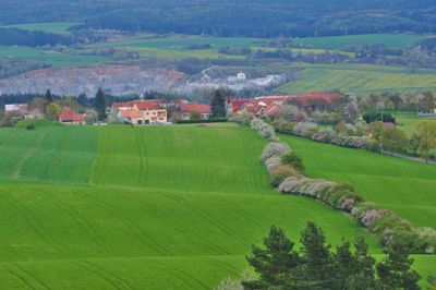
Obora, village in Blansko District of South Moravian region
Location: obvod obce s rozšířenou působností Boskovice
Location: Blansko District
Elevation above the sea: 413 m
Shares border with: Voděrady, Doubravice nad Svitavou, Bořitov, Lhota Rapotina, Krhov, Jabloňany
Email: obec.obora@mybox.cz
Website: http://obecobora.cz
GPS coordinates: 49.45224,16.60565
Latest update: March 15, 2025 15:04
Malý Chlum
1.4 km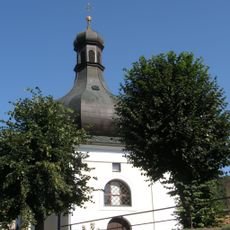
Church of Saint Lawrence in Lhota Rapotina
2.2 km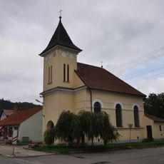
Church of the Visitation of Our Lady
3.2 km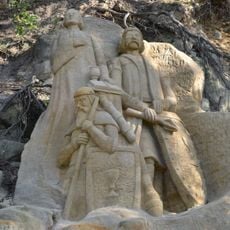
Skalní reliefy mistra Jana Husa, Jana Žižky a Prokopa Holého
1.7 km
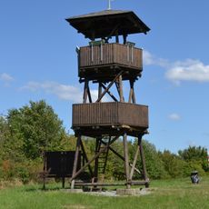
Lebeďák
3.2 km
Zámek Lhota Rapotina
3.7 km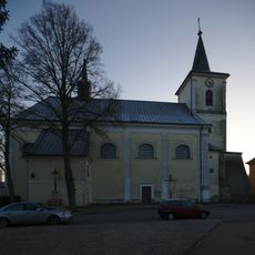
Church of Saint John the Baptist
2.6 km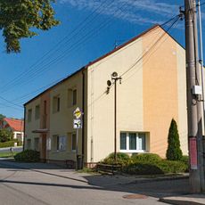
Obecní úřad Bořitov
3.1 km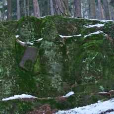
Hlavy bojovníků
1.6 km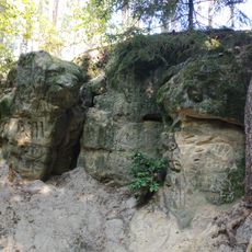
Hlava lva
1.4 km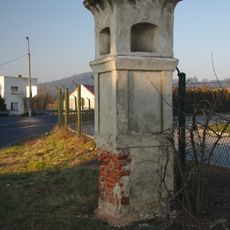
Boží muka
2 km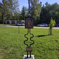
Statue in Huť Sv. Antonie
798 m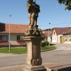
Socha svatého Jana Nepomuckého
2.1 km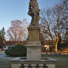
Socha svatého Šebestiána
2.5 km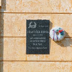
Pamětní deska
3.2 km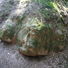
Hlava vojáka
1.6 km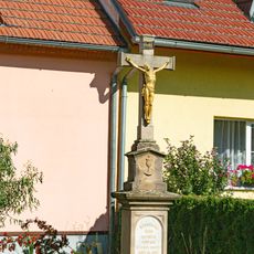
Kříž
3.1 km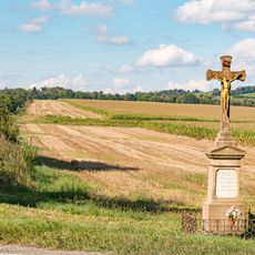
Kříž
3.2 km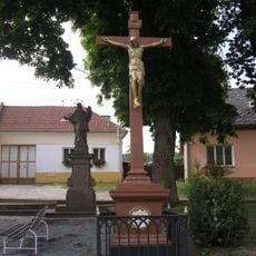
Socha svatého Jana Nepomuckého
1.4 km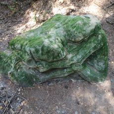
Spící dívka
1.6 km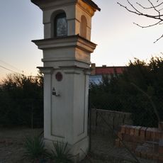
Boží muka u Jarní ulice v Doubravici nad Svitavou
2.8 km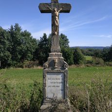
Wayside cross between Bořitov and Huť Sv. Antonie
1.3 km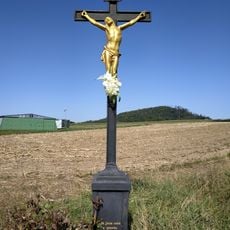
Wayside cross in Bořitov near airport
2.5 km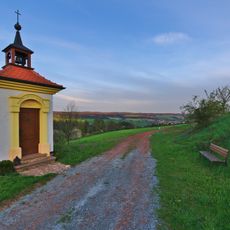
Chapel of the Nativity of the Virgin Mary
286 m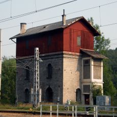
Nádražní vodárna
3 km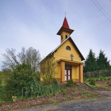
Chapel of the Sacred Heart
2 km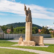
Socha
3.2 km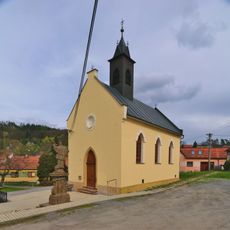
Chapel of Saints Cyril and Methodius
1.4 kmReviews
Visited this place? Tap the stars to rate it and share your experience / photos with the community! Try now! You can cancel it anytime.
Discover hidden gems everywhere you go!
From secret cafés to breathtaking viewpoints, skip the crowded tourist spots and find places that match your style. Our app makes it easy with voice search, smart filtering, route optimization, and insider tips from travelers worldwide. Download now for the complete mobile experience.

A unique approach to discovering new places❞
— Le Figaro
All the places worth exploring❞
— France Info
A tailor-made excursion in just a few clicks❞
— 20 Minutes