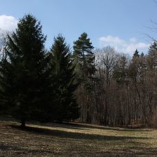
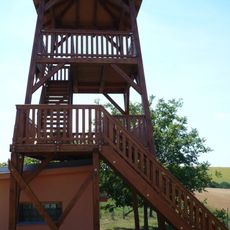
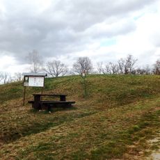
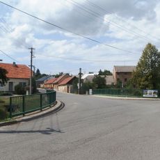
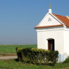
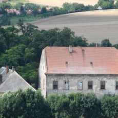
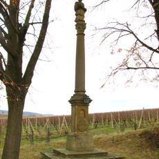
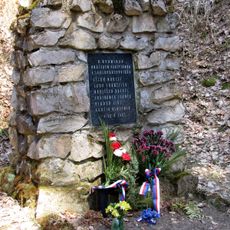
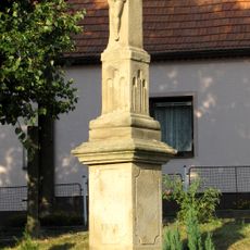
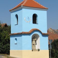
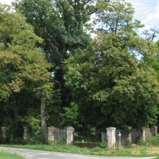
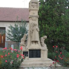
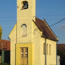
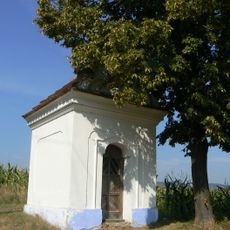
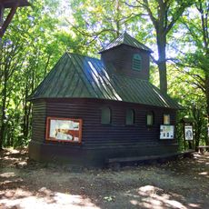
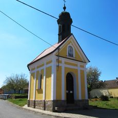
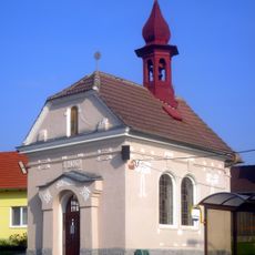
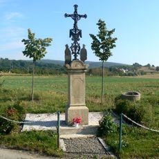
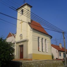
Moravany, village in Hodonín District of South Moravian region
Location: Кыйов
Location: Hodonín District
Elevation above the sea: 248 m
Shares border with: Koryčany, Osvětimany, Hýsly, Čeložnice, Vřesovice, Kostelec
Email: obecmoravany@volny.cz
Website: http://obecmoravany.cz
GPS coordinates: 49.04013,17.16903
Latest update: April 3, 2025 14:55
Hradisko svatého Klimenta
6.2 km
Ježovský lom
4.1 km
Prírodný park Chřiby
7 km
Losky
3.9 km
Church of Saint James the Greater
3.2 km
Moravanské lúky
5.5 km
Rozhledna Johanka
1.6 km
Hošťálka
3.6 km
Most silnice III/43230 přes Hruškovici v Osvětimanech
6.1 km
Chapel
906 m
Zámek Hýsly
1.1 km
Statue of John of Nepomuk in Hýsly
1.6 km
Kameňák memorial in Moravany
4.1 km
Krucifix
1.6 km
Bell tower
1.8 km
Památný strom v parčíku Hýsly
1 km
War Memorial in Moravany
221 m
Nápisová deska Přemka z Víckova
4 km
Chapel of Saint Procopius
2.1 km
Chapel of Saint Wendelin
5.7 km
Chapel of Saint Clemens
6.2 km
Chapel of Saint Joseph
2.7 km
Chapel of the Holy Trinity
123 m
Chapel of Saints Peter and Paul
4 km
Výklenková kaplička - poklona
4.2 km
Krucifix
4.2 km
Chapel of Virgin Mary
3.5 km
Rozcestník Zavadilka - stud.
4.4 kmReviews
Visited this place? Tap the stars to rate it and share your experience / photos with the community! Try now! You can cancel it anytime.
Discover hidden gems everywhere you go!
From secret cafés to breathtaking viewpoints, skip the crowded tourist spots and find places that match your style. Our app makes it easy with voice search, smart filtering, route optimization, and insider tips from travelers worldwide. Download now for the complete mobile experience.
A unique approach to discovering new places❞
— Le Figaro
All the places worth exploring❞
— France Info
A tailor-made excursion in just a few clicks❞
— 20 Minutes