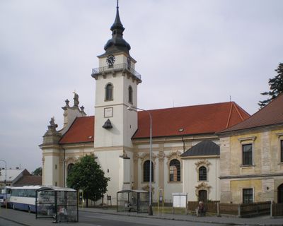
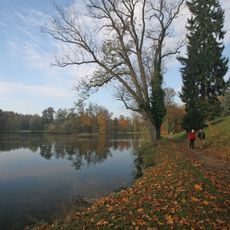
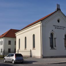
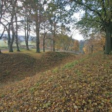
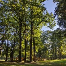
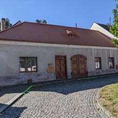
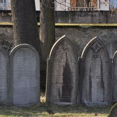
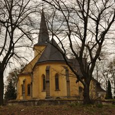
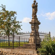
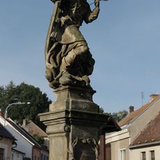
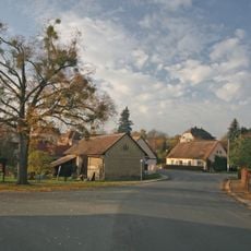
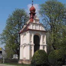
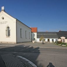
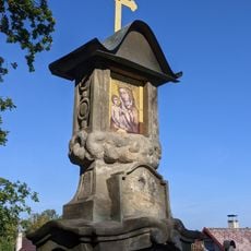
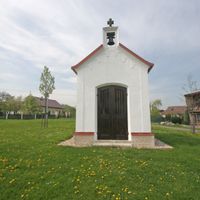
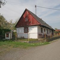
Heřmanův Městec, town in the Czech Republic
Location: Chrudim District
Location: Хрудим
Elevation above the sea: 280 m
Shares border with: Bylany, Kostelec u Heřmanova Městce, Morašice, Načešice, Rozhovice, Klešice, Úherčice, Lány, Svinčany
Email: meu@mesto-hm.cz
Website: http://hermanuv-mestec.cz
GPS coordinates: 49.94712,15.66498
Latest update: March 4, 2025 04:33
Heřmanův Městec Castle
347 m
Church of Saint Bartholomew
172 m
Prírodný park Heřmanův Městec
1.3 km
Synagogue in Heřmanův Městec
288 m
Mrdice
1.3 km
Hradiště with a forecourt
2.5 km
Heřmanův Městec (natural monument)
1.2 km
Bývalý mlýn čp. 145
328 m
Jewish cemetery in Heřmanův Městec
531 m
Church of Saints Peter and Paul (Kostelec u Heřmanova Městce)
2.5 km
Church of the Annunciation of the Virgin Mary (Heřmanův Městec)
369 m
Hussite church in Heřmanův Městec
323 m
Socha svatého Jana Nepomuckého
305 m
Socha Panny Marie Svatohorské
928 m
Socha svatého Václava
350 m
Statue of Saint Lawrence in Heřmanův Městec
307 m
Náměstí Míru 179
108 m
Kaple sv. Kříže
546 m
Kašna
328 m
Stud farm in Heřmanův Městec
370 m
Dům čp. 27
2.4 km
Činžovní dům Medov
394 m
Saint George Chapel
521 m
Dub letní
554 m
Areál židovského ghetta
290 m
Boží muka
1 km
Dům čp. 30
224 m
Náměstí Míru 20
244 mReviews
Visited this place? Tap the stars to rate it and share your experience / photos with the community! Try now! You can cancel it anytime.
Discover hidden gems everywhere you go!
From secret cafés to breathtaking viewpoints, skip the crowded tourist spots and find places that match your style. Our app makes it easy with voice search, smart filtering, route optimization, and insider tips from travelers worldwide. Download now for the complete mobile experience.
A unique approach to discovering new places❞
— Le Figaro
All the places worth exploring❞
— France Info
A tailor-made excursion in just a few clicks❞
— 20 Minutes