Klič, Mountain summit in North Bohemia, Czech Republic.
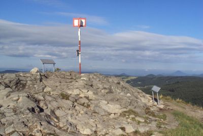
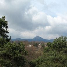
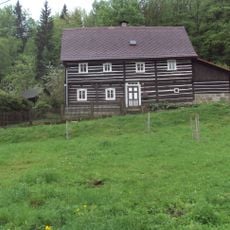
Kleis, known in Czech as Klíč, is a mountain summit in the Lusatian Mountains in North Bohemia, Czech Republic, rising to about 760 meters (2,490 feet). The peak stands above dense forests that cover most of the surrounding slopes and can be seen from many points in the wider region.
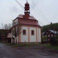
The mountain has carried both its Czech name Klíč and its German name Kleis for centuries, reflecting the long coexistence of Czech and German-speaking communities in this border region. After the Second World War, the German-speaking population was expelled, but both names have remained in use to this day.
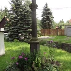
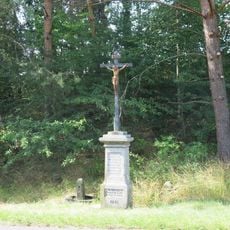
The Czech name Klíč means "key" in English, which may refer to the mountain's old role as a passage through the hills. Walkers from nearby villages often use the summit as a weekend destination, and the trails around it stay busy throughout the warmer months.
Several marked hiking trails lead to the summit from different directions, so it is worth checking which starting point suits your route best before setting out. Parking is available at the main access points, and the trails are generally well signed throughout.
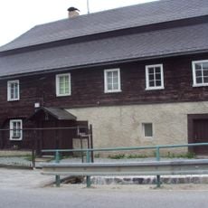
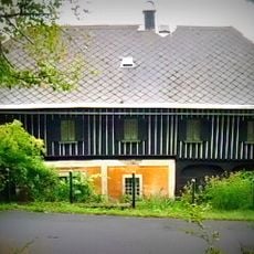
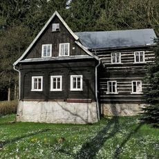
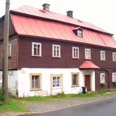
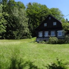
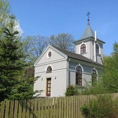
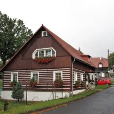
Near the base of the mountain, a hotel operates inside a restored brewery building, where guests can take guided tours of the working brewing facilities on site. This means visitors can combine a hike to the summit with a look at how beer is still being made in the same building where they sleep.
The community of curious travelers
AroundUs brings together thousands of curated places, local tips, and hidden gems, enriched daily by 60,000 contributors worldwide.