
Malhotice, village in Přerov District of Olomouc region
Location: Přerov District
Location: Hranice (klein district)
Elevation above the sea: 296 m
Shares border with: Horní Těšice, Ústí, Všechovice, Opatovice, Rouské, Býškovice
Email: ou.malhotice@tiscali.cz
Website: http://malhotice.cz
GPS coordinates: 49.49001,17.76418
Latest update: March 4, 2025 12:23

Socha svatého Jana Nepomuckého
3.9 km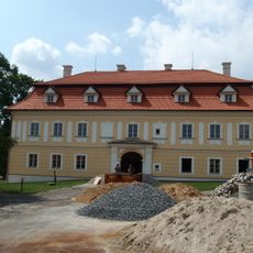
Všechovice Castle
3.3 km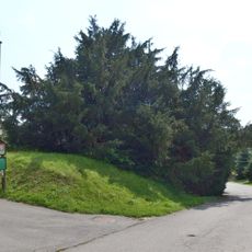
Všechovický tis
3.3 km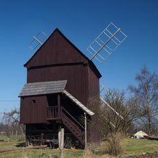
Windmill Skalička
3.6 km
Těšice
2.3 km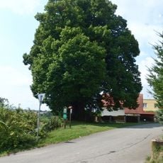
Lípa Jana Jiskry z Brandýsa
2.3 km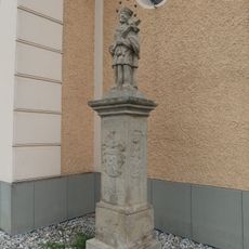
Socha svatého Jana Nepomuckého
71 m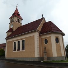
Church of the Immaculate Conception
77 m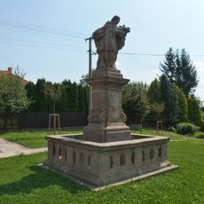
Socha svatého Jana Nepomuckého
2.3 km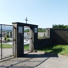
Cemetery in Všechovice
3 km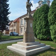
Socha svatého Jana Nepomuckého
3.9 km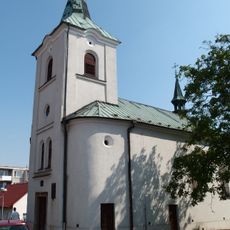
Church of Saint Catherine
3.9 km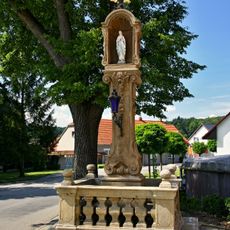
Boží muka v Teplicích nad Bečvou
4.6 km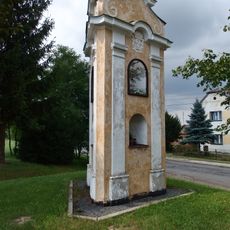
Boží muka
3.4 km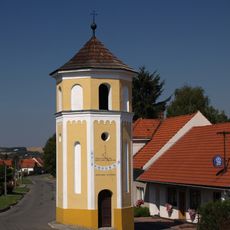
Zvonice
3.6 km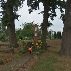
Boží muka
313 m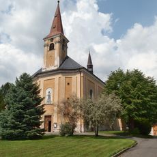
Church of Holy Trinity
3.1 km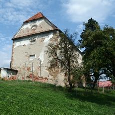
Sýpka
3.7 km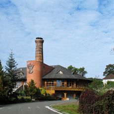
Vápenka s vápencovým lomem
4.2 km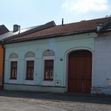
Měšťanský dům
3.9 km
Měšťanský dům
3.9 km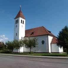
Church of Saints Peter and Paul
3 km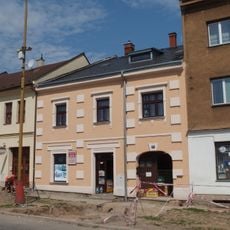
Měšťanský dům
3.9 km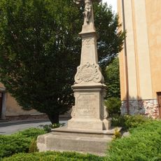
Krucifix
3.1 km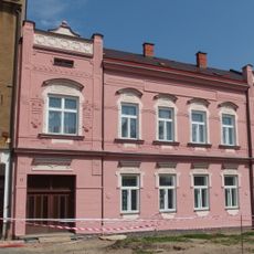
Měšťanský dům
3.9 km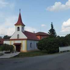
Chapel of Saint Anne
4.2 km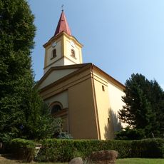
Church of Saint Margaret
4 km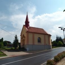
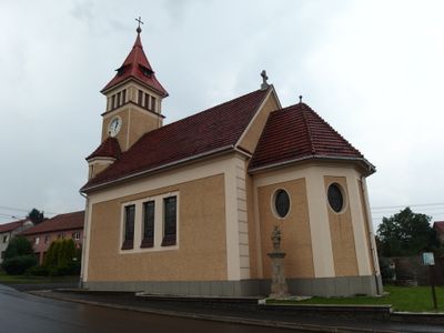
Chapel of Saint Maurice
2.1 kmVisited this place? Tap the stars to rate it and share your experience / photos with the community! Try now! You can cancel it anytime.
Discover hidden gems everywhere you go!
From secret cafés to breathtaking viewpoints, skip the crowded tourist spots and find places that match your style. Our app makes it easy with voice search, smart filtering, route optimization, and insider tips from travelers worldwide. Download now for the complete mobile experience.

A unique approach to discovering new places❞
— Le Figaro
All the places worth exploring❞
— France Info
A tailor-made excursion in just a few clicks❞
— 20 Minutes