
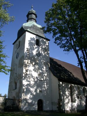
Kostelní Kraslice, neighborhood of Kraslice
Location: Kraslice
Elevation above the sea: 690 m
GPS coordinates: 50.30194,12.42250
Latest update: March 3, 2025 11:14
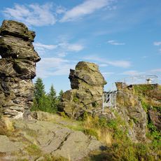
Vysoký kámen
1.1 km
Hoher Brand
4.9 km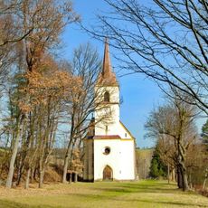
Church of Holy Trinity
5 km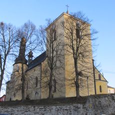
Church of Saint Andrew
5.4 km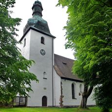
Church of Saint Giles
98 m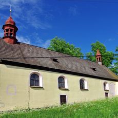
Church of Saint James the Greater
4.9 km
Lubská lípa
4.7 km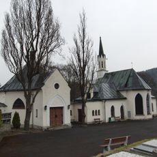
Cemetery chapel in Kraslice
6.8 km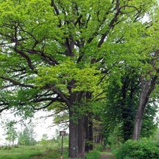
Zámecká alej a skupina buků v Horních Lubech
4.9 km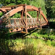
Most přes Svatavu na stezce severozápadně od Kraslic
6.7 km
Lípa v Krásné u Kraslic
5.6 km
Jasan v bývalé Dolní Vsi
4.7 km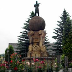
Socha houslaře v Lubech
5.4 km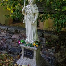
Socha svatého Jakuba ve Sněžné
5 km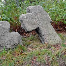
Penitence crosses in Kostelní
79 m
Pomník obce Sněžná ve Sněžné
5 km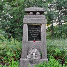
Pomník obětem světových válek
4.5 km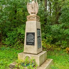
World War I memorial
5.2 km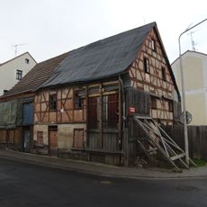
House Nr. 216,217 in Kraslice
6.8 km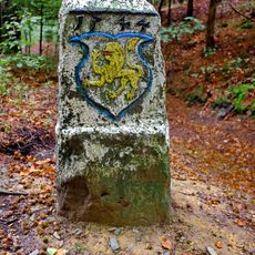
Hraniční kámen
2.1 km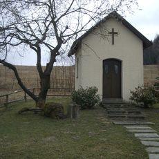
Chapel of Fourteen Holy Helpers
946 m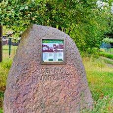
Pomník obce Černá v Černé
2.8 km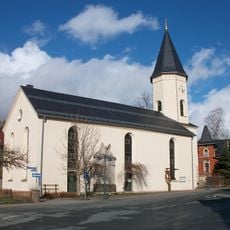
Kirche Erlbach
3.9 km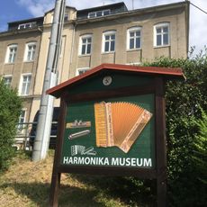
Harmonikamuseum Zwota
5.9 km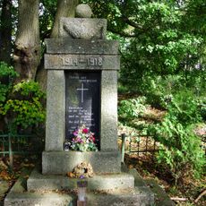
World War I memorial in Sněžná
5 km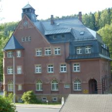
Rathaus Markneukirchner Straße 32
5.6 km
Gemeindeamt Klingenthaler Straße 1
3.6 km
Station 147 Hohenbrand
4.9 kmReviews
Visited this place? Tap the stars to rate it and share your experience / photos with the community! Try now! You can cancel it anytime.
Discover hidden gems everywhere you go!
From secret cafés to breathtaking viewpoints, skip the crowded tourist spots and find places that match your style. Our app makes it easy with voice search, smart filtering, route optimization, and insider tips from travelers worldwide. Download now for the complete mobile experience.

A unique approach to discovering new places❞
— Le Figaro
All the places worth exploring❞
— France Info
A tailor-made excursion in just a few clicks❞
— 20 Minutes