
Kateřinice, village in Nový Jičín District of Moravian Silesian region
Location: Nový Jičín District
Location: správní obvod obce s rozšířenou působností Kopřivnice
Elevation above the sea: 260 m
Website: http://www.katerinice.cz/
Shares border with: Hukvaldy, Trnávka, Příbor, Fryčovice, Skotnice
Email: obec@katerinice.cz
Website: http://katerinice.cz
GPS coordinates: 49.66918,18.18821
Latest update: March 13, 2025 01:50
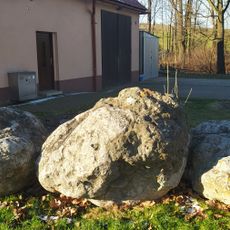
Rychaltické balvany
3.5 km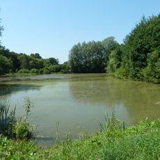
Rybníky v Trnávce
1.6 km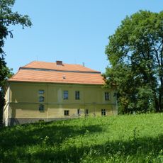
Zámek Trnávka
1.7 km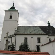
Church of the Assumption of the Virgin Mary
3 km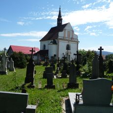
Church of St Francis Seraph
4.2 km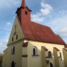
Church of Holy Cross, Příbor
4.4 km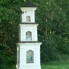
Boží muka
3.9 km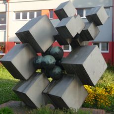
Sculpture in front of the elementary school
4.3 km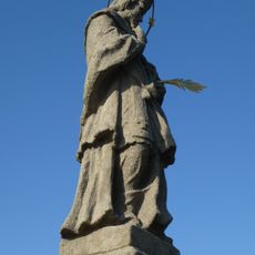
Statue of John of Nepomuk
4.1 km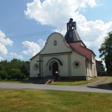
Chapel of the Assumption
3.7 km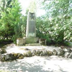
World War II Memorial, Příbor, Nábřeží Rudoarmějců
4.3 km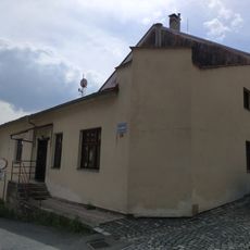
Karla Hynka Máchy 36
4.4 km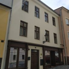
Místecká 38
4.5 km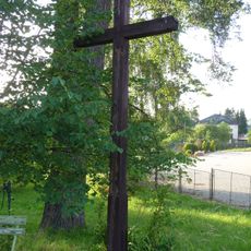
Wooden wayside cross
4 km
Granary
4.2 km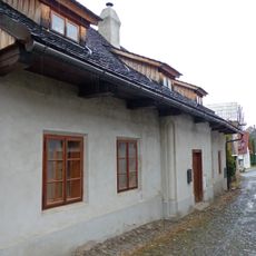
Úzká 317
4.4 km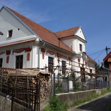
Dům Pod Františkem
4.2 km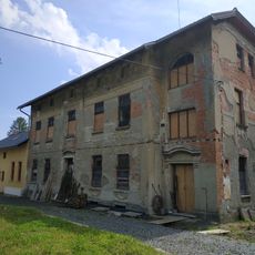
Ostravská 80
4.3 km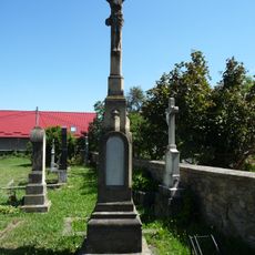
Cemetery cross in the Old Příbor Cemetery
4.2 km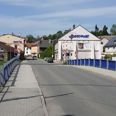
Klokočov bridge
4.2 km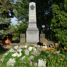
Memorial on 9. května street
4 km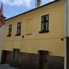
Místecká 37
4.5 km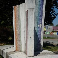
Sculpture in Příbor, Místecká
4.1 km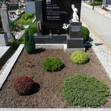
Memorial of Oldřich Helma
4.3 km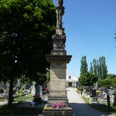
Cemetery cross in the New Příbor Cemetery
4.2 km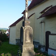
Wayside cross near Church of Holy Cross
4.4 km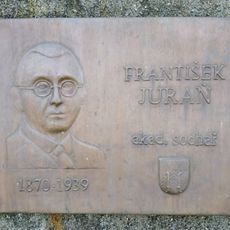
Plaque František Juraň
4.2 km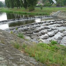
Mocek weir on Lubina
4.4 kmReviews
Visited this place? Tap the stars to rate it and share your experience / photos with the community! Try now! You can cancel it anytime.
Discover hidden gems everywhere you go!
From secret cafés to breathtaking viewpoints, skip the crowded tourist spots and find places that match your style. Our app makes it easy with voice search, smart filtering, route optimization, and insider tips from travelers worldwide. Download now for the complete mobile experience.

A unique approach to discovering new places❞
— Le Figaro
All the places worth exploring❞
— France Info
A tailor-made excursion in just a few clicks❞
— 20 Minutes