
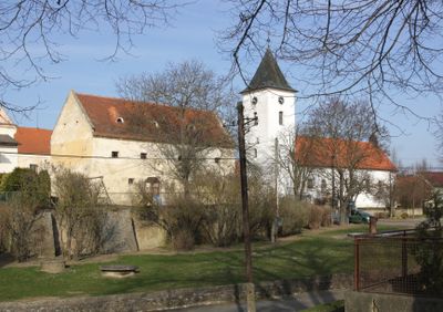
Horní Kounice, village in Znojmo District of South Moravian region
Location: správní obvod obce s rozšířenou působností Moravský Krumlov
Location: Znojmo District
Elevation above the sea: 355 m
Shares border with: Trstěnice, Čermákovice, Přeskače, Rešice, Tavíkovice, Tulešice, Medlice, Rouchovany
Email: hornikounice@tiscali.cz
Website: http://hornikounice.cz
GPS coordinates: 49.02603,16.15227
Latest update: March 4, 2025 13:44
Church of all saints in Přeskače
3.5 km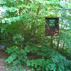
Prírodný park Rokytná
2.1 km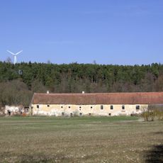
Alinkov
2.9 km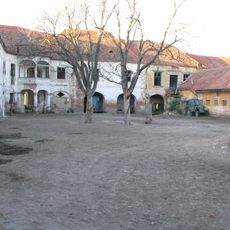
Rešice Castle
2.7 km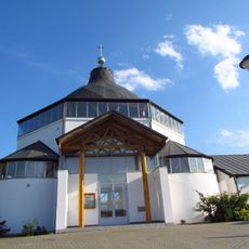
Our Lady Church, Tavíkovice
3.4 km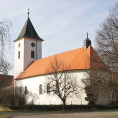
Church of Saint Michael the Archangel (Horní Kounice)
62 m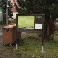
Řeka Rokytná
2.8 km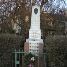
Památník obětem světových válek
3.4 km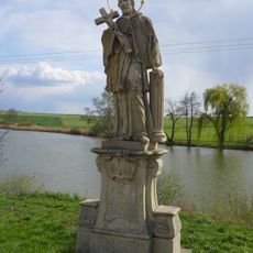
Socha svatého Jana Nepomuckého
3.3 km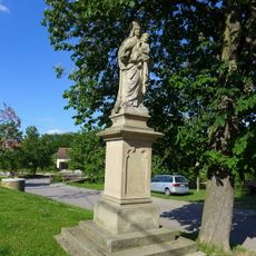
Statue of the Virgin Mary in Rešice
3.4 km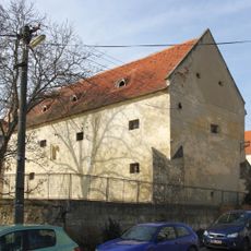
Tvrz Horní Kounice
110 m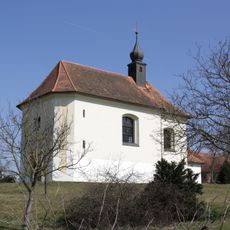
Chapel of Saint Florian
4.4 km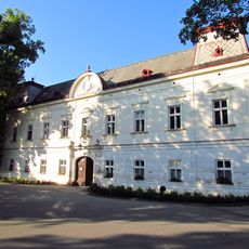
Tavíkovice Chateau
3.4 km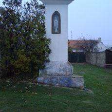
Boží muka
241 m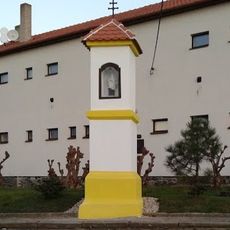
Boží muka
382 m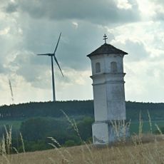
Boží muka
4.8 km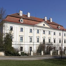
Tulešice Castle
4.2 km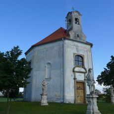
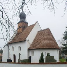
Chapel of Saint John of Nepomuk in Rešice
3.6 km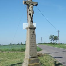
Kříž
3.8 km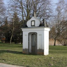
Kaplička
310 m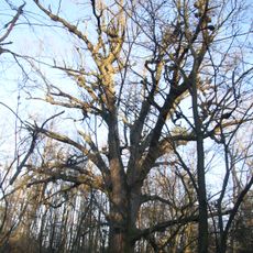
Knolův dub
3.9 km
Kříž u silnice 396 východně od Rouchovan
4.4 km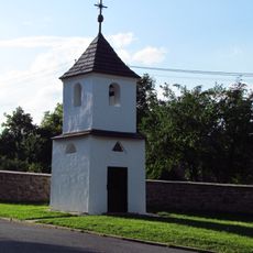
Zvonice
3.4 km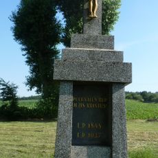
Kříž z roku 1937 v Šemíkovicích
4.1 km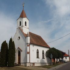
Chapel of Saints Cyril and Methodius
3 km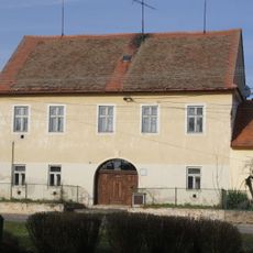
Fara
85 m
Tavíkovice - zámek
3.4 km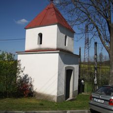
Kaplička v Kordule
4.2 kmVisited this place? Tap the stars to rate it and share your experience / photos with the community! Try now! You can cancel it anytime.
Discover hidden gems everywhere you go!
From secret cafés to breathtaking viewpoints, skip the crowded tourist spots and find places that match your style. Our app makes it easy with voice search, smart filtering, route optimization, and insider tips from travelers worldwide. Download now for the complete mobile experience.

A unique approach to discovering new places❞
— Le Figaro
All the places worth exploring❞
— France Info
A tailor-made excursion in just a few clicks❞
— 20 Minutes