
Rozstání, village in Prostějov District of Olomouc region
Location: Prostějov District
Location: upravni občinski okoliš z razširjenimi pristojnostmi Prostějov
Elevation above the sea: 545 m
Shares border with: Holštejn, Vysočany, Niva, Otinoves, Studnice, Kulířov, Krásensko, Lipovec
Email: ou-rozstani@iol.cz
Website: http://rozstani.eu
GPS coordinates: 49.39772,16.84038
Latest update: March 6, 2025 06:26
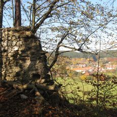
Holštejn Castle
4.7 km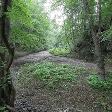
Nová rasovna
4.5 km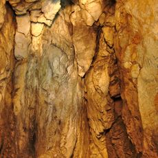
Hladomorna
4.6 km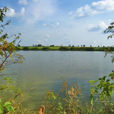
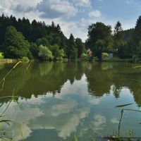
Nebeský rybník
4.6 km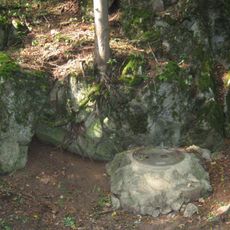
Jeskyně Spirálka
4.8 km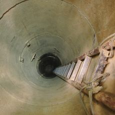
Jeskyně Piková dáma
4.8 km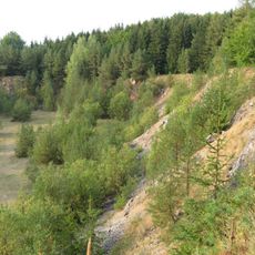
Vápenka a lom Velká dohoda
4.6 km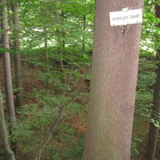
Wankelův závrt
4.8 km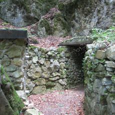
Holštejnská jeskyně
4.5 km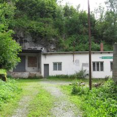
Michalka
4.9 km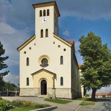
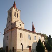
Church of Saints Cyril and Methodius
4.4 km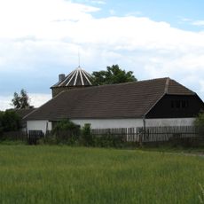
Windmill in Rozstání
695 m
Stará rasovna
4.6 km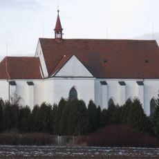
Church of the Nativity of the Virgin Mary
3.1 km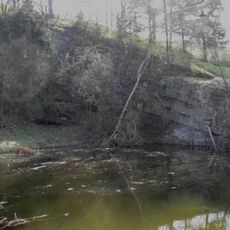
Černá skála (natural monument, Blansko District)
3.2 km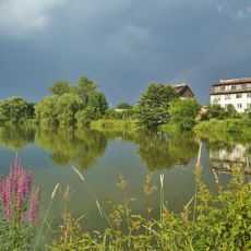
Nivské louky
5.6 km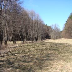
Studnické louky
3.1 km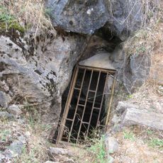
Jeskyně Velká dohoda
4.6 km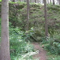
Jeskyně Dagmar
5 km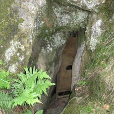
Jeskyně Plánivy
4.2 km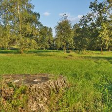
Návesní niva
5 km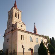
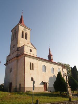
Church of Saint Michael
272 m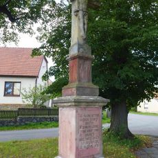
Cross in Housko
4.8 km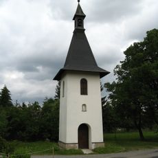
Bell tower in Niva
5 km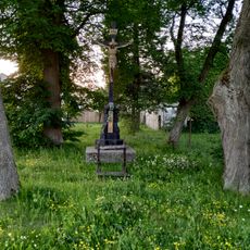
Krucifix
5 km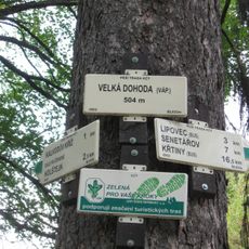
Rozcestník Velká Dohoda - váp.
4.5 km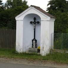
Chapel-shrine with wayside cross in Niva
5.3 km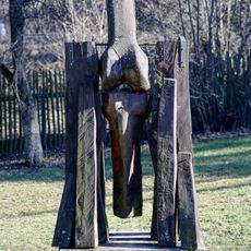
Dřevěná plastika v Krásensku
3.6 kmVisited this place? Tap the stars to rate it and share your experience / photos with the community! Try now! You can cancel it anytime.
Discover hidden gems everywhere you go!
From secret cafés to breathtaking viewpoints, skip the crowded tourist spots and find places that match your style. Our app makes it easy with voice search, smart filtering, route optimization, and insider tips from travelers worldwide. Download now for the complete mobile experience.

A unique approach to discovering new places❞
— Le Figaro
All the places worth exploring❞
— France Info
A tailor-made excursion in just a few clicks❞
— 20 Minutes