
Petrovice, village and municipality (obec) in Znojmo District in the South Moravian Region of the Czech Republic
Location: správní obvod obce s rozšířenou působností Moravský Krumlov
Location: Znojmo District
Elevation above the sea: 256 m
Shares border with: Dobelice, Kadov, Hostěradice, Rybníky, Lesonice
Email: info@petrovice.com
Website: http://petrovice.com
GPS coordinates: 49.00677,16.29246
Latest update: March 18, 2025 07:49
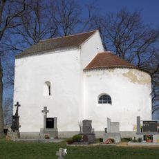
Chapel of Saint Margaret (Rybníky)
1.9 km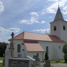
Church of Saints Philip and James in Kadov
2.7 km
Church of Saints Cyril and Methodius
2.4 km
Na Kocourkách (nature reserve)
3.3 km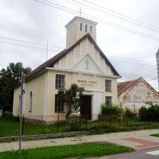
Husitský kostel
3.4 km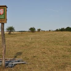
Stříbrný vrch (Znojmo District)
4.3 km
Church of the Nativity of the Virgin Mary
3.2 km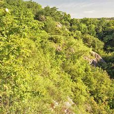
Kadovská skála
3 km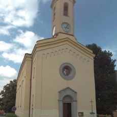
Kostel Povýšení svatého Kříže
110 m
Socha svatého Jana Nepomuckého
2.7 km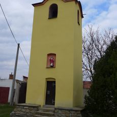
Bell tower in Lesonice
1.4 km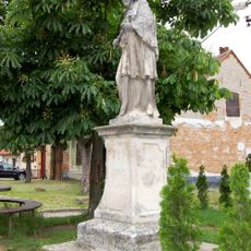
Statue of Saint John of Nepomuk in Vémyslice
3 km
Socha svatého Jana Nepomuckého
1.3 km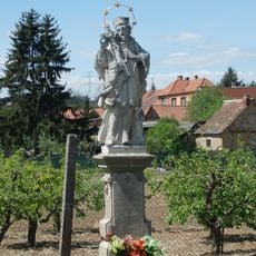
Statue of John of Nepomuk in Rybníky
2.2 km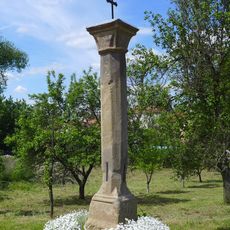
Boží muka
2.4 km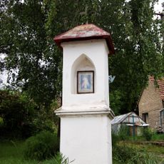
Column shrine in Rybníky
2.2 km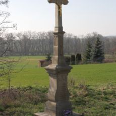
Wayside cross in Rybníky
2.2 km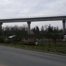
Železniční viadukt Rakšice
2.8 km
Boží muka
1.3 km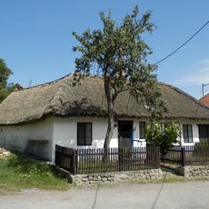
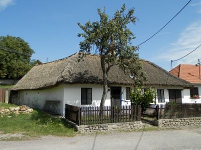
Usedlost čp. 10
194 m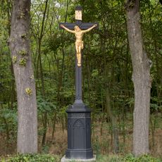
Black wayside cross in Miroslavské Knínice
2.8 km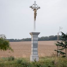
Petrův kříž
3.2 km
Kadovská skála
3 km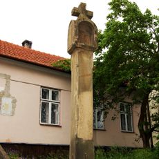
Boží muka
3.2 km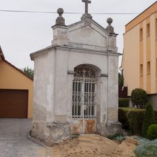
Denkova kaple
3.6 km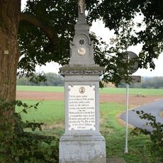
Wayside cross in Rybníky
2.1 km
Na Kocourkách
3.5 km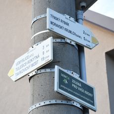
Rozcestník Rybníky
2.2 kmVisited this place? Tap the stars to rate it and share your experience / photos with the community! Try now! You can cancel it anytime.
Discover hidden gems everywhere you go!
From secret cafés to breathtaking viewpoints, skip the crowded tourist spots and find places that match your style. Our app makes it easy with voice search, smart filtering, route optimization, and insider tips from travelers worldwide. Download now for the complete mobile experience.

A unique approach to discovering new places❞
— Le Figaro
All the places worth exploring❞
— France Info
A tailor-made excursion in just a few clicks❞
— 20 Minutes