
Stálky, village in Znojmo District of South Moravian region
Location: Znojmo
Location: Znojmo District
Elevation above the sea: 435 m
Shares border with: Uherčice, Podhradí nad Dyjí, Starý Petřín, Šafov, Vratěnín, Langau, Drosendorf-Zissersdorf
Email: obecstalky@tiscali.cz
Website: http://obecstalky.cz
GPS coordinates: 48.87018,15.68468
Latest update: March 3, 2025 15:00

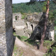
Frejštejn
3.2 km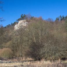
Bílý kříž
4.3 km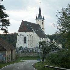
Pfarrkirche Drosendorf
4.1 km
Jewish cemetery in Šafov
3.4 km
Podhradské skály
3.8 km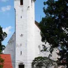
Church of the Assumption
66 m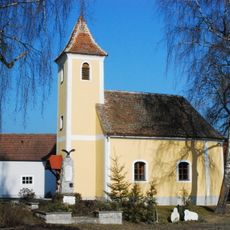
Ortskapelle Heinrichsreith
1.9 km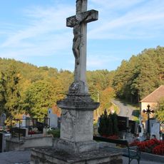
Friedhof Drosendorf
4.1 km
Kirchenruine Johanneskapelle
4 km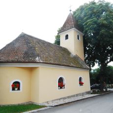
Ortskapelle Wolfsbach
2.6 km
Holy Trinity column in Podhradí nad Dyjí
3.4 km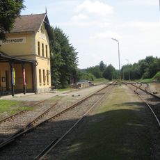
Bahnhof Drosendorf
4.5 km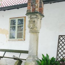
Bildstock
4.1 km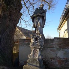
Socha svatého Jana Nepomuckého
15 m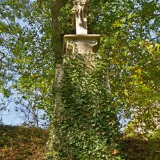
Stone crucifix, Drosendorf Stadt
4.6 km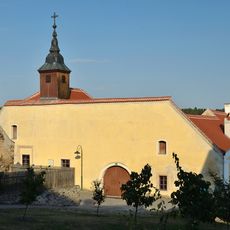
Ehem. Bürgerspital
4.6 km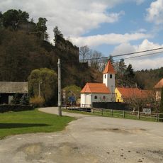
Chapel of Saint Peter and Paul
3.3 km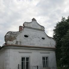
Dům čp. 79
3.3 km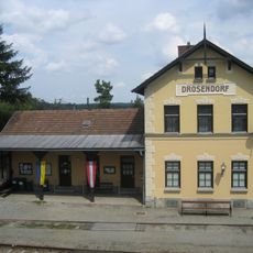
Station building Drosendorf
4.5 km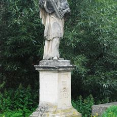
Figurenbildstock hl. Johannes Nepomuk
4.3 km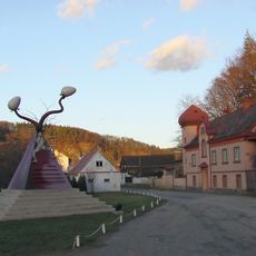
Cosmically Timed Parapyramidal Potency
3.3 km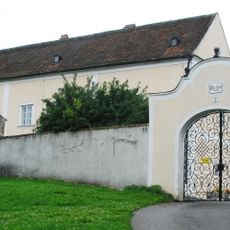
Pfarrhof
4.2 km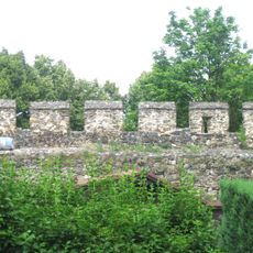
Befestigungsanlage, Hauptmauer mit Türmen
4.6 km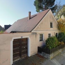
Bürgerhaus
4.6 km
Bürgerhaus
4.6 km
Kieslingmühle
4.7 km
Bürgerhaus
4.6 km
Bürgerhaus
4.6 kmVisited this place? Tap the stars to rate it and share your experience / photos with the community! Try now! You can cancel it anytime.
Discover hidden gems everywhere you go!
From secret cafés to breathtaking viewpoints, skip the crowded tourist spots and find places that match your style. Our app makes it easy with voice search, smart filtering, route optimization, and insider tips from travelers worldwide. Download now for the complete mobile experience.

A unique approach to discovering new places❞
— Le Figaro
All the places worth exploring❞
— France Info
A tailor-made excursion in just a few clicks❞
— 20 Minutes