
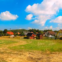
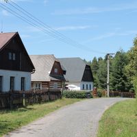
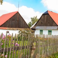
Holetín, village in Chrudim District of Pardubice region
Location: Chrudim District
Location: správní obvod obce s rozšířenou působností Hlinsko
Elevation above the sea: 570 m
Shares border with: Mrákotín, Raná, Hlinsko, Tisovec, Včelákov
Email: info@obecholetin.cz
Website: http://obecholetin.cz
GPS coordinates: 49.80220,15.92690
Latest update: March 4, 2025 03:10
Open-air Museum Vysočina
4.6 km
Category:Příkrakov (windmill)
2.5 km
Ratajské rybníky
3.7 km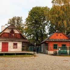
Betlém
4.6 km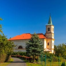
Church of Saint Mary Magdalene (Včelákov)
3.3 km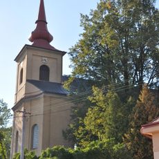
Church of the Nativity of the Virgin Mary (Hlinsko)
4.7 km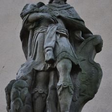
Statue of Saint Wenceslaus
4.7 km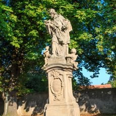
Socha svatého Jana Nepomuckého
3.4 km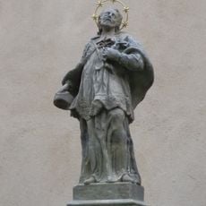
Statue of John of Nepomuk
4.7 km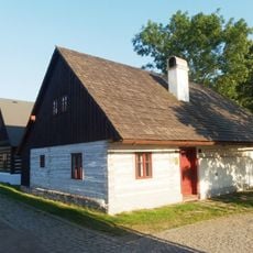
Příčná 416 (Hlinsko)
4.6 km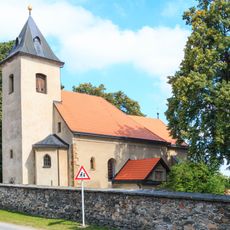
Church of Saint James the Greater
2.7 km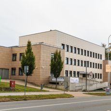
Multifunkční centrum
4.2 km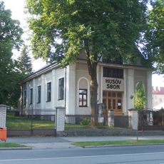
Hussite church
4.2 km
Příčná 400
4.6 km
Pomník rudoarmějců
4.6 km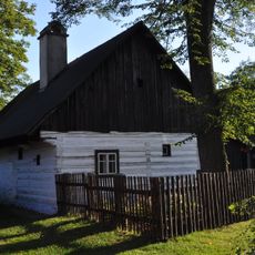
Veleslavínova 162
4.6 km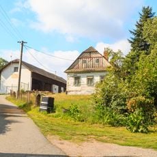
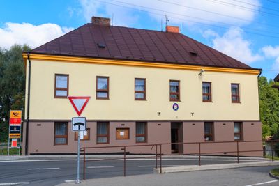
Dům čp. 35
610 m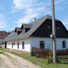
Horní Babákov če. 4
3 km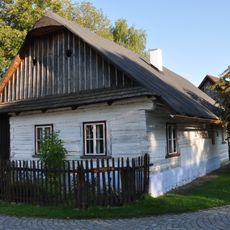
Veleslavínova 161
4.6 km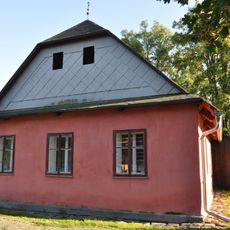
Veleslavínova 318
4.6 km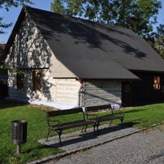
Příčná 466
4.6 km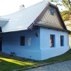
Příčná 361
4.6 km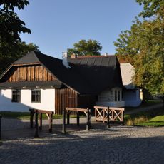
Příčná 362 (Hlinsko)
4.6 km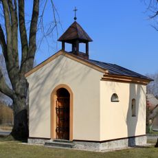
Chapel of the Visitation
4.4 km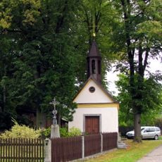
Chapel in Dolní Babákov
2 km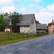
Chapel of Saint John the Baptist
1.1 km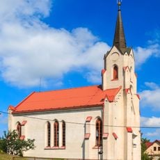
Evangelical church in Raná
2.8 km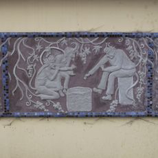
Relief in Čertovina
3.1 kmReviews
Visited this place? Tap the stars to rate it and share your experience / photos with the community! Try now! You can cancel it anytime.
Discover hidden gems everywhere you go!
From secret cafés to breathtaking viewpoints, skip the crowded tourist spots and find places that match your style. Our app makes it easy with voice search, smart filtering, route optimization, and insider tips from travelers worldwide. Download now for the complete mobile experience.

A unique approach to discovering new places❞
— Le Figaro
All the places worth exploring❞
— France Info
A tailor-made excursion in just a few clicks❞
— 20 Minutes