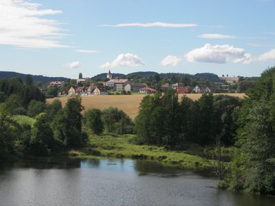
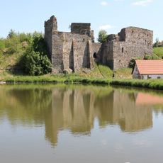
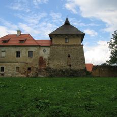
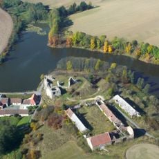
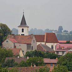
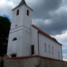
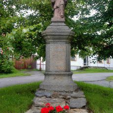
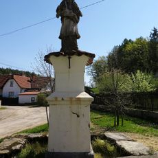
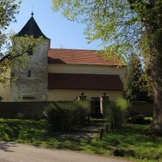
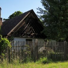
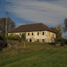
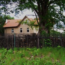
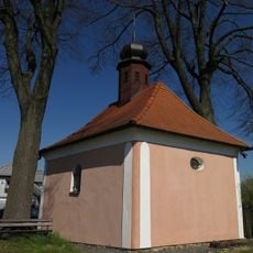
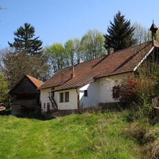
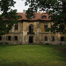
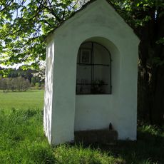
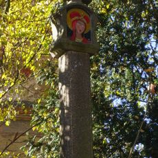
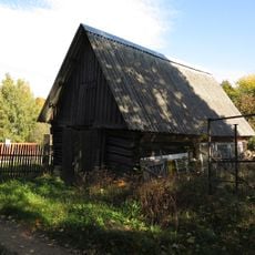
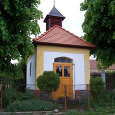
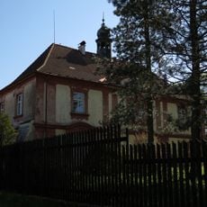
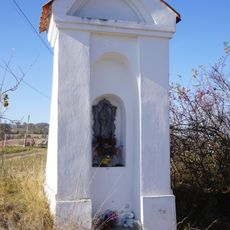
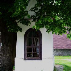
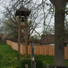
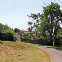
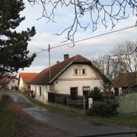
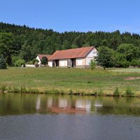
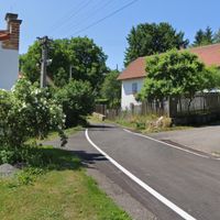
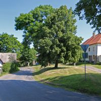
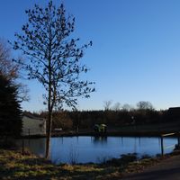
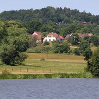
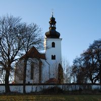
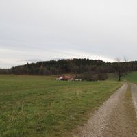
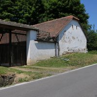
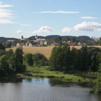
Borotín, town in the South Bohemian Region
Location: Tábor District
Location: správní obvod obce s rozšířenou působností Tábor
Elevation above the sea: 520 m
Shares border with: Radkov, Sedlec-Prčice, Sudoměřice u Tábora, Jistebnice, Chotoviny, Mezno, Střezimíř
Email: obec.borotin@tiscali.cz
Website: http://borotin.cz
GPS coordinates: 49.50510,14.61300
Latest update: March 4, 2025 21:16
Starý Zámek
1.3 km
Church of the Nativity of the Virgin Mary
2.7 km
Tvrz Vrchotice
5.8 km
Dvůr Starý zámek
1.4 km
Church of the Ascension of Christ
84 m
Suchdolský rybník
2 km
Jewish cemetery in Prudice
4.3 km
Chapel of Saint John of Nepomuk (Červený Újezd)
5.6 km
Church of Saint Matthew
5.7 km
Socha svatého Jana Nepomuckého v Borotíně
70 m
Penitence cross 0422
2.2 km
Socha svatého Jana Nepomuckého
5.6 km
Church of Saint Gall in Střezimíř
2.9 km
Usedlost čp. 12
3.7 km
Zámek Milhostice
4.9 km
Vila čp. 32
5.9 km
Chapel of Saint Adalbert
2.9 km
Usedlost čp. 1
4.8 km
Zámek Kamenná Lhota
1.8 km
Chapel of Saint John of Nepomuk
2.5 km
Boží muka - kamenný sloupek
3.3 km
Roubená stodola se špýcharem u čp. 7
2.8 km
Výklenková kaplička
3.2 km
Střezimíř Castle
3 km
Lípa ve Střezimíři
3 km
Výklenková kaplička
745 m
Kaplička u hřbitova
6 km
Zvonička v Prudicích
4.8 kmReviews
Visited this place? Tap the stars to rate it and share your experience / photos with the community! Try now! You can cancel it anytime.
Discover hidden gems everywhere you go!
From secret cafés to breathtaking viewpoints, skip the crowded tourist spots and find places that match your style. Our app makes it easy with voice search, smart filtering, route optimization, and insider tips from travelers worldwide. Download now for the complete mobile experience.
A unique approach to discovering new places❞
— Le Figaro
All the places worth exploring❞
— France Info
A tailor-made excursion in just a few clicks❞
— 20 Minutes